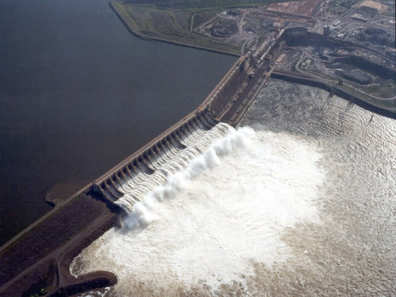
The Tucuruí Dam (Portuguese: Usina Hidrelétrica de Tucuruí) is a concrete gravity dam on the Tocantins River located in the Tucuruí County in the State of Pará, Brazil.
The main purpose of the dam is hydroelectric power production and navigation. It is the first large-scale hydroelectric project in the Brazilian Amazon rainforest. The installed capacity of the 25-unit plant is 8,370 megawatts (11,220,000 hp). Phase I construction began in 1980 and ended in 1984, while Phase II began in 1998 and ended in 2010. The dam was featured in the 1985 film The Emerald Forest.
Background and history
- 1964: The United States Bureau of Reclamation and the United States Agency for International Development conducted a preliminary survey of the Tocantins River.
- 1968: The Amazon Energy Research Coordination Committee was established, and the hydropower project “Tocantins Research” was started in 1969.
- 1973: Brazilian President Emílio Médici is asked to allocate funds for the dam on the Tocantins.
- 1973: The Engevix-Ecotec consortium conducted a feasibility study and eliminated the San Antonio Dam in 1974.
- 1974: The Tucuruí Dam was approved during the administration of President Ernesto Geisel.
- 1975: A consortium composed of Brazil’s Engevix and Themag companies was hired to develop the basic design and execute the design.
- 1976: Camargo Correa won the bid to build the dam.
Construction
Phase I
- November 24, 1975: Construction of the first phase of the dam began. Including the upper part of dams, dikes, power stations, spillways, and navigation locks.
- February 1, 1977: Started pouring concrete on site.
- September 1978: Water diversion started.
- September 6, 1984: The reservoir started to fill with water and entered the normal pool after 206 days.
By November 10, 1984, the construction work was three years behind the original plan.
The navigation lock in the dam design was only partially completed in Phase 1, with only the upper part. The construction cost is estimated to be US$3.6 billion, but it will rise to US$5.5 billion by the end of construction. Including interest during the construction period, the total cost of Phase 1 is US$7.5 billion.
Before 1999, the first phase produced an average of 21,428 terawatt-hours (77,140 PJ) of electricity.
Phase II
- June 1998: Construction of the second phase of the project costing US$1.35 billion began.
This phase requires constructing a new powerhouse for 11 375 MW (503,000 hp) Francis turbines and the completion of the navigation and locking system. The new power station is located on the left side of the old power station, locked on the north side of the dam abutment.
The second phase is expected to be completed in 2006, but the progress is behind.
- April 2007: The second power room was completed, but the navigation lock’s construction was behind schedule.
Dam
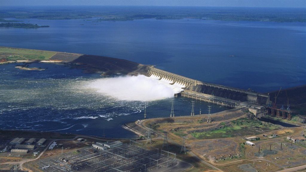
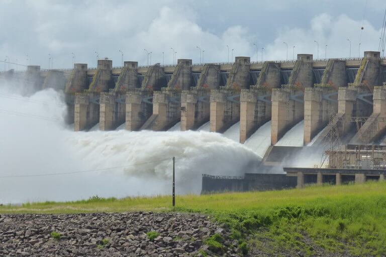
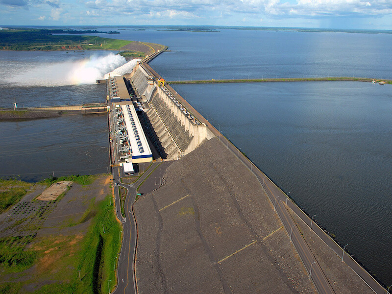
The main portion of Tucuruí Dam is a 78-meter-high (256 ft) and 6.9-kilometre-long (4.3 mi) concrete-gravity dam. The Mojú and Caraipé earth-fill dikes’ addition increases the total length to 12,515 meters (41,060 ft).
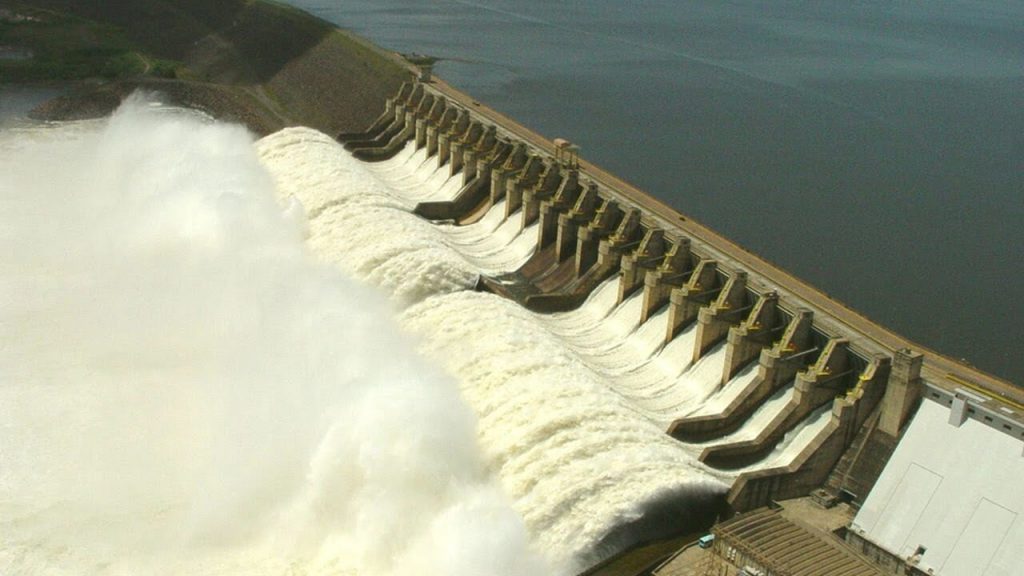
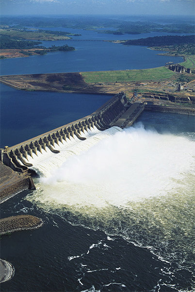
The main dam’s Creager-type service spillway is the second largest in the world, with a maximum capacity of 110,000 cubic meters per second (3,900,000 cu ft/s). It is controlled by 20 floodgates measuring 20 by 21 meters (66 ft × 69 ft).
Reservoir
The reservoir impounded by the dam has a capacity of 45 cubic kilometers (36,000,000 acre⋅ft) with a live volume of 32 cubic kilometers (26,000,000 acre⋅ft).
Power houses
The 405 by 58 meters (1,329 ft × 190 ft) Phase I power house is concrete and is fitted with an intake and penstocks. Phase I’s power house contains 12 x 350 MW (470,000 hp) Francis turbine generators.
An auxiliary water intake and auxiliary powerhouse also houses 2 x 22.5 MW (30,200 hp) generators.
Locks
The dam is designed to support two 210 by 33 meters (689 ft × 108 ft) wide navigation locks.
Impact
The Tucuruí Dam brought power to 13 million people, and 60% of the power is transferred to industries that create just under 2,000 jobs.
Between 25,000 and 35,000 people were removed from the future reservoir zone in the early 1980s. The government relocated 14,000 people. 3,750 of these people moved to new islands created by the reservoir, which lack adequate infrastructure.
Construction of the dam attracted migrants, which significantly increased malaria and AIDS cases along with the reservoir. The completion of Phase I in 1984 led to a large unemployment rate among its 20,000 employees and subsequent migration from the area.
The flooded area is in the Tocantins-Araguaia-Maranhão moist forests ecoregion, the most degraded in the Amazon region. The overall large influx of people to the area has led to deforestation and negative impacts from increased cattle-raising.
The increases in population have also strained existing infrastructure or lack thereof.
Tucuruí Dam Data
- Country
- Brazil
- Official name
- Usina Hidrelétrica de Tucuruí
- Location
- Tucuruí, Pará, Brazil
- Cost
- US $7.63 billion
- Operator
- Eletrobras
- Status
- In use
- Began
- 1975
- Opening date
- 1984
- Height
- 78 m (256 ft)
- Length
- 12.5 km (7.8 mi) Main dam:6.9 km (4 mi)
- Type of dam
- Concrete gravity
- Spillway type
- Service, Creager-type, gate-controlled
- Spillway capacity
- 110,000 m³/s (3,900,000 cu ft/s)
- Installed capacity
- 8,370 MW
- Turbines
- 25 12 x 350 MW 11 x 375 MW 2 x 22.5 MW
- River
- Tocantins River
- Reservoi name
- Lago Tucuruí
- Total capacity
- 45 km³ (36,000,000 acre⋅ft)
- Reservoir area
- 2,850 km² (1,100 sq mi)
- Maximum water depth
- 72 m (236 ft)
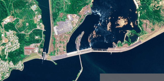
View Tucuruí Dam on Google Satellite Map
Google satellite maps allow you to see building details more clearly, including natural landscapes such as mountains, rivers, deserts, sea and man-made engineering buildings.
If you are very interested in this engineering building, it is a good idea to click below Google Map icon. We will help you jump to the corresponding location of this building or engineering on Google satellite map.


