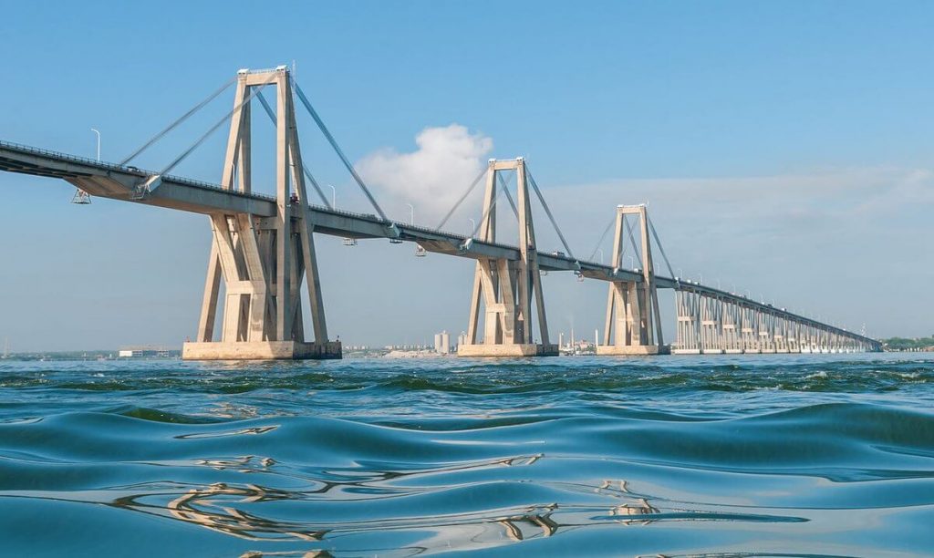
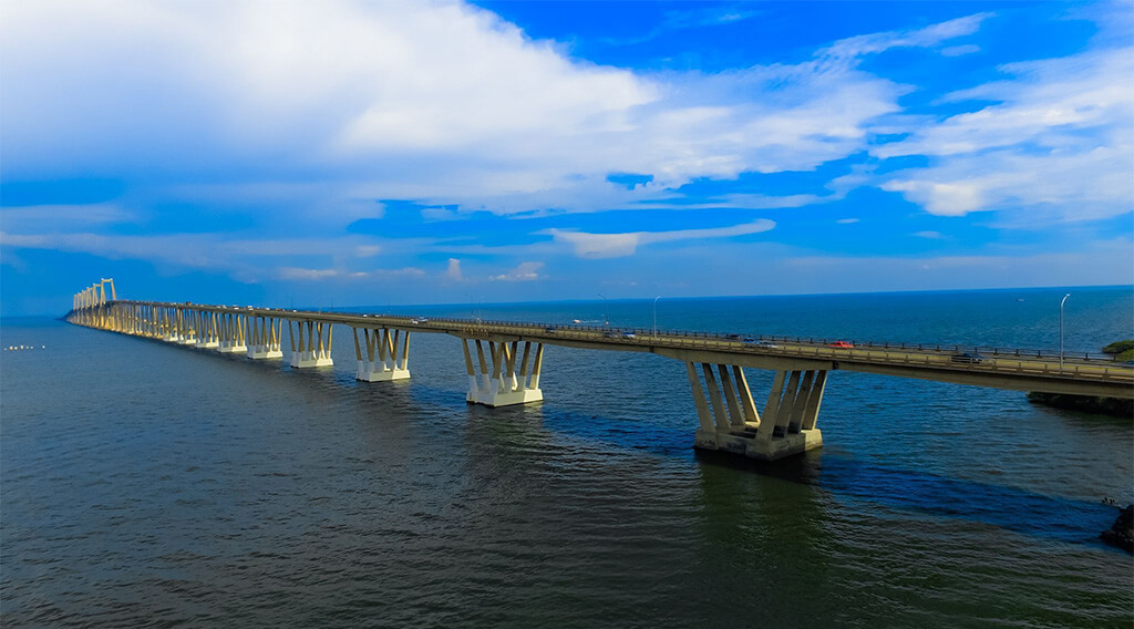
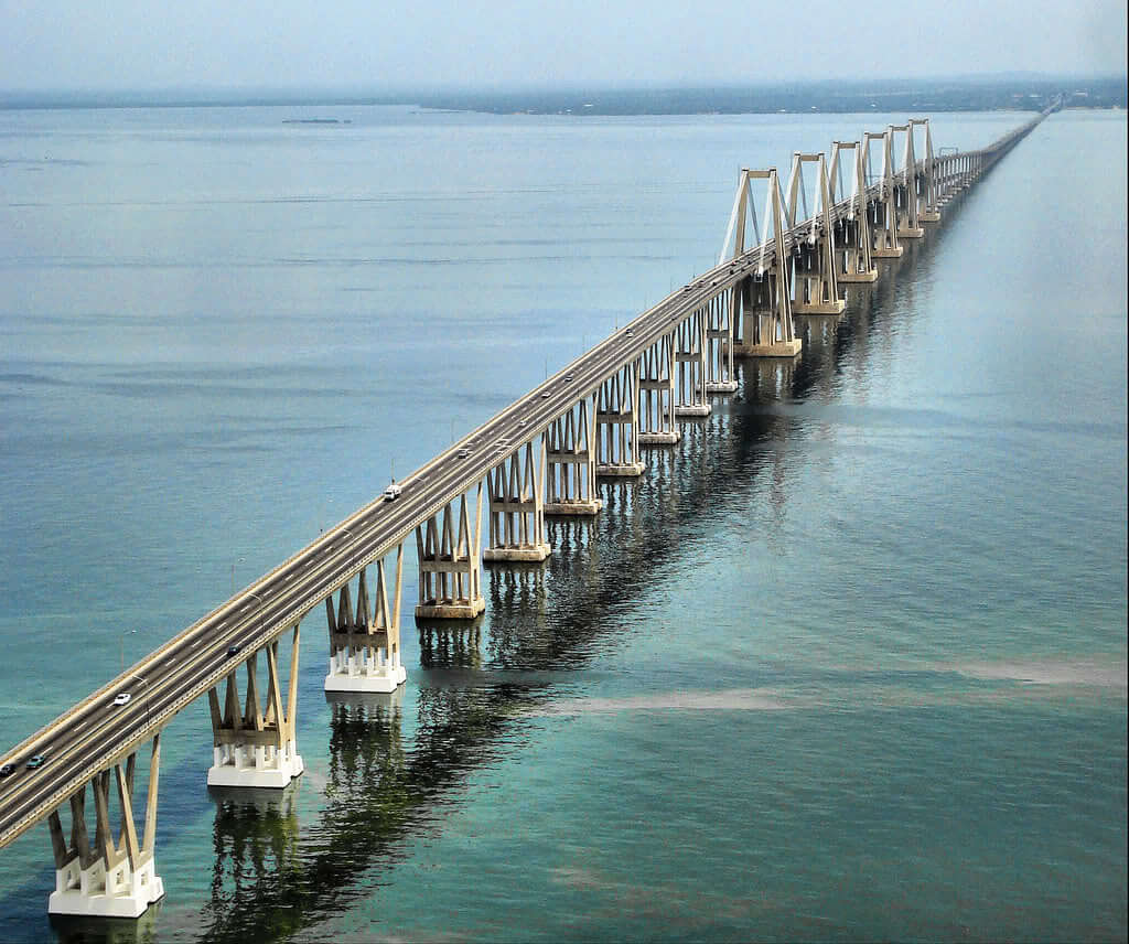
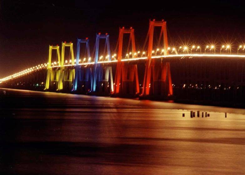
General Rafael Urdaneta Bridge (Spanish: Puente General Rafael Urdaneta) is located at the entrance of Lake Maracaibo in the northwest of Venezuela. It crosses the Tablazo Strait and connects Santa Rita and Maracaibo. It is also called Maracaibo Bridge.
The length of the bridge is 5.4 mi (8.7 km) and the Length over water is 5.3 mi (8.6 km). The height of the bridge tower is 284 ft (86.6 m).
The bridge was built in 1958 and opened for use on August 24, 1962. It cost 350 million bolívar soberano (US $100 million). It is named after the Venezuelan independent hero General Rafael Urdaneta.

History
1957: The bridge design competition started, and the bridge design of Italian engineer Riccardo Morandi won.
1958: Construction of the bridge began.
August 24, 1962: The General Rafael Urdaneta Bridge opened. The then Venezuelan President Romulo Betancourt attended the opening ceremony.

Building technical parameters
The General Rafael Urdaneta Bridge is 5.4 mi (8.7 km) long and the Length over water is 5.3 mi (8.6 km ). The height of the bridge tower is 284 ft (86.6 m).
It is made of reinforced concrete and prestressed concrete, and the five main spans are 771 ft (235 m). Each span is supported by 6 pillars.

The bridge deck width is 57 ft (17.4 m), has 4 lanes, and the bridge deck height is 164 ft (50 m). Its construction lasted 5 years and cost 350 million bolívar soberano (US $100 million).
Lake Maracaibo is the largest lake in Zulia State, Venezuela, with a total area of 13,000 square kilometers. The bridge connects the narrowest northern part of the lake, making the 2-hour ferry journey between Santa Rita and Maracaibo a thing of the past.

General Rafael Urdaneta Bridge Data
- Country
- Venezuela
- Region
- South America
- Status
- In use
- Official name
- Puente General Rafael Urdaneta
- Other name
- Maracaibo Bridge
- Location
- Maracaibo, Zulia, Venezuela
- Designer
- Riccardo Morandi
- Cost
- 350 million bolívar soberano (US $100 million )
- Began
- 1958
- Opened
- Aug-24, 1962
- Total length
- 5.4 mi ( 8.7 km )
- main bridge length
- 5.4 mi ( 8.7 km )
- Tall (tower)
- 284 ft ( 86.6 m )
- Length over water
- 5.3 mi ( 8.6 km )
- Bridge section length
- 5.4 mi ( 8.7 km )
- Width
- 57 ft ( 17.4 m )
- Deck height
- 164 ft ( 50 m )
- Longest span
- 771 ft ( 235 m )
- Road scale
- 4 lanes
- Crosses
- Tablazo Strait
View General Rafael Urdaneta Bridge on Google Satellite Map
Google satellite maps allow you to see building details more clearly, including natural landscapes such as mountains, rivers, deserts, sea and man-made engineering buildings.
If you are very interested in this engineering building, it is a good idea to click below Google Map icon. We will help you jump to the corresponding location of this building or engineering on Google satellite map.


