Louisiana Highway 1 Bridge is located in Louisiana in the southern United States. Because it connects the bay area in southern Louisiana, it is also called the Gateway to the Gulf Expressway. It cost 320 million U.S. dollars.
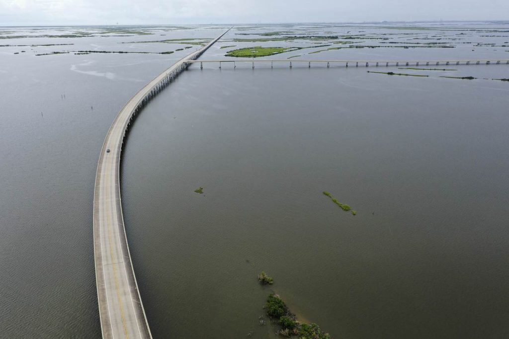
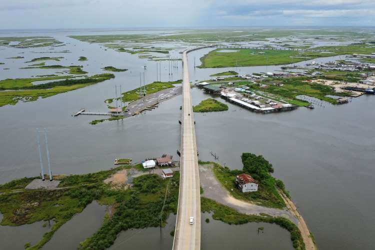
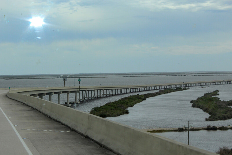
The Louisiana Highway 1 Bridge is a concrete trestle bridge connecting Leeville and Fourchon Port, with a total length of 8.3 mi (13.3 km ), crossing Bayou Lafourche and marsh. It is part of The LA 1 Improvement Project.
The LA 1 Improvement Project will connect 4 regions, namely Golden Meadow, Leeville, Port Fourchon and Grand Isle. The total length is over 24.9 mi (40 km).
History
Louisiana Highway 1 Bridge and LA 3090 are currently the only access roads to the Port of Fourchon.
- In July 2009, the first phase of Fourchon was completed, including Tomey Doucet Leeville toll bridge and toll booths, with a total length of 3.6 mi (5.8 km).
- In 2011, the bridge between Leeville and Fourchon was opened, with a total length of about 5 mi (8.1 km).
Building technical parameters
The Louisiana Highway 1 Bridge is 8.3 mi (13.3 km) long and is a 2-lane concrete trestle bridge.
Tomey Doucet Leeville toll bridge
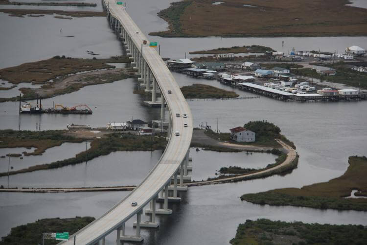
The Tomey Doucet Leeville toll bridge is part of the Louisiana Highway 1 Bridge. It has a total length of 1.9 mi (3.1 km), a longest span of 290 ft (88.4 m), and a bridge deck width of 39 ft (12 m). This bridge is also called LA-1 Tollway and Leeville High Bridge.
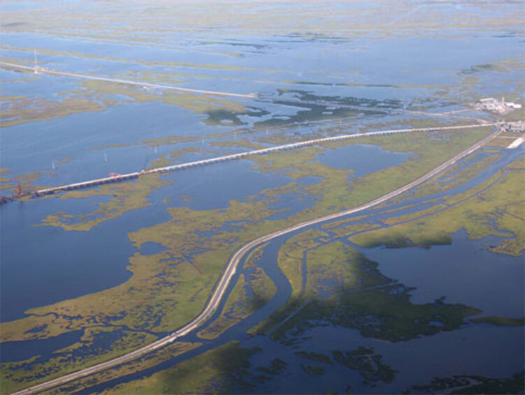
It is a bridge composed of steel truss beams and composite concrete. Across Bayou Lafourche and wetlands. This bridge was opened in July 2009 and replaced the old Leeville Vertical-Lift Bridge completed in 1969.
This bridge is the only way to get to Grand Isle and costs US $3.
Louisiana Highway 1 Bridge Data
- Country
- America
- Region
- North America
- Status
- In use
- Other name
- Gateway to the Gulf Expressway, Leeville High Bridge, Leeville Toll Bridge, LA-1 Tollway
- Location
- Lafourche Parish, Louisiana, USA
- Operator
- Louisiana Department of Transportation and Development (LaDOTD)
- Cost
- US $320 million
- Opened
- July 2009
- Total length
- 8.3 mi ( 13.3 km )
- main channel bridge Length
- 1.9 mi ( 3.1 km )
- Width
- 39 ft ( 12 m )
- Longest span
- 290 ft ( 88.4 m )
- Design type
- concrete trestle bridge
- Road scale
- 2 lanes
- Crosses
- Bayou Lafourche and marsh
View Louisiana Highway 1 Bridge on Google Satellite Map
Google satellite maps allow you to see building details more clearly, including natural landscapes such as mountains, rivers, deserts, sea and man-made engineering buildings.
If you are very interested in this engineering building, it is a good idea to click below Google Map icon. We will help you jump to the corresponding location of this building or engineering on Google satellite map.


