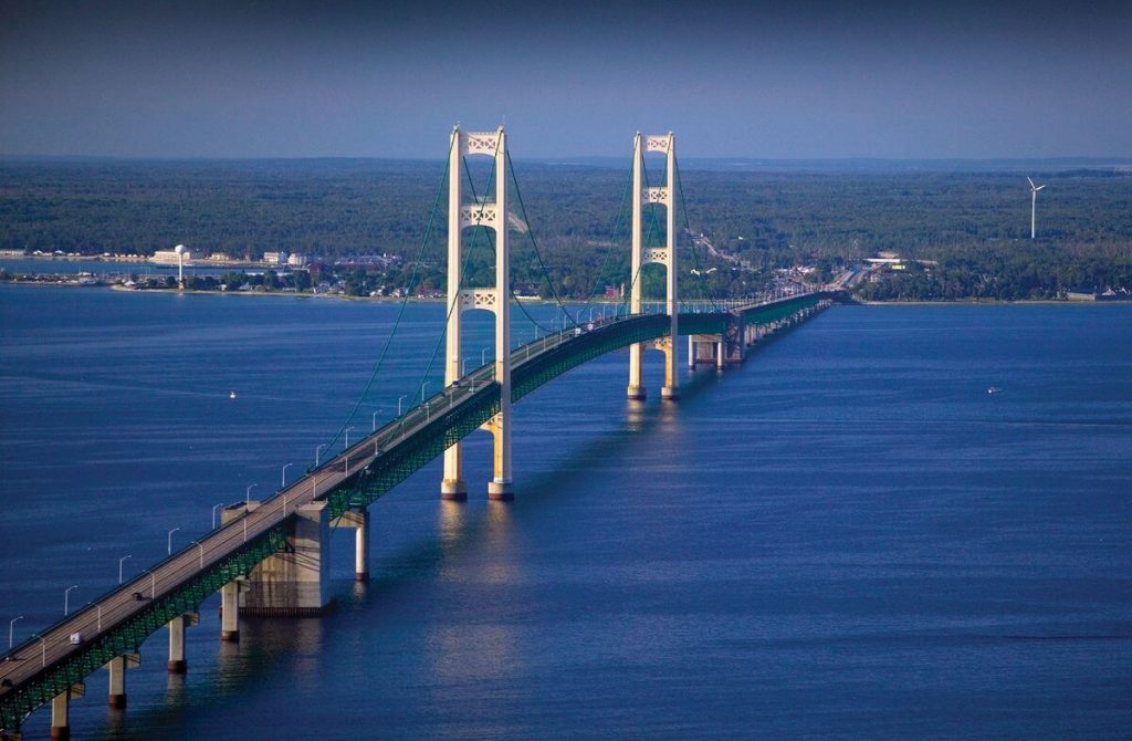
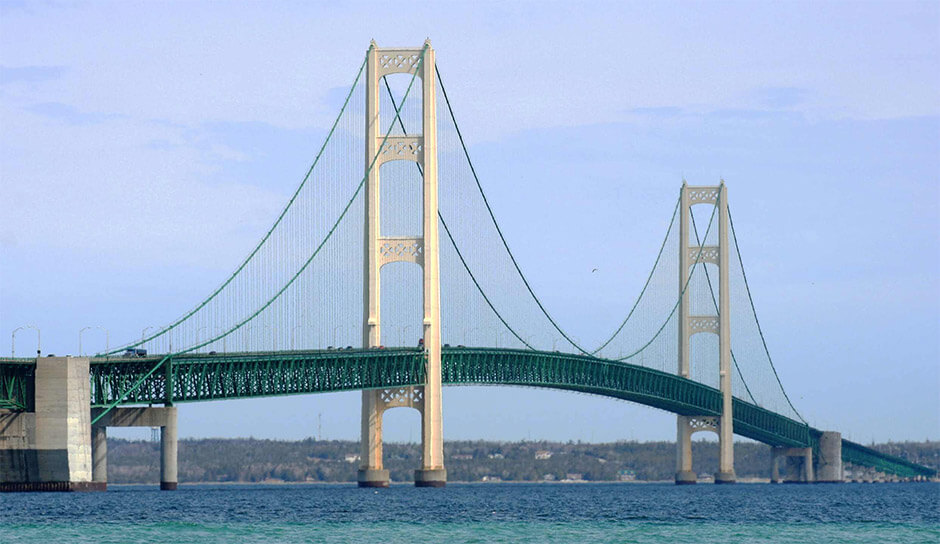
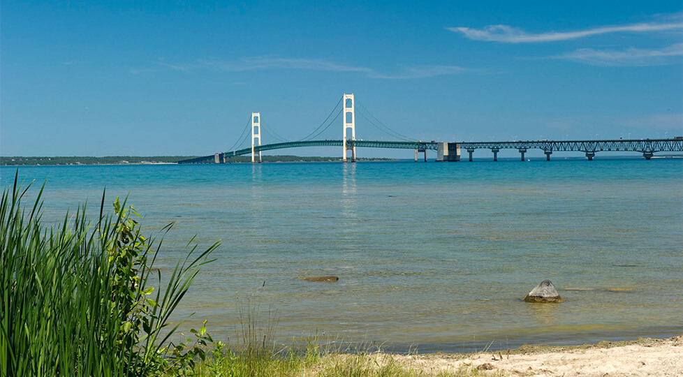
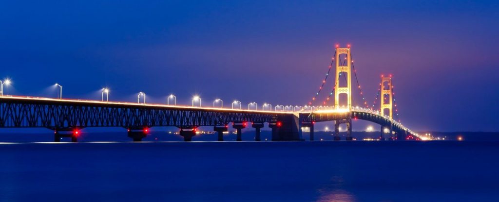
Mackinac Bridge is located in Michigan, USA. It crosses the Mackinac Straits between Lake Michigan and Lake Huron, connecting St. Ignace and Mackinaw City.
The length of the bridge is 5 mi (8 km ), and the section across Mackinac Straits is 4.1 mi (6.6 km) long. It was built in 1939 and opened to traffic in 1957. It cost US $100 million in 1940.

History
Origin
- 1923: The state of Michigan launched a car ferry service between Mackinaw City and St. Ignace, indicating that there is a huge traffic demand here.
- 1884: A local newspaper published an imaginary article “The Proposed Bridge Across the Strait of Mackinac”.

Planning
- 1923: The State Assembly ordered the State Highway Administration to establish ferry services on both sides of the strait. Every year, more and more people use ferries to cross the strait, and as in the past, the movement to build bridges is increasing.
- 1928: Ferry services have become expensive, and Michigan Governor Fred W. Green ordered a study of the feasibility of building a bridge across the strait.
- 1934: The Michigan State Legislature established the Mackinac Strait Bridge Authority to explore possible ways to build and fund the proposed bridge.
- 1936 to 1940: The administration chose a route for the bridge based on preliminary research. The drilling is to conduct a detailed geological study of the route.
- April 30, 1952: The national legislature approved the sale of US$85 million in bonds for bridge construction.
- January 1953: David B. Steinman was appointed as a design engineer.

Construction process
- May 7, 1954: Construction of Mackinac Bridge began.
- November 1, 1957: The bridge was opened to traffic, and the ferry service was suspended that day.
- June 25, 1958: Mackinac Bridge was officially put into use.
- November 1, 2007: Mackinac Bridge Authority held a celebration to celebrate the 50th anniversary of the bridge’s opening.

Building technical parameters
The Mackinac Bridge is 5 mi (8 km) long, and the section across Mackinac Straits is 4.1 mi (6.6 km) long.
The height of the bridge tower is 551 ft (168 m) and the height of the bridge deck is 200 ft (61 m). The bridge deck is 69 ft (20.9 m) wide and the 4-lane is 52 ft (16 m) wide. The longest span reaches 3799 ft (1158 m). It was a veritable super project at that time.

Mackinac Bridge Data
- Country
- America
- Region
- North America
- Status
- In use
- Other name
- Mighty Mac or Big Mac
- Location
- St. Ignace and Mackinaw City, Michigan, USA
- Designer
- David B. Steinman
- Official website
- mackinacbridge.org
- Operator
- Mackinac Bridge Authority
- Cost
- US $100 million in 1940
- Began
- May-07, 1954
- Opened
- Nov-01, 1957
- Total length
- 5 mi ( 8 km )
- Tall (tower)
- 551 ft ( 168 m )
- Length over water
- 4.1 mi ( 6.6 km )
- Width
- 69 ft ( 20.9 m )
- Longest span
- 3799 ft ( 1158 m )
- Deck elevation
- 200 ft ( 61 m )
- Design type
- Suspension bridge
- Road scale
- 4 lanes
- Crosses
- Straits of Mackinac
View Mackinac Bridge on Google Satellite Map
Google satellite maps allow you to see building details more clearly, including natural landscapes such as mountains, rivers, deserts, sea and man-made engineering buildings.
If you are very interested in this engineering building, it is a good idea to click below Google Map icon. We will help you jump to the corresponding location of this building or engineering on Google satellite map.


