6th October Bridge ( Arabic: كوبري 6 أكتوبر ) was located on Gezira Island in Cairo, Egypt. The island was in the middle of the Nile and divided the river into two parts. The bridge crossed the small island and these 2 parts of the Nile. It is the longest bridge in Africa, connecting To Cairo City and Cairo International Airport. The original name of the 6th October Bridge was Ramses Bridge.
October 6th bridge line (including road) was 12.7 mi (20.5 km) long, and its Bridge section was a 7.1 mi (11.4 km) Concrete Girder Bridge.
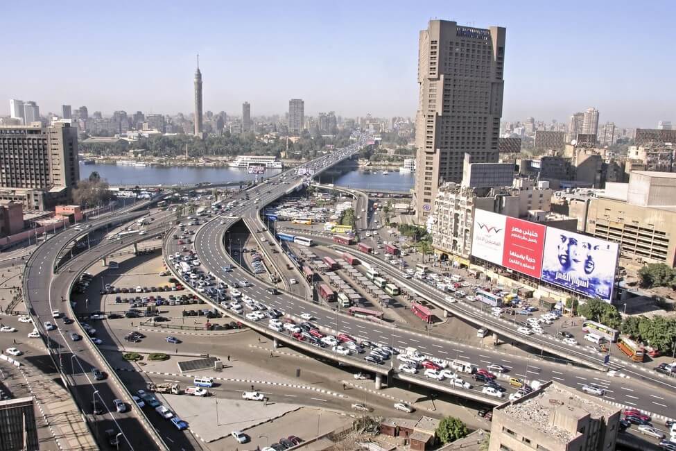
Construction of the bridge began in 1969, but it was not opened until 1996. The construction period was as long as 26 years due to obstructions such as war and religion. It cost more than EGP 200 million (US $20 million in 1996 ).
The October 6th bridge is a national project in Egypt, similar to the Aswan High Dam.
There are two other bridges on Gezira Island, the May 15 bridge in the north and the shorter Qasr al-Nil Bridge in the south. 6th October is the bridge in the middle.
History
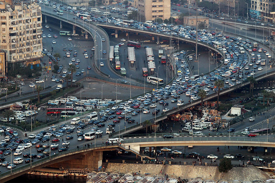
In the 1960s, in the aging metropolis on both sides of the Nile, the surprising increase in the number of urban vehicles paralyzed the streets. The metropolis has ushered in an unprecedented period of traffic congestion.
The Egyptian President Gamal Abdel-Nasser issued a presidential decree to start the construction of the bridge.
- 1969: Construction of Ramses Bridge began.
- 1972: The first phase of the bridge is completed, which connects El Gezira and Agouza in Cairo.
- October 6, 1973: October War began between Egypt and Israel. Construction of the bridge was interrupted. Egypt won the war so the bridge was named as October 6.

The war affected Egypt’s economic situation, and 6th October Bridge project was completely suspended for 10 years.
- 1978: In order to make way for the October 6th bridge, President of Egypt Anwar Al-Sadat ordered the demolition of the original All-Saints Cathedral and the construction of the new All-Saints Cathedral in Zamalek.
Because of the negative influence of religion and other factors, the construction progress of the bridge has been blocked.
- 1996: The bridge was put into operation with a construction period of nearly 30 years.
- 2005: Phase 9 of the bridge was completed. The final length of the bridge line is 12.7 mi (20.5 km ).
Building technical parameters
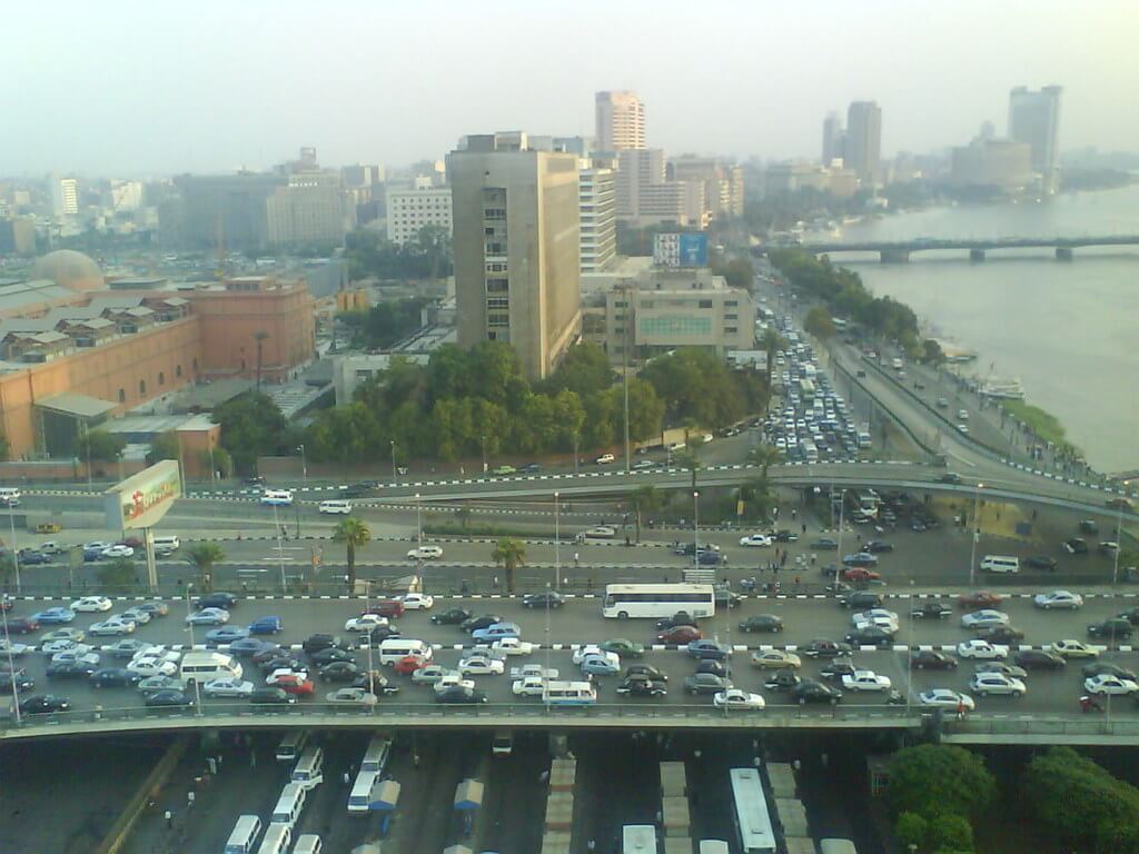
6th October Bridge line (including road) was 12.7 mi (20.5 km) long, and its Bridge section was a 7.1 mi (11.4 km) Concrete Girder Bridge. The main bridge on the Nile is 5020 ft (1530 m) long.
The bridge has a total of 23 overpass exits. It was constructed in 9 phases, and the last phase of construction was completed in 2005.
Congested passenger flow
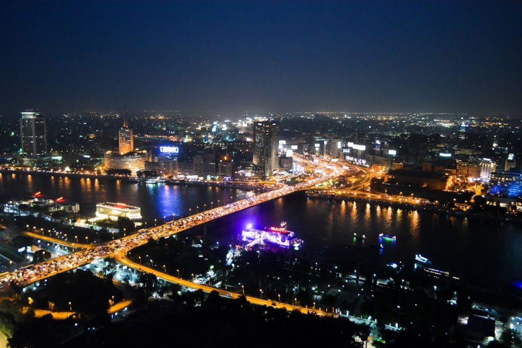
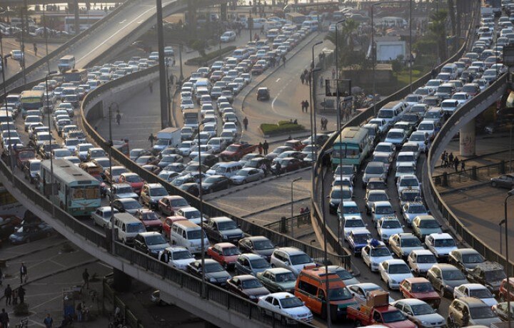
6th October Bridge was one of the most important bridges in the Egyptian capital. At the beginning of its completion, the bridge’s passenger flow was 500,000 people per day. In 2016, about 1 million people used the bridge every day, resulting in very congested traffic. The journey from one end to the other can take up to 45 minutes.
6th October Bridge Data
- Country
- Egypt
- Region
- North Africa
- Status
- In use
- Official name
- كوبري 6 أكتوبر
- Other name
- October Bridge, Ramses Bridge
- Location
- Cairo, Egypt
- Owner
- Egyptian state
- Contractor
- Arab Contractors
- Designer
- BowsAreUs
- Operator
- General Authority For Roads, Bridges & Land Transport
- Cost
- more than EGP 200 million ( US $20 million in 1970 )
- Began
- 1969
- Opened
- 1996
- Total length
- 12.7 mi ( 20.5 km )
- main bridge length
- 5020 ft ( 1530 m )
- Bridge section length
- 7.1 mi ( 11.4 km )
- Design type
- Concrete Girder Bridge
View 6th October Bridge on Google Satellite Map
Google satellite maps allow you to see building details more clearly, including natural landscapes such as mountains, rivers, deserts, sea and man-made engineering buildings.
If you are very interested in this engineering building, it is a good idea to click below Google Map icon. We will help you jump to the corresponding location of this building or engineering on Google satellite map.


