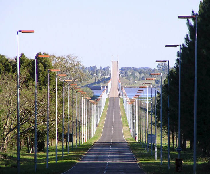
Libertador General San Martín Bridge (Spanish: Puente Libertador General San Martín) is located between Argentina and Uruguay. It crosses the Uruguay River and connects Puerto Unzué and Fray Bentos. This transnational bridge is one of the longest bridges in South America.
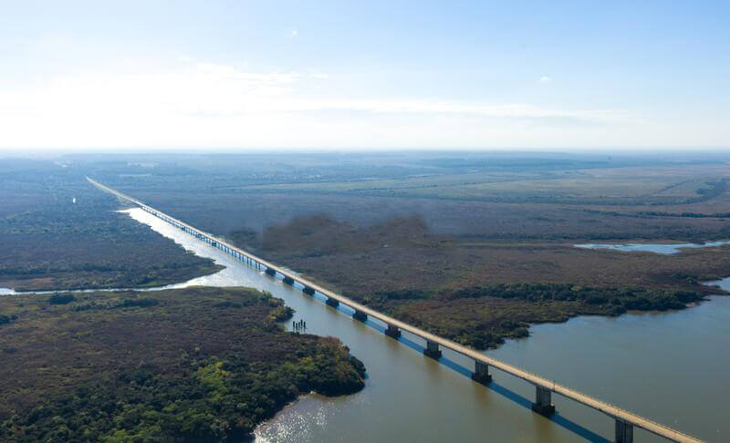
The length of the bridge is 3.3 mi (5.4 km ), the Bridge section length is 2.1 mi (3.4 km ), and the Length over water is 2 mi (3.1 km ). It is a Cantilever bridge and cost More than $21.7 million.
Construction of the bridge began in 1972 and opened on September 16, 1976. The bridge is named after José de San Martín, who was an important figure in the struggle for independence of Argentina, Chile and Peru.
History
November 23, 1960: A technical committee (COMPAU) established by Argentina and Uruguay began planning for the bridge.
February 7, 1961: After research, the bridge site was selected between Puerto Unzué, Argentina and Fray Bentos, Uruguay.
In 1967: Argentina and Uruguay signed a bridge approval agreement.
1972: Construction of the bridge began, and a construction contract was signed by the International Bridge Association COPUI, valued at US$21.7 million.
September 16, 1976: The opening of the bridge. It is named Libertador General San Martín Bridge, and it is a toll bridge open to the public.
Building technical parameters
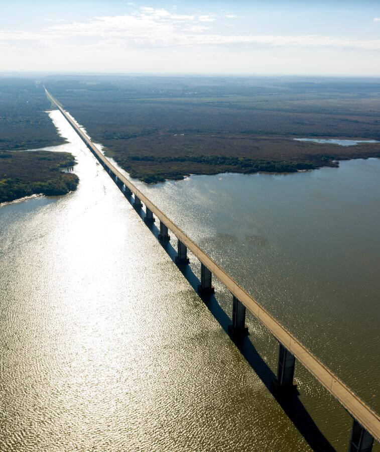
The length of the bridge is 3.3 mi (5.4 km), the length of the main bridge is 2.1 mi (3.4 km), and the Length over water is 2 mi (3.1 km).
Its length in Argentina is 2.6 mi (4.2 km) and in Uruguay is 3,757 ft (1,145 m). It is a Cantilever bridge and cost More than $21.7 million.
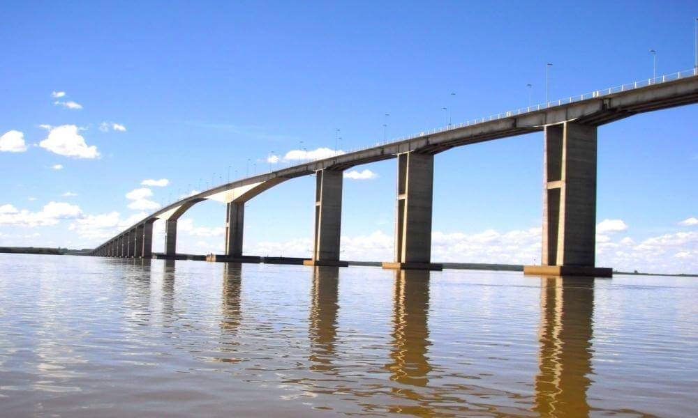
The main span of the bridge: 722 ft (220 m).
The deck height of the main navigation bridge is dadao degrees: 148 ft (45 m).
Bridge deck width: 8.30 m for the road and 1.50 m for the two paths. A total of 36 ft (11 m).
The bridge is mainly made of prestressed reinforced concrete, and it carries cables and pipes.
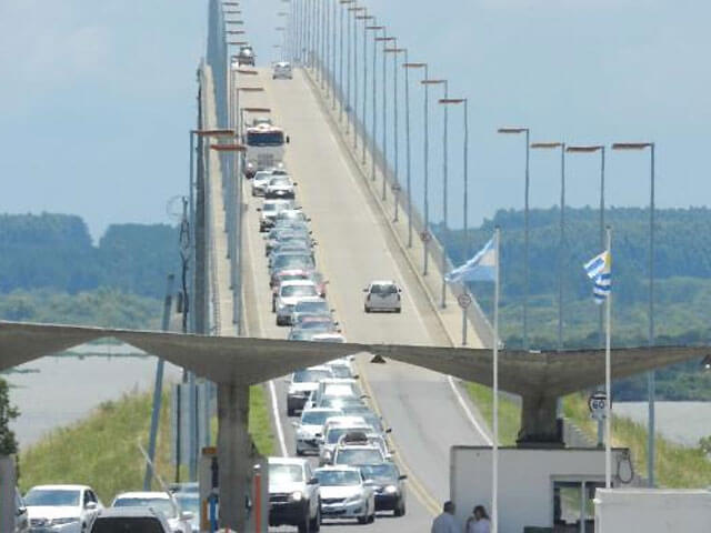
Libertador General San Martín Bridge Data
- Country
- Argentina/Uruguay
- Region
- South America
- Status
- In use
- Official name
- Puente Libertador General San Martín
- Other name
- Puente Gral. San Martin
- Location
- Between Puerto Unzué, Entre Ríos, Argentina and Fray Bentos, Uruguay
- Operator
- Comisión Administradora del Río Uruguay
- Cost
- More than $21.7 million
- Began
- 1972
- Opened
- Sep-16, 1976
- Total length
- 3.3 mi ( 5.4 km )
- main bridge length
- 2.1 mi ( 3.4 km )
- Length over water
- 2 mi ( 3.1 km )
- Bridge section length
- 2.1 mi ( 3.4 km )
- Width
- 36 ft ( 11 m )
- Longest span
- 722 ft ( 220 m )
- Deck elevation
- 148 ft ( 45 m )
- Design type
- Cantilever bridge
- Crosses
- Uruguay River
View Libertador General San Martín Bridge on Google Satellite Map
Google satellite maps allow you to see building details more clearly, including natural landscapes such as mountains, rivers, deserts, sea and man-made engineering buildings.
If you are very interested in this engineering building, it is a good idea to click below Google Map icon. We will help you jump to the corresponding location of this building or engineering on Google satellite map.


