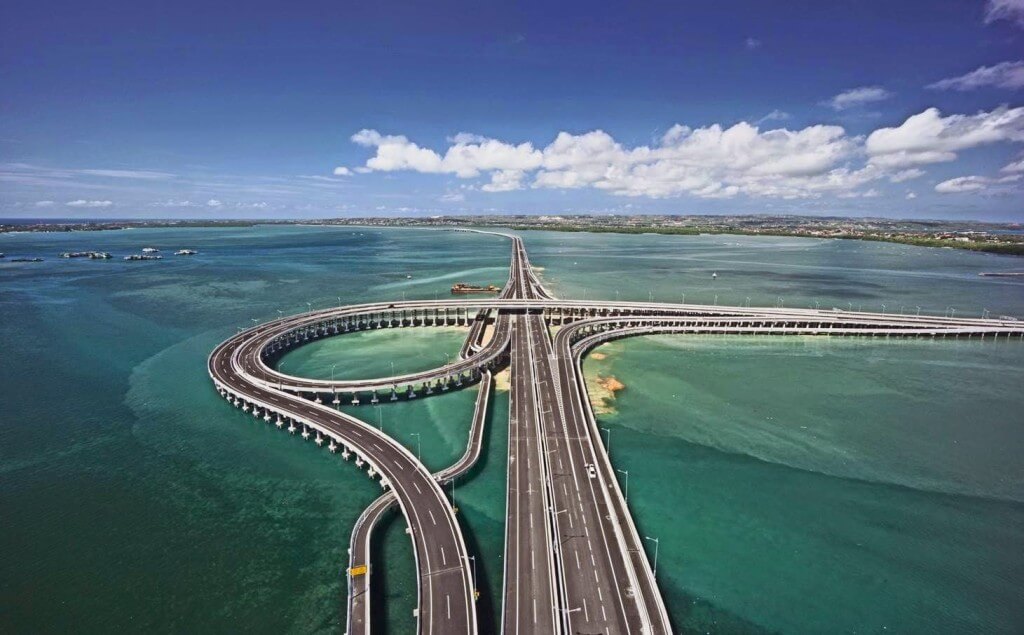
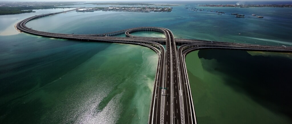
Bali Mandara Toll Road (Indonesian: Jalan Tol Bali Mandara) is located in Bali, a famous tourist area in Indonesia. It is a Cross-sea bridge which crosses the Benoa Gulf and connects the city of Denpasar and South Kuta, Badung Regency, Nusa Dua and Ngurah Rai International Airport.
Bali Mandara Toll Road has a total length of 7.9 mi (12.7 km). Construction began in March 2012 and opened on September 23, 2013. It cost IDR 2.4 trillion (USD 220 million).
History
Birth background of the bridge
In the 2010s, with the development of tourism in Bali, Indonesia, Southeast Asia, the number of tourists visiting Bali was increasing every year. In order to alleviate the traffic pressure on Ngurah Rai By Pass Road, a new channel needs to be built at sea (the Ngurah Rai By Pass Road cannot be widened because of the airport runway).
Construction process
- In March 2012, construction of the cross-sea bridge began.
- In May 2013, the construction of the bridge was completed with a construction period of 1 year and 2 months.
- On September 23, 2013, the bridge was named Bali Mandara Toll Road, and it was officially opened by Indonesian President Susilo Bambang Yudhoyono.
- On October 5-7, 2013, at the APEC summit in Bali, the toll road was passed by many national leaders.
Building information
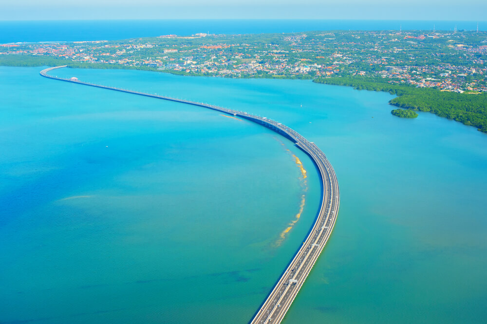
Bali is a famous tourist destination in Southeast Asia, famous for its tropical islands, iconic rice fields, beaches and coral reefs. Bali Mandara Toll Road was built near Bali and became part of the new landscape.
Bali Mandara Toll Road has a total length of 7.9 mi (12.7 km) and a construction period of 14 months. For rapid construction, many mangrove fields have been pruned, and 16.000 mangroves have been replanted after the completion of the construction to supplement the damaged trees during road construction. .
The bridge has 8 lanes, 6 lanes for cars and 2 lanes for motorcycle. Due to strong winds, the speed limit for motorcycle lanes is 40 km/h. The bridge cost Rp 2.48 Trillion (USD 220 million).
The length of Bali Mandara Toll Road is very similar to Penang Bridge in Malaysia (13.5 km) or Union Bridge in Canada (12.9 km).
Charges
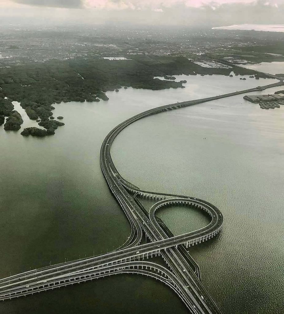
The charge for motorcycles is IDR 4,500 ($0.3 USD), and the charge for medium-sized vehicles (such as city cars, SUVs, jeeps, or minibuses) is IDR 11,000 ($0.75 USD). There are also more charges for large vehicles.
Safety measures
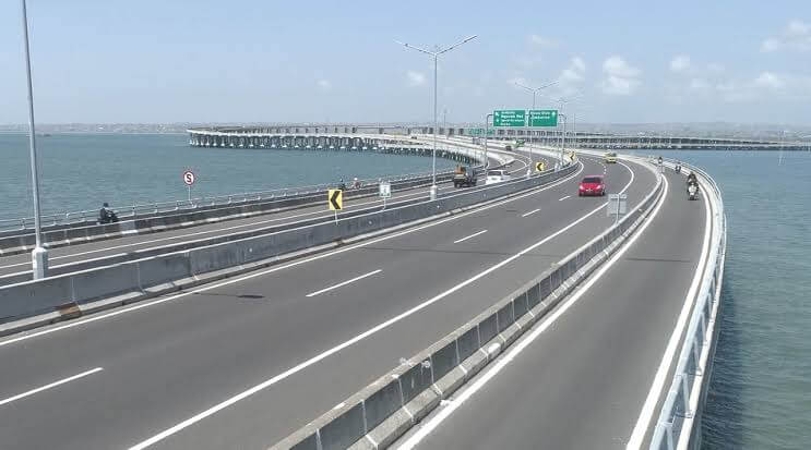
Before entering the toll road, you can see the anemometer. High winds pose a great risk to vehicles built on toll roads because they are built on the ocean.
If the wind gust exceeds 40 km/h, it will temporarily close the toll road. CCTV monitors around the clock.
Made in Indonesia
The construction funds of Bali Mandara Toll Road all come from Indonesian local companies, without foreign investment. The expenditure of IDR 2.4 trillion (USD 220 million) is borne by the Indonesian state-owned bank and Jasa Marga.
In addition, the materials and technologies used in construction are all manufactured in Indonesia.
Bali Mandara Toll Road Data
- Country
- Indonesia
- Region
- Southeast Asia
- Status
- In use
- Official name
- Bali Mandara Toll Road
- Other name
- Nusa Dua-Ngurah Rai-Benoa Toll Road
- Location
- Bali, Indonesia
- Operator
- PT Jasamarga Bali Tol
- Cost
- Rp 2.48 Trillion (USD 220 million)
- Began
- Mar-01, 2012
- Construction end
- Oct-01, 2013
- Opened
- Sep-23, 2013
- Total length
- 7.9 mi ( 12.7 km )
- Road scale
- 6 lanes for cars and 2 lanes for motorcycle
- Crosses
- Benoa Gulf
View Bali Mandara Toll Road on Google Satellite Map
Google satellite maps allow you to see building details more clearly, including natural landscapes such as mountains, rivers, deserts, sea and man-made engineering buildings.
If you are very interested in this engineering building, it is a good idea to click below Google Map icon. We will help you jump to the corresponding location of this building or engineering on Google satellite map.


How are the scores determined. Do you have more information on that analysis?