Penang Bridge ( Malay:Jambatan Pulau Pinang ) is located in Penang Strait, Malaysia. It is a cross-sea bridge connecting Penang Island and Perai in mainland Malaysia.
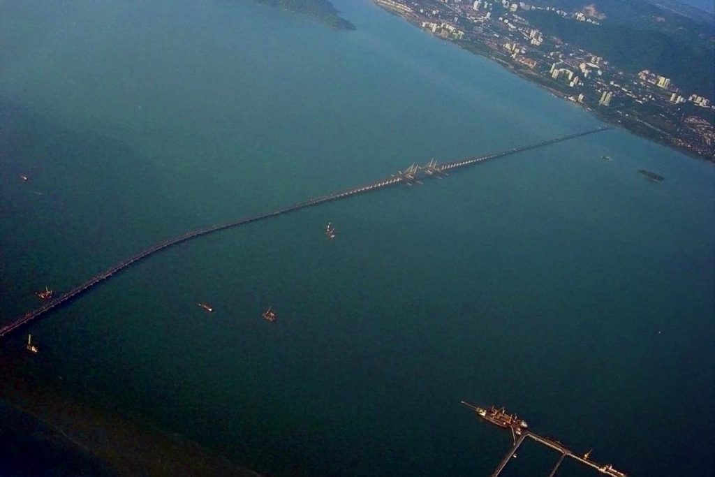
Penang Bridge is 8.4 mi (13.5 km) long and Length over water is 5.2 mi (8.4 km ). It is the bridge part of the 6-lane toll highway E36. It cost about 800 million MYR (US $193 million ).
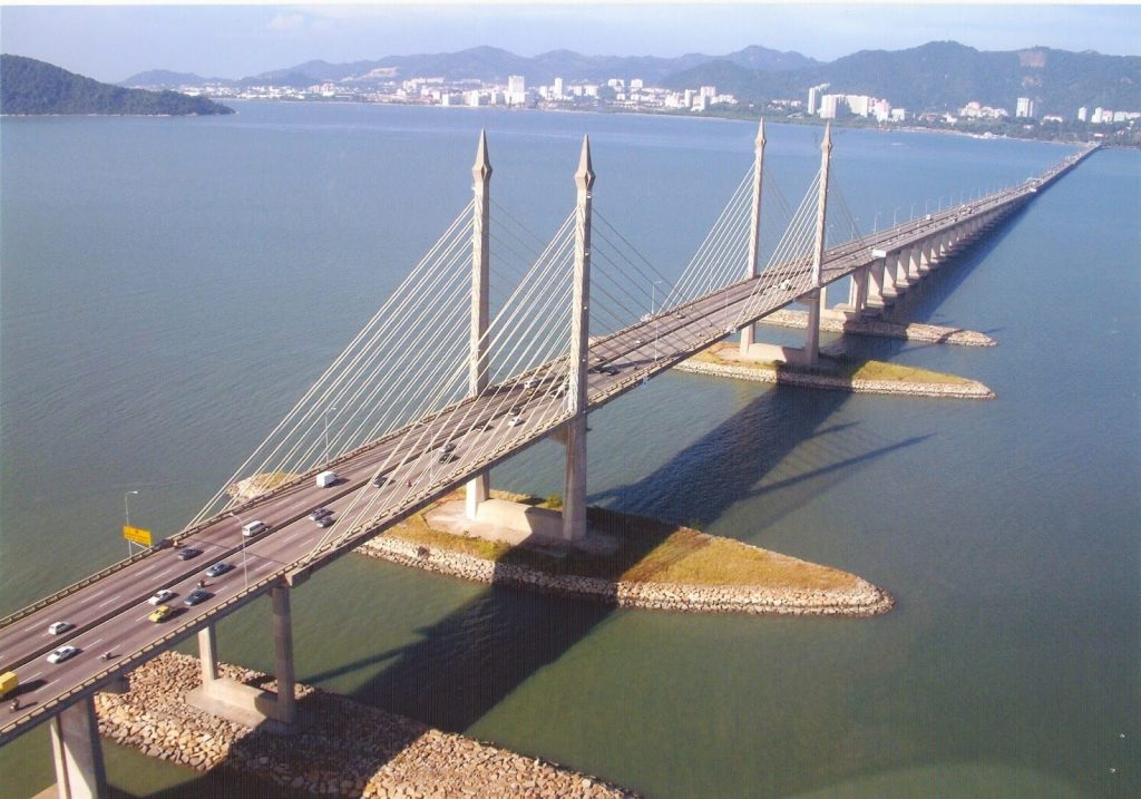
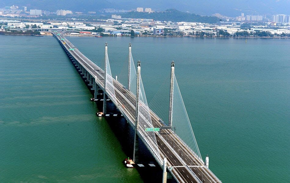
It started construction in 1982 and officially opened on August 3, 1985. Before 2014, it was the only passage between Penang Island and Malaysian peninsula. The Second Penang Bridge opened in 2014 is on its south side. It is a longer sea-crossing bridge with a length of 14.9 mi (24 km).
The bridge currently belongs to PLUS Expressways and is maintained and managed by PLUS Expressways.
History
Birth background
Before the construction of the bridge, the Penang Strait traffic was completely dependent on the state-owned Penang Ferry Service between George Town and Butterworth.
- In the 1950s, Penang’s economy developed rapidly and caused congestion at the ferry terminal. The entire traffic situation in Penang has also fallen into chaos.
- In the early 1970s, two people first proposed the idea of building a cross-sea bridge to connect Penang Island and mainland Malaysia. They are 2nd Prime Minister of Malaysia Tun Abdul Razak and 2nd Chief Minister of Penang Tun Dr Lim Chong Eu.
- At the end of 1971, the Malaysian government appointed Christiani & Nielsen of Denmark to conduct a bridge feasibility study.
- In 1976, Tun Hussein Onn, the third prime minister of Malaysia, officially planned the Penang Bridge project.
- In November 1976, Bhd. of Malaysia was appointed to be responsible for the design and supervision of the bridge.
- On July 23, 1981, Works Minister of Malaysia announced that the Penang Bridge would be constructed using the cable-stayed concrete girder of the Golden Gate Bridge. Which replaced the originally planned steel-tied arch of the Sydney Harbour Bridge.
Construction
- In 1982, the Penang Bridge officially began construction. Two artificial islands were built in South Channel for the construction of cable-stayed bridges.
- In 1985, the bridge was completed.
- On August 3, 1985, Mahathir Bin Mohamad, then the 4th Prime Minister of Malaysia, announced the official opening of the Penang Bridge.
- On September 14, 1985, the 4th Yang di-Pertua Negeri (Governor) of Penang, Tun Dr. Awang Hassan announced that the Penang Bridge was officially opened to traffic.
- In January 2008, the Penang Bridge began widening construction, expanding the entire bridge to 6 lanes. This project was completed at the end of 2009.
- On September 9, 2015, the Penang Bridge Toll Plaza used the Touch’n Go card and SmartTAG electronic toll collection method.
Building technical parameters
The total length of Penang Bridge is 8.4 mi (13.5 km ), and the Length over water is 5.2 mi (8.4 km ). The length of the bridge on Penang Island is 0.9 mi (1.5 km) and the length on the mainland is 2.2 mi (3.6 km). It cost about 800 million MYR (US $193 million ).
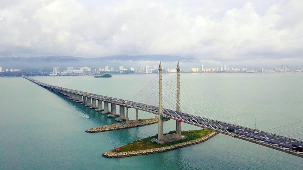
The longest span of the bridge is 738 ft (225 m), and the distance from the bridge deck to the water is 108 ft (33 m). It is supported by four 333 ft (101.5 m) pylons.
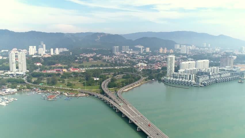
The bridge was jointly constructed by Hyundai Engineering and Construction Company (Korea) Ltd of South Korea and United Engineers Malaysia Berhad of the United States.
When the bridge was first built, only the central span of the bridge had 6 lanes, while the rest had 4 lanes. At the end of 2009, after the bridge widening project was completed, the bridge had 6 lanes and the speed limit was 80 km/h.
This bridge also carries a Tenaga Nasional 132kV power cable. It can transmit electricity to Penang Island.
The bridge is equipped with emergency SOS telephones, and the bridge is equipped with closed-circuit television monitoring and Variable Message Sign (VMS) to maintain the security of the bridge.
The only time it will be closed is the annual Penang Bridge International Marathon.
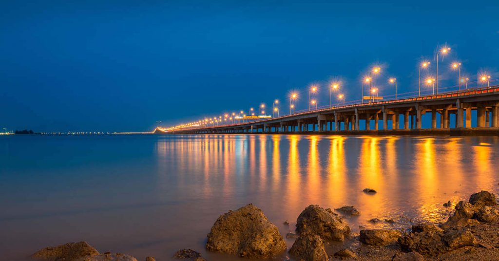
Penang Bridge Data
- Country
- Malaysia
- Region
- Southeast Asia
- Status
- In use
- Official name
- Jambatan Pulau Pinang
- Other name
- First Penang Bridge
- Location
- Penang Strait, Gelugor, Penang Island, Malaysia
- Contractor
- Hyundai Engineering and Construction Company (Korea) Ltd, United Engineers Malaysia Berhad
- Designer
- Primary Government of Malaysia Malaysian Highway Authority Secondary South Korea Hyundai Engineering and Construction Company (Korea) Ltd United Engineers Malaysia Berhad
- Operator
- PLUS Expressways
- Cost
- 800 million MYR ( US $193 million )
- Began
- 1982
- Construction end
- 1985
- Opened
- Aug-03, 1985
- Total length
- 8.4 mi ( 13.5 km )
- Tall (tower)
- 333 ft ( 101.5 m )
- Length over water
- 5.2 mi ( 8.4 km )
- Deck height
- 108 ft ( 33 m )
- Longest span
- 738 ft ( 225 m )
- Design type
- cable-stayed bridge, box girder bridge
- Design speed
- 80 km/h (50 mph)
- Road scale
- 6 lanes
- Crosses
- Penang Strait
View Penang Bridge on Google Satellite Map
Google satellite maps allow you to see building details more clearly, including natural landscapes such as mountains, rivers, deserts, sea and man-made engineering buildings.
If you are very interested in this engineering building, it is a good idea to click below Google Map icon. We will help you jump to the corresponding location of this building or engineering on Google satellite map.


