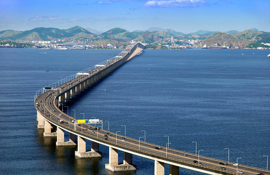
The Rio–Niterói Bridge ( Portuguese: Ponte Presidente Costa e Silva ) is located in the Guanabara Bay in Rio de Janeiro, Brazil. It connects Rio de Janeiro city and Niterói city. Its official name is President Costa e Silva Bridge.
The Rio–Niterói Bridge is 8.3 mi (13.3 km) long and is the longest water bridge in Brazil. The bridge began construction in January 1969 and opened on March 4, 1974. It was a prestressed concrete bridge that took 5 years. It cost Ncr$289 million in 1969.
When Rio-Niterói Bridge opened, it was the second longest water bridge in the world, second only to the Lake Pontchartrain Causeway in the United States. It was surpassed by Penang Bridge in Malaysia in 1985.
History
Origin
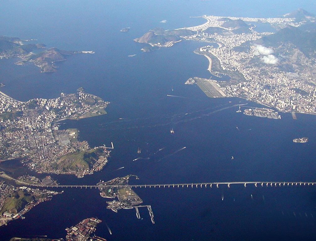
In 1875, the idea of building bridges and tunnels in Guanabara Bay appeared, because although there was only one Guanabara Bay between Rio de Janeiro city and Niterói city, it required a detour for approximately 74.6 mi (120 km ). Or choose to use a ferry across the bay. Guanabara Bay hinders the economic development and exchanges between the two cities.
Plan
- In 1963, the Brazilian government established a working group to study bridge construction projects.
- On December 29, 1965, the Executive Committee was established to implement the bridge construction plan.
- On August 23, 1968, Brazil’s then President Costa e Silva signed a decree authorizing the bridge project. The bridge project is in charge of Mario Andreazza, Brazilian Minister of Transport.
- On November 9, 1968, construction of the symbolic structure of the bridge began, and Queen Elizabeth II visited it. This was the first time the Queen of England visited Brazil.
- On November 14, 1968, the official presentation of the bridge project was held at the Faculty of Engineering of the Catholic University of Petropolis (UCP).
Construction process
- In January 1969, the bridge officially began construction.
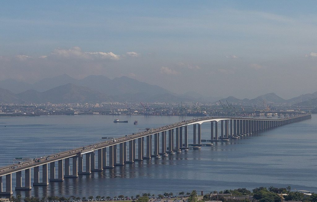
- In 1971, construction of the main body of the bridge began. Parts of the bridge have been transported across the Atlantic from the UK to Brazil.
- On March 4, 1974, the Rio-Niterói Bridge was officially opened, officially named President Costa e Silva Bridge, to commemorate the then dictatorship.
- In 2009, the bridge was converted from 6 lanes to 8 lanes, and each lane became narrower.
Building technical parameters
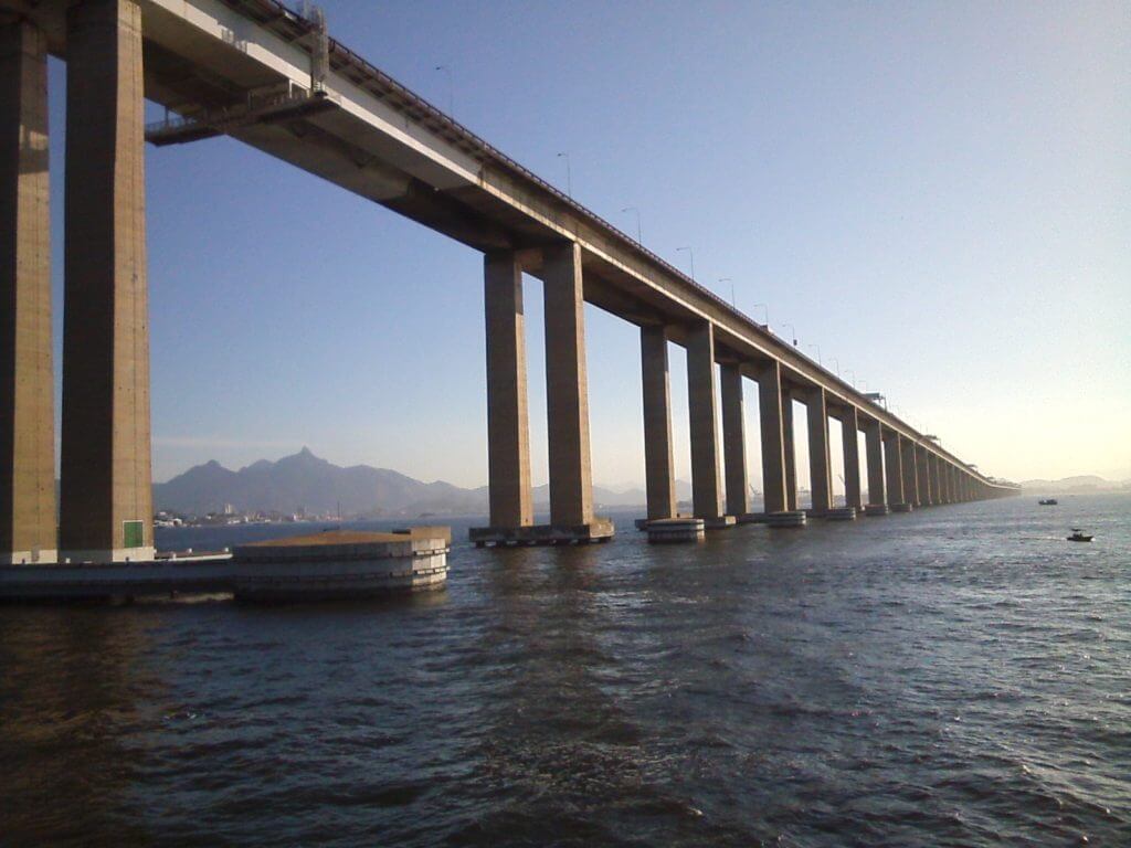
Rio-Niterói Bridge is 8.3 mi (13.3 km) long, Length over water is 5.5 mi (8.8 km), maximum span is 984 ft (300 m), and the highest point of the bridge is 230 ft (70 m) from the sea. It is part of the Brazilian Federal Highway BR-101.
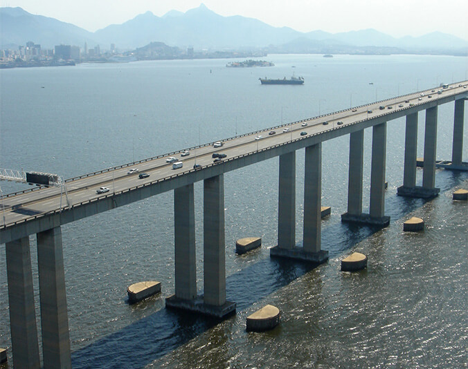
“Rio–Niterói Bridge” was initially a descriptive nickname, but soon became more famous than the official name. Few people now call it President Costa e Silva Bridge.
The Rio–Niterói Bridge was originally 6 lanes, but was converted to 8 lanes in 2009. The bridge is very busy, with an average of 4,800 trucks, 1,700 buses and 9,200 cars passing every day, for a total of more than 15,000 vehicles per day. Therefore, the bridge is very congested and traffic pressure is high.
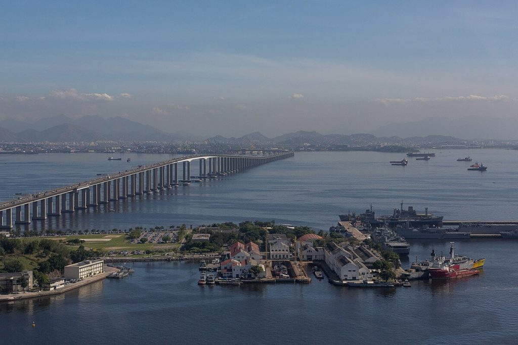
Rio–Niterói Bridge Data
- Country
- Brazil
- Region
- South America
- Status
- In use
- Official name
- President Costa e Silva Bridge
- Other name
- Rio–Niterói Bridge, Ponte Presidente Costa e Silva
- Location
- Rio de Janeiro and Niterói, Brazil
- Cost
- Ncr $289 million
- Began
- January, 1969
- Opened
- Mar-04, 1974
- Total length
- 8.3 mi ( 13.3 km )
- Length over water
- 5.5 mi ( 8.8 km )
- Width
- 89 ft ( 27 m )
- Longest span
- 984 ft ( 300 m )
- Design type
- Box girder bridge
- Road scale
- 8 lanes
- Crosses
- Guanabara Bay
View Rio–Niterói Bridge on Google Satellite Map
Google satellite maps allow you to see building details more clearly, including natural landscapes such as mountains, rivers, deserts, sea and man-made engineering buildings.
If you are very interested in this engineering building, it is a good idea to click below Google Map icon. We will help you jump to the corresponding location of this building or engineering on Google satellite map.


