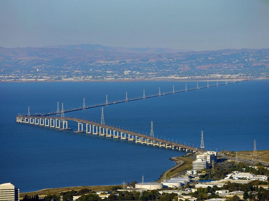
San Mateo Bridge is located in San Francisco Bay in California, United States. It connects the San Francisco Peninsula with the East Bay.
The western end of the bridge is in Foster City, a suburb on the eastern edge of San Mateo. The eastern end of the bridge is in Hayward. Therefore it is also called San Mateo–Hayward Bridge.
The bridge is 7 mi (11.3 km) long and it is the longest bridge in California. It cost US $70 million.
History
San Francisco Bay Toll Bridge
- In 1928, the San Francisco Bay Toll Bridge Company raised US$7.5 million and began to build the original San Mateo Bridge (San Francisco Bay Toll Bridge).
- On March 2, 1929, the San Francisco Bay Toll Bridge was completed and opened. It belongs to a private company and was the longest bridge in the world at that time.
- On September 12, 1951, California purchased the bridge for $6 million.
West high-rise (Hayward high-rise)
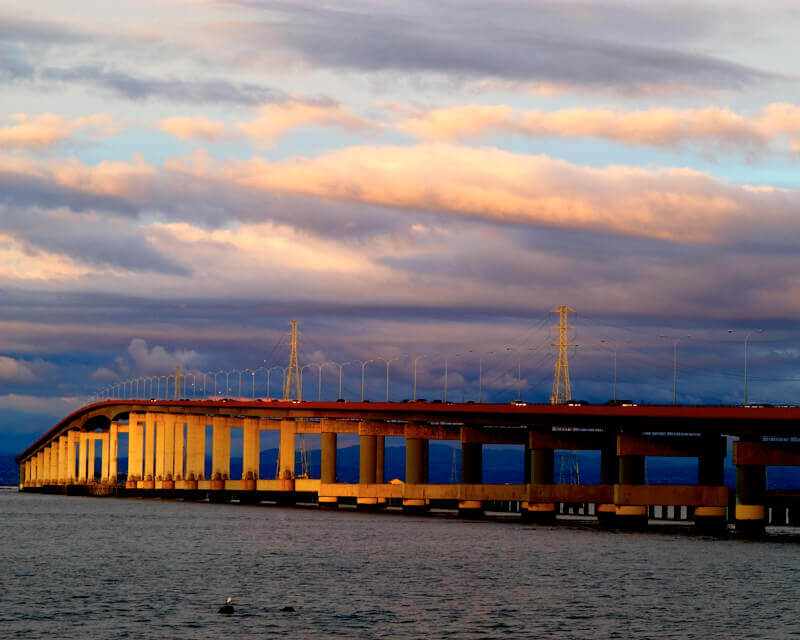
- In 1961, as the traffic pressure on the old bridge continued to increase, the state senator introduced a bill that decided to build a new fixed viaduct to replace the 1929 suspension bridge.
- On July 17, 1961, construction began on the eastern trestle of San Mateo Bridge.
- In January 1962, the single deck design for the high-rise west section of the bridge was finalized.
- In 1963, the eastern trestle bridge was completed.
- In October 1964, bidding for the high-rise span of the western part of the bridge began, and construction began in 1965.
- In 1966, the Marine Boss pontoon crane with a lifting capacity of 454 tons was put into use and the heavy box girder deck was installed.
- In 1967, San Mateo Bridge was opened for use at a cost of 70 million US dollars.
- In 1968, the bridge won two awards: the ASCE Outstanding Civil Engineering Achievement Award and the American Institute of Steel Construction Long-Span Bridge Award.
Upgrade and repair
Earthquake escalation
- After the Loma Prita earthquake in 1989, the bridge was closed but reopened on October 18, 1989.
- From 1997 to 2000, the bridge underwent large-scale earthquake reconstruction to prevent earthquake damage.
Expansion
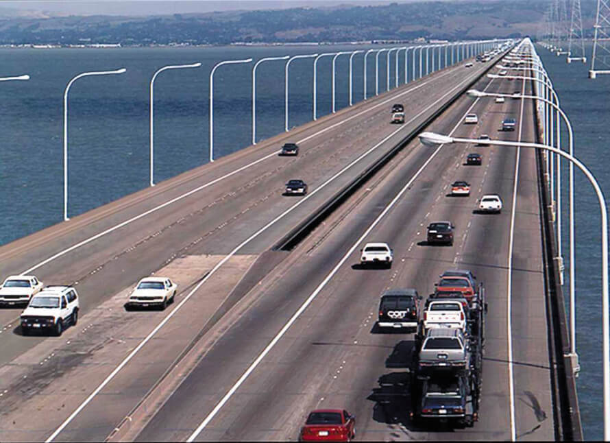
- In 2002, a new east trestle bridge was built, which carries traffic on the westbound bridge. Eastbound traffic completely replaced the old trestle bridge, although eastbound traffic did not expand to three lanes until February 2003.
- West high-rise resurfacing
- On May 8, 2015, the surface of the high-rise deck in the west of the bridge was severely worn and was removed and replaced, using a new type of polyester concrete wear-resistant surface material developed by Caltrans. It reopened completely on May 25, 2015.
Building technical parameters
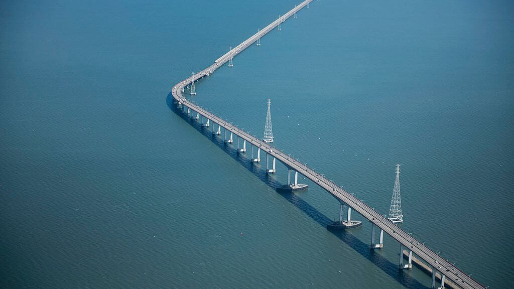
San Mateo Bridge is divided into two parts, namely the east trestle bridge and the west high-rise. The total length of San Mateo Bridge is 7 mi (11.3 km ), the east trestle bridge is 5.1 mi (8.2 km) long, and the western high-rise is 1.9 mi (3.1 km) long.
Eastern Trestle
The east trestle is 5.1 mi (8.2 km) long and has 4,840 prestressed hollow concrete piles, each 60-90 feet (18-27 m) long. It used to be 4 lanes, now it is 6 lanes, the bridge width is 135 ft (41 m), and the speed limit is 65 miles per hour (105 km/h).
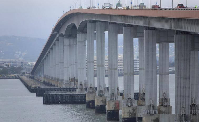
West high-rise
The western high-rise is 1.9 mi (3.1 km) long. It is close to Hayward and used approximately 425,000 cubic yards (325,000 m³) of landfill to fill the sea to house toll gates and administrative buildings.
It is a waterway bridge, Deck height is 135 ft (41 m). The maximum span is 757 ft (230.8 m), the largest span bridge in the United States when completed,
The steel deck of the bridge is approximately 418,000 square feet (38,800 m²).
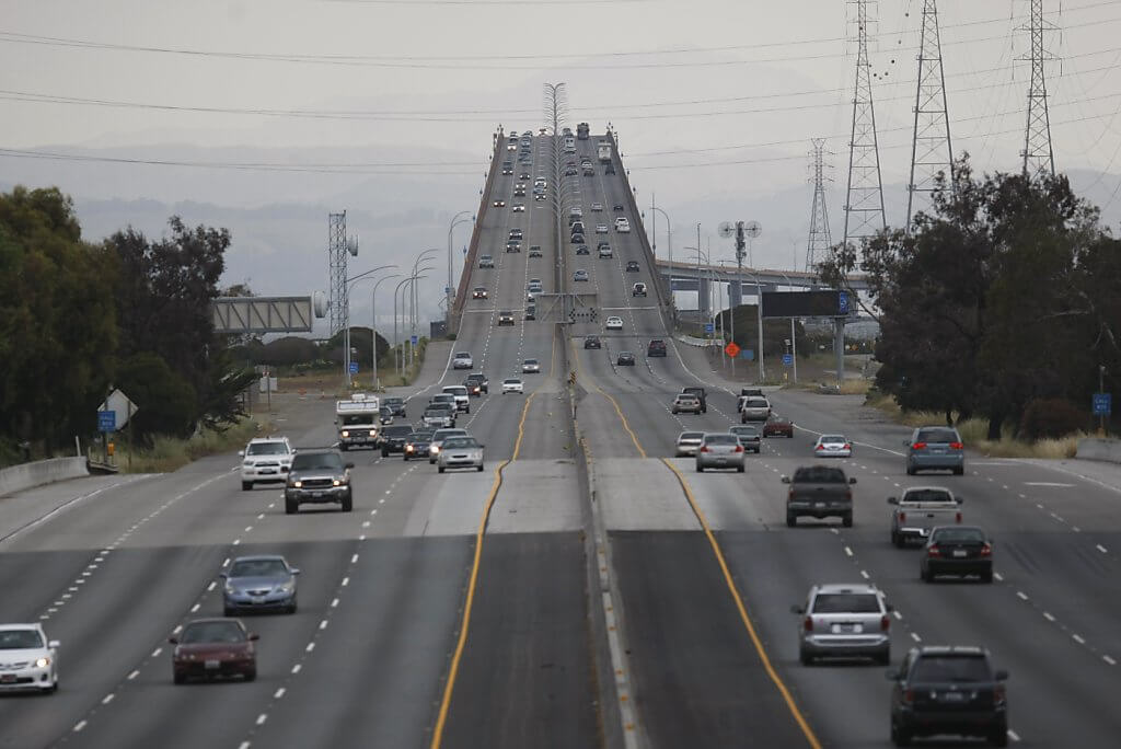
San Mateo Bridge Data
- Country
- America
- Region
- North America
- Status
- In use
- Official name
- San Mateo-Hayward Bridge
- Other name
- San Mateo Bridge
- Location
- Foster City and Hayward, California, United States
- Owner
- State of California
- Contractor
- superstructure: Murphy Pacific Bridge Builders, Emeryville substructure: Pomeroy-Gerwick-Steers, San Francisco
- Designer
- Caltrans, Bay Toll Crossings Division
- Operator
- Caltrans and BATA
- Cost
- US $70 million
- Began
- 1928
- Opened
- 1929
- Total length
- 7 mi ( 11.3 km )
- Width
- 135 ft ( 41 m )
- Deck height
- 135 ft ( 41 m )
- Longest span
- 757 ft ( 230.8 m )
- Design type
- Orthotropic deck, trestle
- Toll
- Cars (westbound only) $6.00 (cash or FasTrak), $3 (carpools during peak hours, FasTrak only)
- Crosses
- San Francisco Bay
View San Mateo Bridge on Google Satellite Map
Google satellite maps allow you to see building details more clearly, including natural landscapes such as mountains, rivers, deserts, sea and man-made engineering buildings.
If you are very interested in this engineering building, it is a good idea to click below Google Map icon. We will help you jump to the corresponding location of this building or engineering on Google satellite map.


