Busan Port(Korean:부산항) is located on the southeastern coast of South Korea, bordering the Straits of Korea (KOREA) in the southeast and NAKTONG River in the west. It faces Japan’s Tsushima Island and is the largest port in South Korea as of 2020.
Busan Port also called Pusan port.
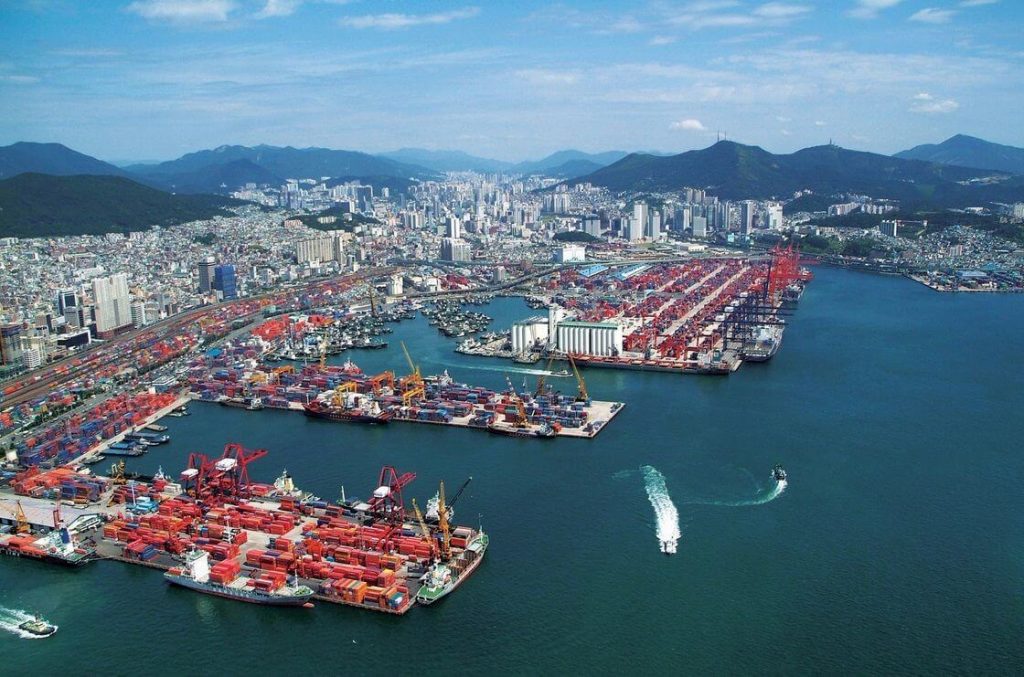
It is the hub of land, sea and air transportation in South Korea, as well as a financial and commercial center, and plays an important role in South Korea’s foreign trade.
The shipbuilding industry of Busan Port ranks first in South Korea, and the export of aquatic products occupies an important position in the export trade.
The port is about 28km from the airport.
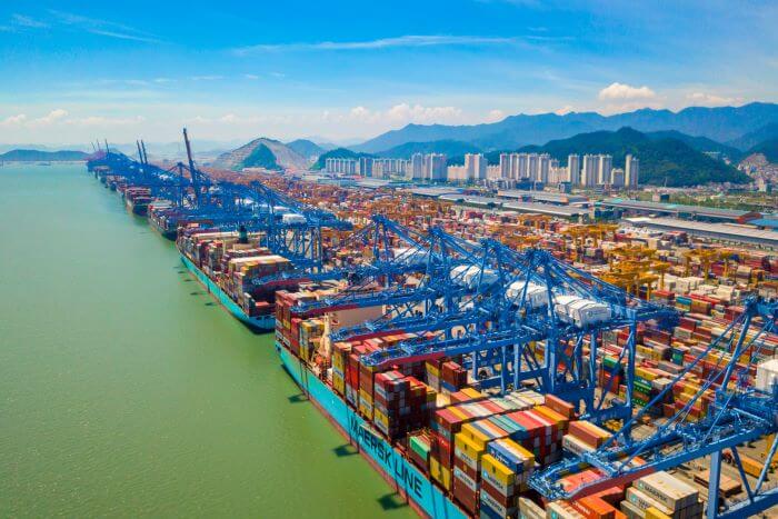
History of Busan Port
Busan Port was a grass-roots port during the Goryeo Dynasty.
Until the end of the Goryeo dynasty (1270-1394), “Waegwan” (Japanese residential area) was established, and Busan Port was recognized by the government.
During the Joseon Dynasty (1394-1896), “Waegwan” gradually developed into a chamber of commerce and embassy, and Busan Port also received strong support.
In 1876, the North Korean government and the Japanese Army signed the “Ganghwa Island Treaty.” Busan Port became a small port for strict trade between North Korea, China, and Japan, located at the mouth of the Nakdong River facing the Tsushima Island of Japan.Busan Port began small-scale industrialization.
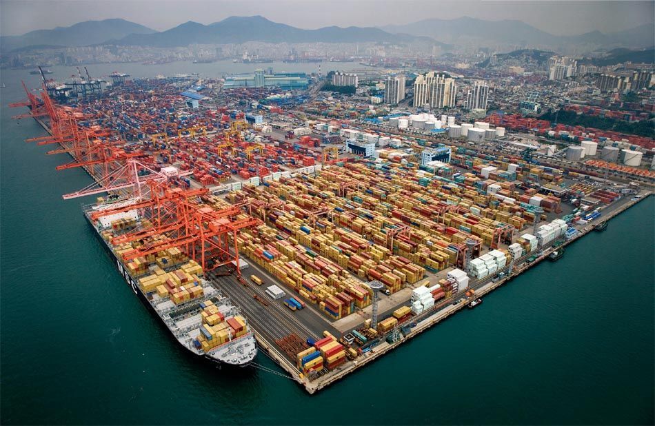
Japan captured a wharf in 1935. Since then, as the economy has grown, it has become impossible to load and unload cargo on existing terminals.
The first phase of the project was carried out from 1941 to 1958, the existing second and third terminals were rebuilt, and the first, sixth and eighth terminals were created.
During the Korean War (1950-1953), Busan was among the few places North Korea did not invade, causing war refugees to flee to the city of Busan. At that time Busan’s port was crucial to receive war materials and aid, such as fabrics and processed foods to keep the economy stable. In the 1970s, a rise in the footwear and veneer industries caused factory workers to migrate to Busan, bringing Busan’s population from 1.8 million to 3 million.
The Port of Busan continued to grow and by 2003 the port was the fourth largest container port in the world.
South Korea accounted for 0.7% of global trade in 1970, but by 2003 it went up to 2.5%. 50% of the Busan’s manufacturing jobs are related to exports, and 83% of the country’s exports are containerized, making Busan the country’s largest container and general cargo port. Compared to the Port of Busan, Inchon port handles only 7% of containers. Easy access to the Port of Busan between Japan, Singapore, and Hong Kong contribute to its vast growth.
In 2007 the Busan Port handled cargo containing fertilizers, meat, scrap metal, petroleum and other gases, crude petroleum, coal, leather, fats and oils, iron ore, rough wood, natural sand, milling industry products, and sugar.
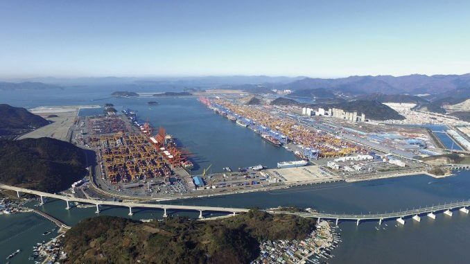
In March 2010, Busan New Port International Terminal opened.
In 2016, South Korea exported a total of $ 515 B and imported $ 398 B. Top exports of South Korea are integrated circuits, cars, refined petroleum, passenger and cargo ships, and vehicle parts. South Korea exports the most to China, the United States, Vietnam, Hong Kong, and Japan. Imports to South Korea mainly come from China, Japan, the United States, Germany, and other Asian countries.
In 2017 Busan processed more than 20 million TEUS.
Current situation
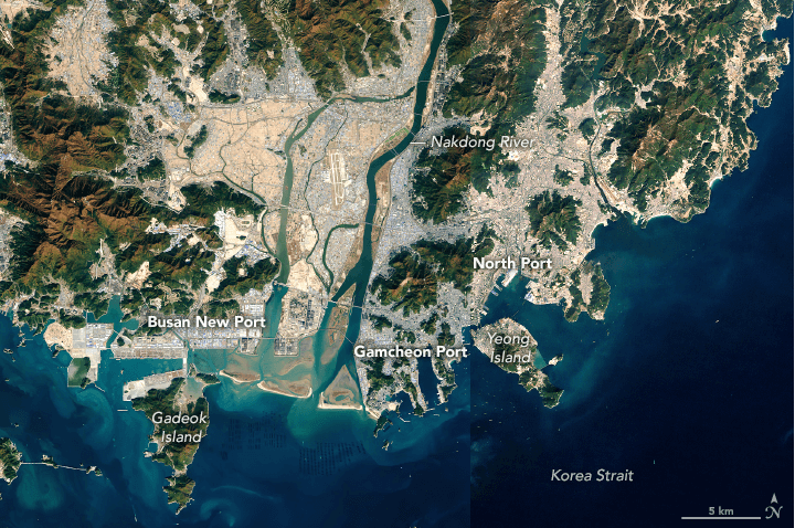
Pusan Port is the 7th busiest container port in the world (as of 2018).
It was developed, managed and operated by the Busan Port Authority (BPA) established in 2004.
Today, Busan Port is mainly composed of 6 ports-North Port, South Port, Ganchuan Port, Dazhongpu Port, Busan New Port International Passenger Terminal and Jinman Container Terminal.
Beigang provides passenger handling facilities and cargo. With the help of Ganchuan Port, it can handle more cargo (shipping technology).
The southern port is home to the Busan Cooperative Fish Market, which is Korea’s largest fishing base and accounts for 30% of total marine production.
Dabupu Port is located west of Busan Port and mainly deals with coastal catches.
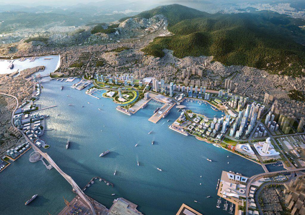
Pusan Newport International Terminal (PNIT) is a new port constructed in Busan, in South Korea; it is a joint venture between PSA International and Hanjin.
The port has three deepwater berths, 1.2 km of quay, and a capacity of 2 million TEU; it opened in March 2010.
The port is positioning itself as a trans-pacific transshipment hub.
Busan Port Data
- Country
- South Korea
- Location
- Busan, South Korea
- Official name
- 부산항
- Other name
- Pusan port
- Status
- In use
- Maintained by
- Busan Port Authority (BPA)
- Port type
- Deepwater seaport, Riverport
- Features
- Natural port, Artificial port
- Region
- East Asia
- Sea area
- Korea strait
- Annual cargo tonnage
- 400 million tons (2017)
- Year of opening
- 1270-1394 AD
- Industrialization date
- 1876
- Annual container volume
- 21.6 million TEU (2018)
View Busan Port on Google Satellite Map
Google satellite maps allow you to see building details more clearly, including natural landscapes such as mountains, rivers, deserts, sea and man-made engineering buildings.
If you are very interested in this engineering building, it is a good idea to click below Google Map icon. We will help you jump to the corresponding location of this building or engineering on Google satellite map.


