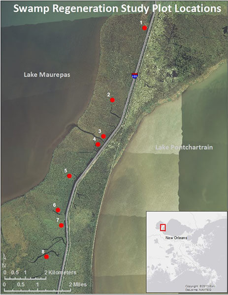
The Manchac Swamp Bridge (Other name: I-55 Manchac Swamp Crossing) is located on Manchac Swamp between Lake Maurepas and Lake Pontchartrain, close to Lake Pontchartrain. in Louisiana, USA, it is a twin concrete trestle bridge.
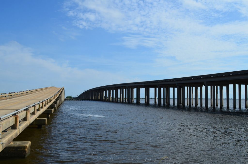
The bridge has two parts, the northern one which connects the towns of Starder and North Pass and the southern sections which connects the towns of Manchac and Galva.
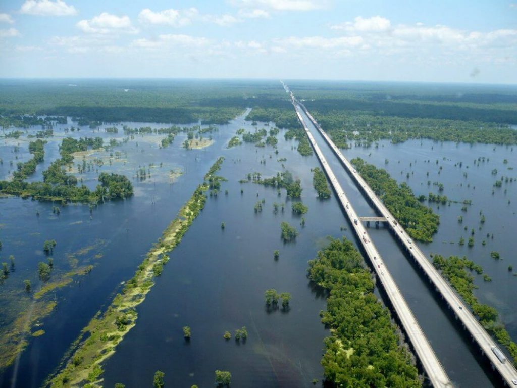
It is a concrete bridge that includes two bridges that actually carry National Highway 51 and Interstate 55. And it accounts for about one-third of the 66 highways in Louisiana. It has an important position in the region.
The bridge was built in the late 1970s and Opening in 1979.
Bridge parameters
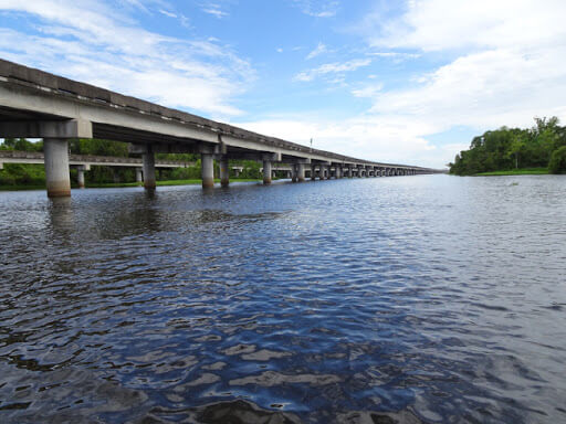
With a total length of 22.80 miles (36.69 kilometers), it is one of the longest water bridge in the world and one of the longest bridges on the interstate highway system.
The total width of the 2 bridges plus Gap between bridges is estimated to be close to 95 meters (312 ft).
its piles were driven 250 feet (76 m) beneath the swamp and with the cost of the span being $7 million per mile to complete.About US $160 million total in 1975.
Local legend
The bridge spans a swamp that is supposedly haunted with a Rougarou (Cajun werewolf, also known as loup-garou) and a voodoo princess.
Legend has it that the princess placed a curse on the surrounding areas and indeed a hurricane swept away three towns on the day of her funeral in 1915.
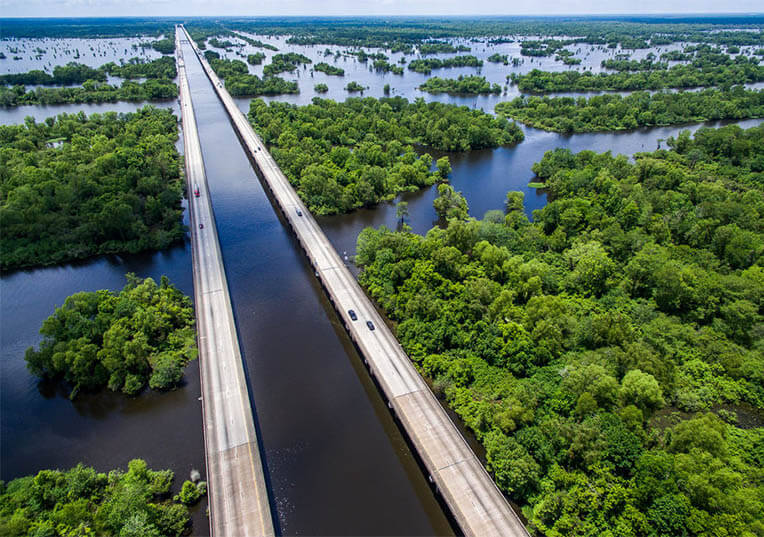
Though a previous Manchac bridge suffered a fatal collapse in 1976, the present structure has resisted the historic hex and remained stable.
It’s quite safe to drive over the bridge despite any legends, but swamp swimmers below should be aware of the fully real alligators that float on the tranquil waters below the pier.
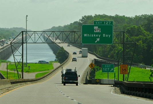
Manchac Swamp Bridge Causeway Data
- Country
- America
- Location
- St. John the Baptist Parish / Tangipahoa Parish, Louisiana, USA
- Official name
- Manchac Swamp Bridge
- Other name
- I-55 Manchac Swamp Crossing
- Cost
- US $160 million
- Status
- In use
- Maintained by
- Louisiana Department of Transportation and Development
- Began
- Late 1970s
- Opened
- 1979
- Length
- 22.8 miles (36.7 km)
- Length over water
- 22.8 miles (36.7 km)
- Width
- 95 m/312 ft(2 bridges + Gap between bridges)
- Bridge type
- Lake(Swamp) bridge
- Crosses
- Manchac Swamp
- Road scale
- 4 lanes
View Manchac Swamp Bridge on Google Satellite Map
Google satellite maps allow you to see building details more clearly, including natural landscapes such as mountains, rivers, deserts, sea and man-made engineering buildings.
If you are very interested in this engineering building, it is a good idea to click below Google Map icon. We will help you jump to the corresponding location of this building or engineering on Google satellite map.


The last three photos are of I-10 over the Atchafalya Basin.