Where is the Prince of Wales Bridge?
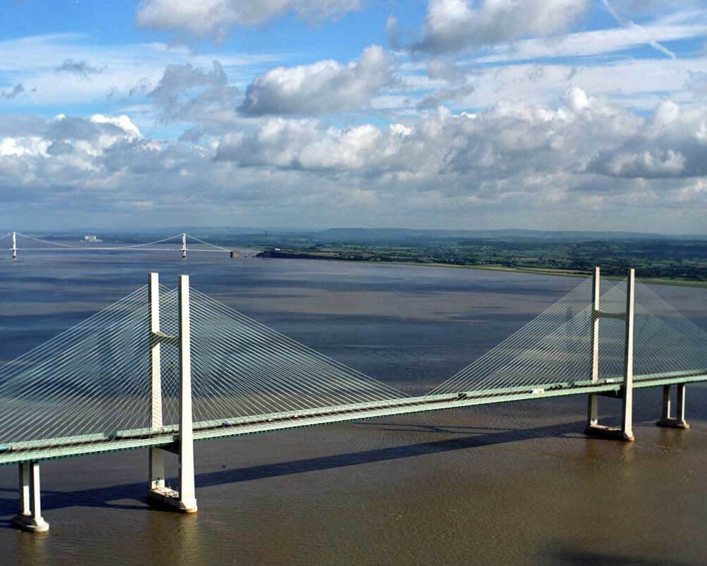
The Prince of Wales Bridge is located in the south of England. It crosses the Severn River and connects South West England and South East Wales.
What was the former name of Prince of Wales Bridge?
It was called Second Severn Crossing Bridge before 2018.
April 5 2018, on the 70th birthday of the Prince of Wales, the bridge was renamed Prince of Wales Bridge to commemorate his contribution to the 60th anniversary of the Prince. This move was opposed by some people.
When was the Prince of Wales Bridge built? How much did it cost?
It started construction in 1992 and opened on June 5, 1996.
It cost 330 million pounds (440 million US dollars).
Why was the Second Severn Crossing Bridge built?
The bridge was built to ease the traffic pressure on the Severn Bridge built in 1966. So it was called Second Severn Crossing Bridge. The bridge is managed by the British highway.
History
Birth background
- 1966: The first Severn Bridge is opened, it is a 4-lane suspension bridge.
- In 1984, the traffic on the first Severn Bridge doubled, and it is expected that by the mid-1990s, the old bridge will operate at full capacity.
- 1986: Experts recommend building a new bridge downstream of the existing bridge.
- 1988: It was announced that private consortia would be invited to tender to fund, build and operate the bridge within a specific period.
- 1989: Bidding for the second bridge project began.
- 1990: Severn River Crossing plc obtained a concession to build a bridge.
Construction process
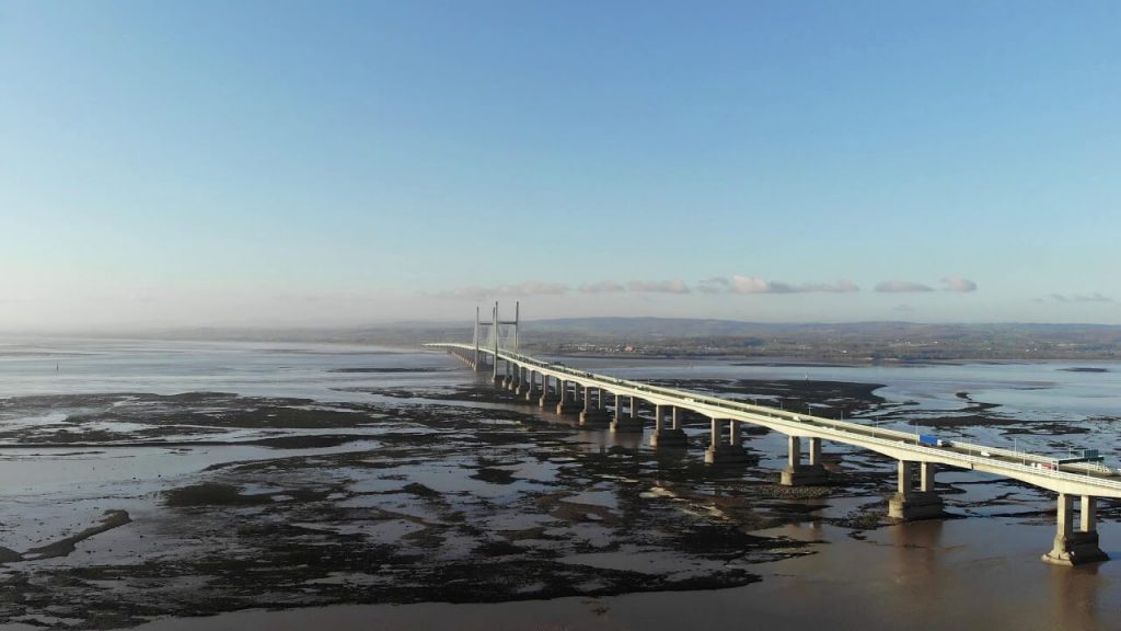
- April 26, 1992: Construction of the Second Severn Crossing Bridge began.
- Summer 1994: The bridge deck launcher fell on the Gwent viaduct, causing the 200-ton bridge deck unit to fall onto the deck below. Although this delayed the project by ten weeks, the builders still completed the bridge as scheduled two years later.
- June 5, 1996: The Prince of Wales opened the Second Severn Crossing Bridge.
- 2018: The bridge was renamed Prince of Wales Bridge.
- December 2018: Both Severn River bridges are free to pass because the tolls are cancelled.
Building technical parameters
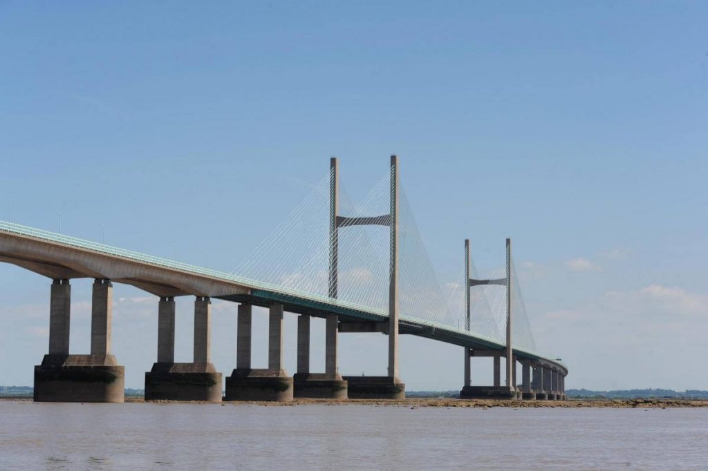
The length of the bridge is 3.2 mi (5.1 km), and the bridge length over the Severn River is 2.8 mi (4.6 km).
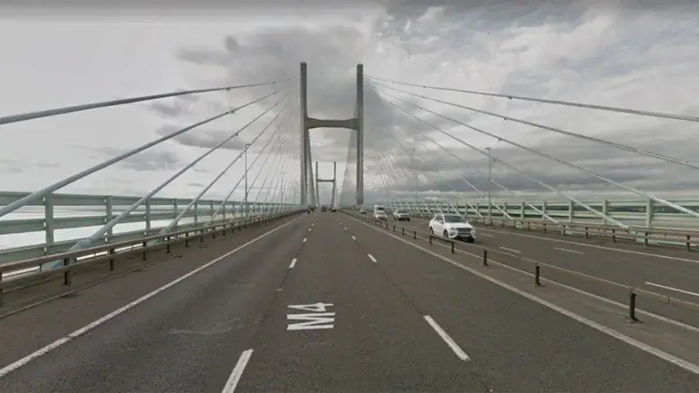
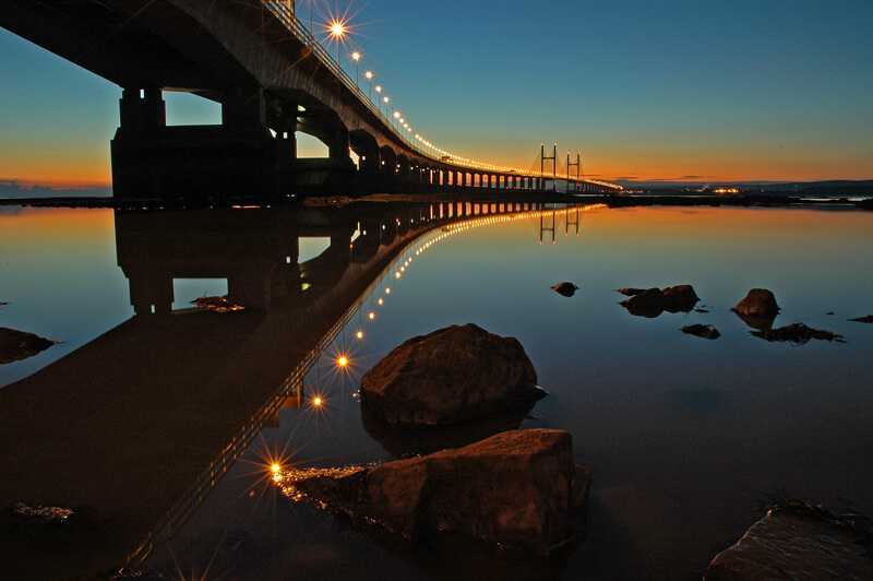
The bridge deck is 114 ft (34.6 m) wide and has 6 lanes. A 10 ft (3 m) baffle is installed on the side of the bridge to reduce the lateral wind load from the mouth of the Severn River to traffic.
It is mainly composed of 2 parts: Shoots cable-stayed bridge and 2 side approach bridges.
Shoots bridge
The Shoots Bridge is the cable-stayed part of the bridge. It has the longest span of the bridge at 1496 ft (456 m). The height of the pylon of the cable-stayed bridge is 449 ft (137 m), the clearance under the bridge is 121 ft (37 m), and it can pass freighters.
2 side approach bridge
The approach bridge on the English side consists of 25 spans and is 6900 ft (2103 m) long.
The approach length of the Welsh side bridge is 6814 ft (2077 m) and it consists of 24 spans.
Safe wind speed
For safety, when the wind speed exceeds 70 knots (80 mph), the bridge will be out of service.
Prince of Wales Bridge Data
- Country
- England
- Region
- North Europe
- Status
- In use
- Official name
- Prince of Wales Bridge
- Other name
- Second Severn Crossing Bridge
- Location
- Between South West England and South East Wales
- Operator
- Highways England
- Cost
- 330 million pounds (US $440 million )
- Began
- Apr-26, 1992
- Opened
- Jun-05, 1996
- Total length
- 3.2 mi ( 5.1 km )
- Tall (tower)
- 449 ft ( 137 m )
- Length over water
- 2.8 mi ( 4.6 km )
- Width
- 114 ft ( 34.6 m )
- Deck height
- 121 ft ( 37 m )
- Longest span
- 1496 ft ( 456 m )
- Design type
- Central span: Cable-stayed bridge Approach viaducts: Segmental bridge
- Toll
- Free
- Road scale
- 6 lanes
- Crosses
- Severn River
View Prince of Wales Bridge on Google Satellite Map
Google satellite maps allow you to see building details more clearly, including natural landscapes such as mountains, rivers, deserts, sea and man-made engineering buildings.
If you are very interested in this engineering building, it is a good idea to click below Google Map icon. We will help you jump to the corresponding location of this building or engineering on Google satellite map.


