Seven Mile Bridge is located in Florida Keys, Monroe County, Florida, United States. It traverses the Moser Channel and an island group called Middle Keys. The more famous islands are Knight’s Key and Little Duck Key.
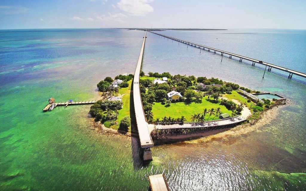
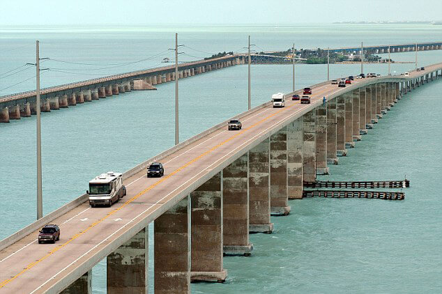
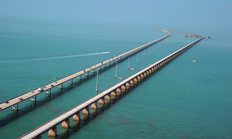
There are two bridges at this location. In the photo, the two bridges often appear together. The current Seven Mile Bridge usually refers to the new Seven Mile Bridge that can pass vehicles.
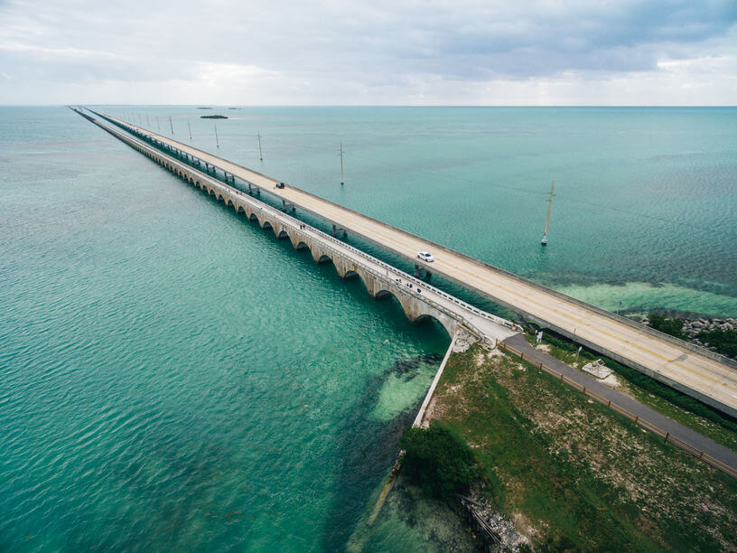
The Seven Mile Bridge is 6.8 mi (10.9 km) long and has 2 lanes. It is part of the Florida East Coast Railroad (Overseas Railroad) and belongs to U.S. Route 1. It was built in 1978 and opened on May 24, 1982. It cost US $45 million.
The old Seven Mile Bridge, originally known as the Knights Key-Pigeon Key-Moser Channel-Pacet Channel Bridge. It can only pass pedestrians and bicycles. It is slightly longer than the new bridge.
History
Old bridge
- In 1909, the old Seven Mile Bridge began construction.
- In 1912, the old Seven Mile Bridge opened and operated as part of the overseas railway.
- In 1935, the Labor Day hurricane destroyed this part of the railway. The US government purchased the destroyed railway, converted it into a highway bridge, and expanded the route of the highway bridge to increase the bridge’s traffic range.
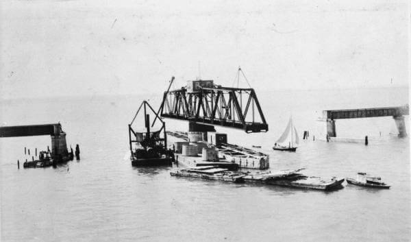
The road bridge had a swing span to let the boat pass the Moser Channel. The removed train tracks were painted white and used as guardrails.
- In 1960, Hurricane Donna caused further damage to the old Seven Mile Bridge.
New Bridge
- In 1978, construction of the new Seven Mile Bridge began, and it was built alongside the old bridge.
- On May 24, 1982, the new Seven Mile Bridge was opened and put into operation.
Old bridge maintenance
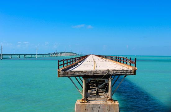
- In 2008, the 2.2-mile-long section of the old Seven Mile Bridge (for fishing tourism) near Pigeon Key Island was banned from motor vehicles because the section was too old and had begun to collapse.
- In 2014, the Florida Department of Transportation approved a $77 million plan to repair the old bridge.
- In 2017, the pedestrian section of the old bridge was closed, and large-scale repairs are expected to be completed in the second half of 2021.
Building technical parameters
The Seven Mile Bridge is 6.8 mi (10.9 km) long. It has a span of 440 (concrete box girder structure), which is shorter than the old bridge. The bridge is 38 ft (11.6 m) wide and has 2 lanes. 65 ft (19.8 m).
The bridge deck is very close to the water. But near the center, the bridge rises in an arc, providing 65 feet (20 m) of clearance for ships to pass. The new bridge does not cross the Pigeon Key Island.
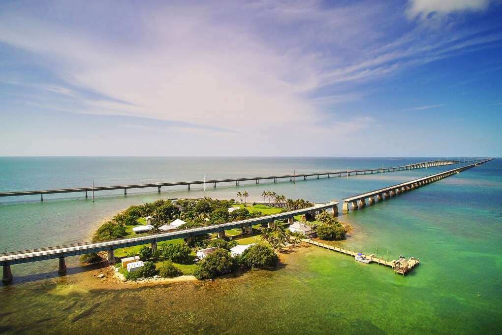
The bridge also shoulders the functions of water supply and communication. Water pipelines and communication optical cables were built on the bridge.
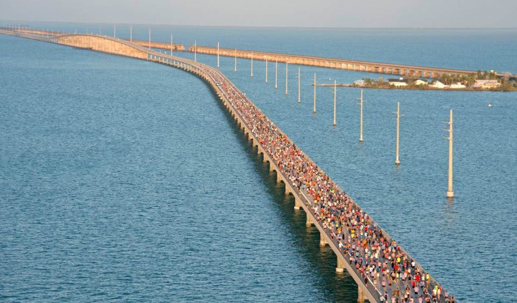
Beginning in 1982, the bridge is closed on Saturdays for approximately 2.5 hours each April, People hold long-distance running activities on the bridge, to commemorate the reconstruction of the Seven Mile Bridge at the Florida Reef Bridge.
Seven Mile Bridge Marathon Runners Club. If you want to participate in running, please register in advance before April every year. Official website: 7mbrun.com.
Seven Mile Bridge Data
- Country
- America
- Region
- North America
- Status
- In use
- Official name
- Seven Mile Bridge
- Location
- Florida Keys, Monroe County, Florida, USA
- Operator
- Florida Department of Transportation
- Cost
- US $45 million
- Began
- Old-bridge: 1909, New-bridge: 1978
- Opened
- Old-bridge: 1912, New-bridge: May-24, 1982
- Total length
- 6.8 mi ( 10.9 km )
- Width
- 38 ft ( 11.6 m )
- Deck height
- 65 ft ( 19.8 m )
- Longest span
- 135 ft ( 41.2 m )
- Design type
- precast segmented box girder bridge
- Road scale
- 2 lanes
- Crosses
- Moser Channel
View Seven Mile Bridge on Google Satellite Map
Google satellite maps allow you to see building details more clearly, including natural landscapes such as mountains, rivers, deserts, sea and man-made engineering buildings.
If you are very interested in this engineering building, it is a good idea to click below Google Map icon. We will help you jump to the corresponding location of this building or engineering on Google satellite map.


