Atchafalaya Basin Bridge is located in Louisiana, USA. Atchafalaya Basin is the largest wetland and swamp in the United States, and a famous tourist attraction in the United States. It contains almost 10,000 acres of marshes and lakes. On this bridge, you can see the beautiful wetland scenery on Interstate 10. It is one of the longest bridges in the United States.
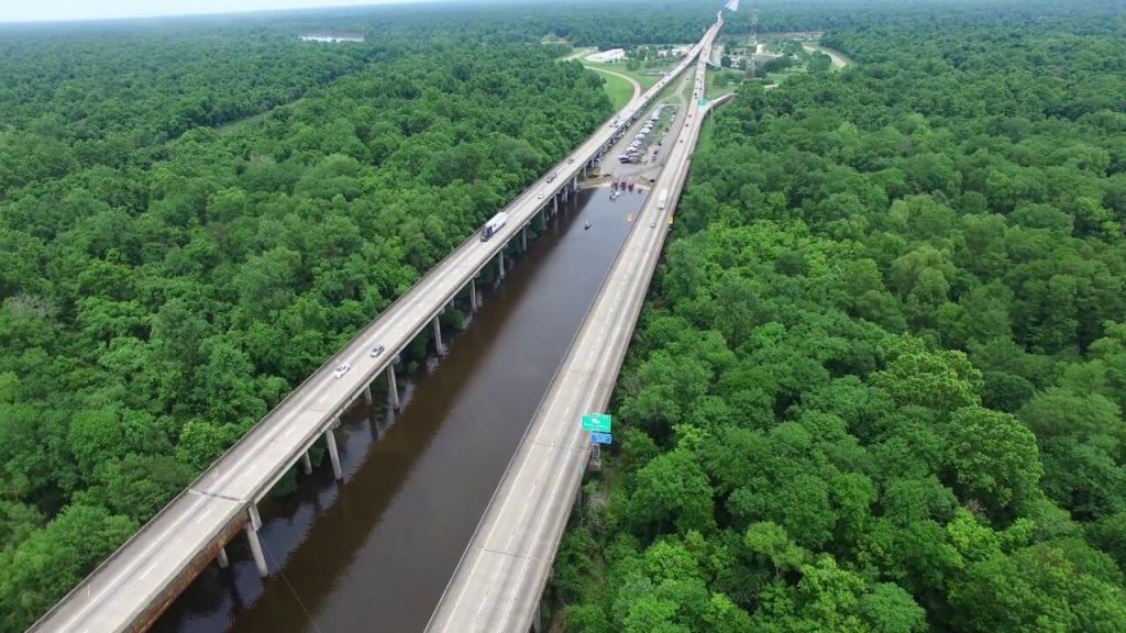
The Atchafalaya Basin Bridge is 18.2 mi (29.3 km) long. Also known as 20 Mile Bridge or Louisiana Airborne Memorial Bridge. Construction of the bridge began in 1971 and opened to the public in 1973.
When the bridge was completed, it was the second longest bridge in the United States, second only to Lake Pontchartrain Causeway.
History
1971: Construction of the Atchafalaya Basin Bridge began.
1973: Atchafalaya Basin Bridge opened to the public.
July 10, 1989: Bill 793 was passed and the bridge was renamed the Louisiana Airborne Memorial Bridge.
Building technical parameters
The Atchafalaya Basin Bridge is 18.2 mi (29.3 km) long. This bridge consists of 2 bridges in parallel, each with 2 lanes.
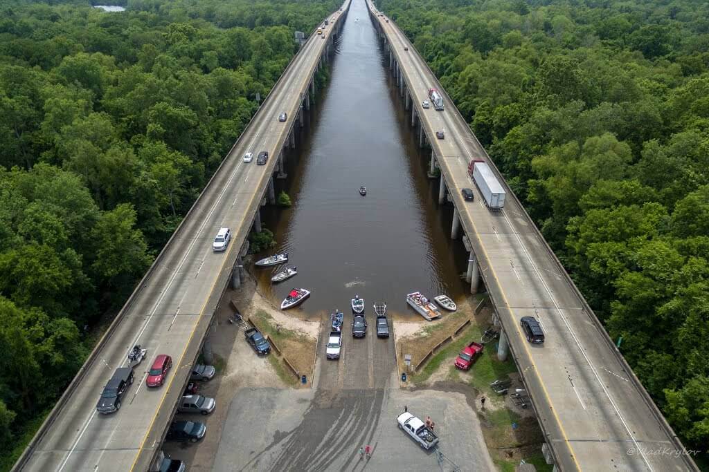
The bridge has only 2 exits: one is Whiskey Bay (Louisiana Highway 975) and the other is Butte La Rose (Los Angeles 3177).
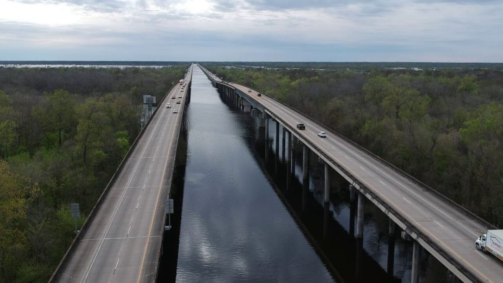
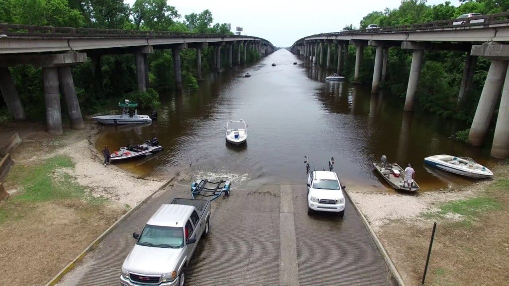
Although the bridge runs parallel for most of its length, it merges when crossing the Whiskey Bay Pilot Channel and the Atchafalaya River. The bridge has an average daily traffic flow of 30,420 vehicles.
Because the two rivers are very narrow and have no shoulders, accidents often occur near the two rivers.
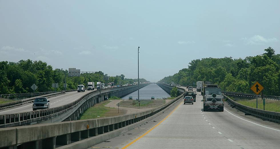
Atchafalaya Basin Bridge Data
- Country
- America
- Region
- North America
- Status
- In use
- Official name
- Louisiana Airborne Memorial Bridge
- Other name
- 20 Mile Bridge
- Location
- Iberville Parish / St. Martin Parish, Louisiana, USA
- Operator
- Louisiana Department of Transportation and Development (LaDOTD)
- Began
- 1971
- Opened
- 1973
- Total length
- 18.2 mi ( 29.3 km )
- Width
- 40 ft ( 12.2 m )
- Design type
- Stringer
- Toll
- Free
- Road scale
- 4 lanes
- Crosses
- Atchafalaya Basin
View Atchafalaya Basin Bridge on Google Satellite Map
Google satellite maps allow you to see building details more clearly, including natural landscapes such as mountains, rivers, deserts, sea and man-made engineering buildings.
If you are very interested in this engineering building, it is a good idea to click below Google Map icon. We will help you jump to the corresponding location of this building or engineering on Google satellite map.


