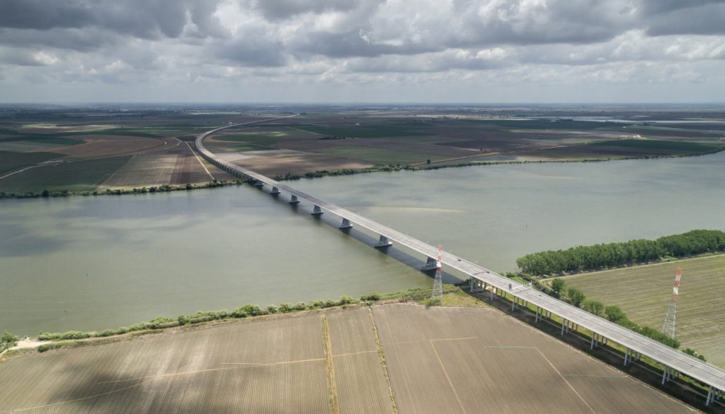
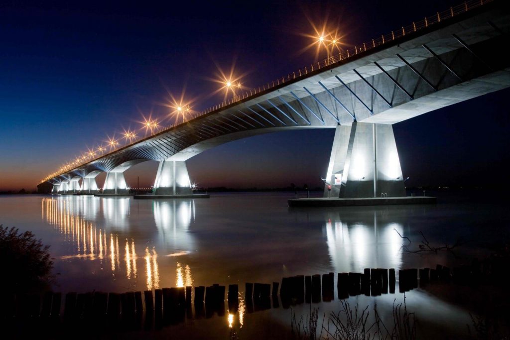
Lezíria Bridge (Portugal: Ponte da Lezíria) is located near Lisbon, Portugal. It crosses 2 rivers: the big one is the Tagus River and the smaller one is the Sorraia River. Connected Carregado and Benavente.
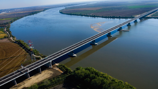
The Lezíria Bridge is 7.3 mi (11.7 km) long and has a longest span of 3189 ft (972 m). It is a two-way 6-lane high-speed bridge with a speed limit of 120 km/h. It cost 220 million euros (USD 260 million).
It is the third longest bridge in Europe after Crimean Bridge and Vasco da Gama Bridge. It was opened on July 8, 2007.
History
- In July 2005, the Lezíria Bridge began construction.
- In 2007, after 23 months of construction, the construction of Lezíria Bridge was completed. On July 8, Lezíria Bridge officially opened for operation.
Building technical parameters
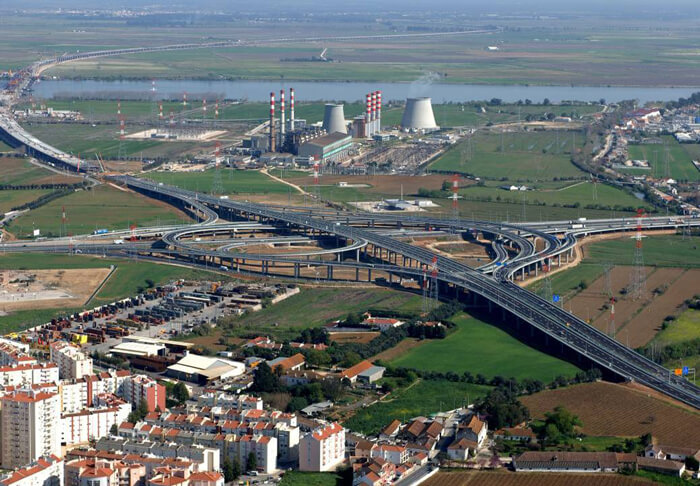
The Lezíria Bridge is 7.3 mi (11.7 km) long and consists of 2 viaducts.
The south viaduct is 0.9 mi (1.5 km) long and crosses the Sorraia River. The North Viaduct is 5.7 mi (9.2 km) long and 3189 ft (972 m) long, crossing the Tagus River.
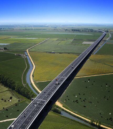
It is a two-way 6-lane high-speed bridge with a speed limit of 120 km/h. It cost 220 million euros (USD 260 million). It consumed 400,000 cubic meters of concrete, 45,000 tons of steel, 3,000 tons of pre-esforço and 52,300 ml of foundation piles.
Lezíria Bridge uses an innovative toll collection system whose technology can reduce manual charging and simplify the vehicles circulating on site. The toll fee is 1.25 euros.
Lezíria Bridge Data
- Country
- Portugal
- Region
- Western Europe
- Status
- In use
- Official name
- Ponte da Lezíria
- Location
- Carregado, north of Lisbon (right bank) Municipality of Benavente (left bank)
- Contractor
- TACE
- Operator
- Brisa
- Cost
- 220 million euros (USD 260 million)
- Began
- Jul, 2005
- Construction end
- 2007
- Opened
- Jul-08, 2007
- Total length
- 7.3 mi ( 11.7 km )
- Longest span
- 3189 ft ( 972 m )
- Design type
- box girder, viaducts
- Toll
- €1.25 per passenger car (up to €3.10 per truck)
- Design speed
- 120 km/h (75 mph)
- Road scale
- 6 lanes
- Crosses
- Tagus River, Sorraia River
View Lezíria Bridge on Google Satellite Map
Google satellite maps allow you to see building details more clearly, including natural landscapes such as mountains, rivers, deserts, sea and man-made engineering buildings.
If you are very interested in this engineering building, it is a good idea to click below Google Map icon. We will help you jump to the corresponding location of this building or engineering on Google satellite map.


