Bolte Bridge is located in Melbourne, Victoria, southern Australia. It is in the north of port phillip bay and crosses the Yarra River and mouth of Moonee Ponds Creek.
The bridge is 3.1 mi (5 km) long. The main bridge is a 1608 ft (490 m) double cantilever road bridge. The two Gateway Towers are 459 ft (140 m) high. It has 8 lanes. It cost US $750 million.
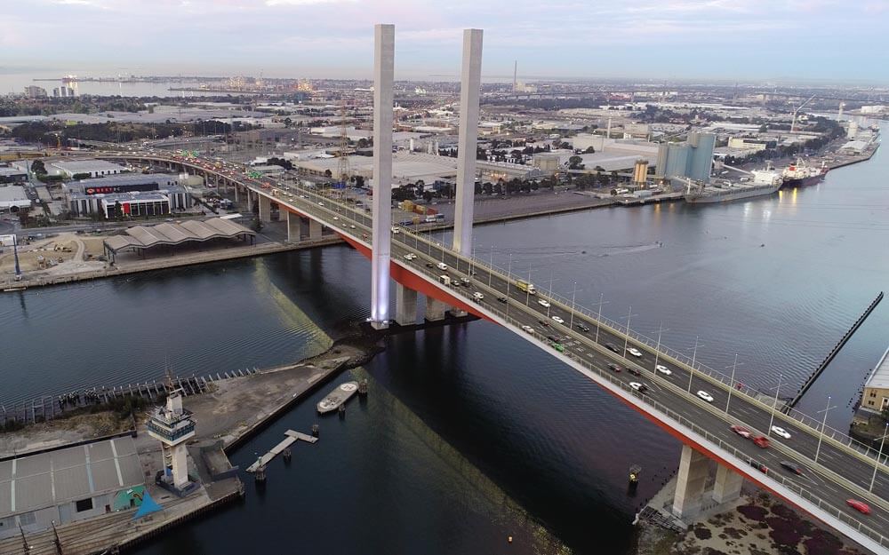
The Bolt Bridge is part of the Western Link of the CityLink toll road, so driving along the Bolte Bridge requires a CityLink toll. The bridge is named after Sir Henry Bolt, the longest-serving prime minister of Victoria.
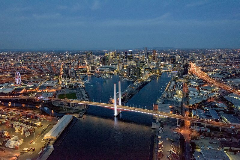
History
1996: Construction of the bridge designed by Denton Corker Marshall begins.
August 16, 1999: The bridge was completed by Baulderstone Hornibrook and Johnson & Mape Construction Co. at a cost of 75 million US dollars.
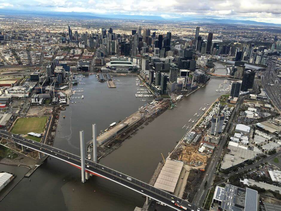
Building technical parameters
The Bolte Bridge is 3.1 mi (5 km) long and its longest span is 568 ft (173 m). It cost US $750 million.
The main bridge is 1608 ft (490 m) long and has four spans. The two main spans are 173 meters (567.6 feet) and the side spans are 72 meters (236.2 feet).
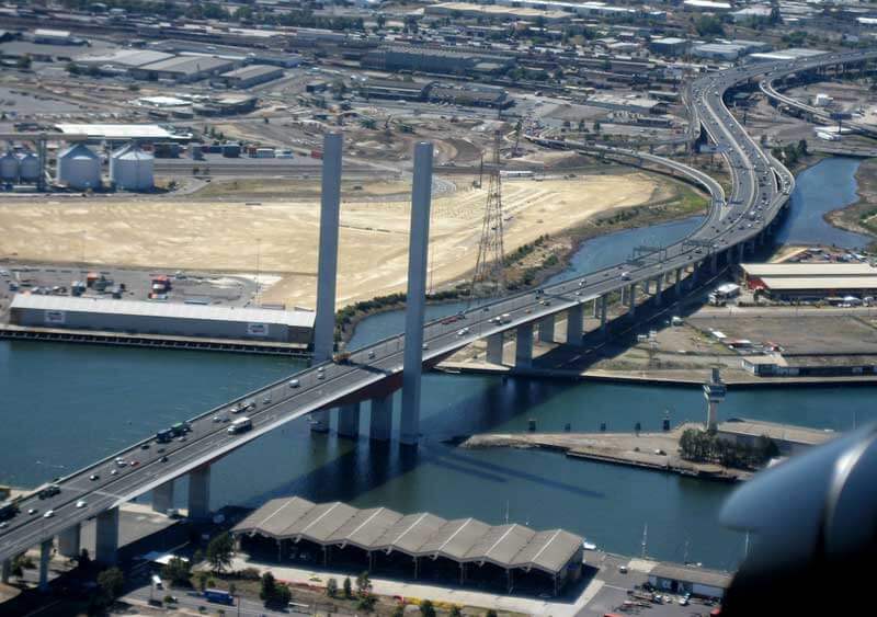
The bridge deck height is 82 ft (25 m), and it has 8 lanes with a deck width of about 118 ft (36 m). Cyclists and pedestrians are prohibited from passing.
The two bridge towers called Gateway Towers are 459 ft (140 m) high. The inside of the tower is hollow, with access ladders leading to the top of the tower.
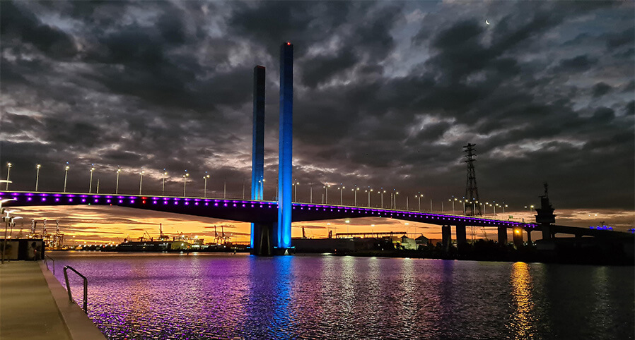
Bolte Bridge Data
- Country
- Australia
- Region
- Oceania
- Status
- In use
- Official name
- Bolte Bridge
- Location
- Melbourne, Victoria, Australia
- Owner
- Melbourne City Link Authority
- Contractor
- Baulderstone Hornibrook, Johnson & Mape Construction Co.
- Designer
- Denton Corker Marshall
- Operator
- Transurban
- Cost
- US $750 million
- Began
- 1996
- Opened
- Aug-16, 1999
- Total length
- 3.1 mi ( 5 km )
- Tall (tower)
- 459 ft ( 140 m )
- main channel bridge Length
- 1608 ft ( 490 m )
- Width
- 118 ft ( 36 m )
- Deck height
- 82 ft ( 25 m )
- Longest span
- 568 ft ( 173 m )
- Design type
- Single-cell box girder bridge
- Toll
- A$2.09 (one way)
- Road scale
- 8 lanes
- Crosses
- Yarra River, mouth of Moonee Ponds Creek
View Bolte Bridge on Google Satellite Map
Google satellite maps allow you to see building details more clearly, including natural landscapes such as mountains, rivers, deserts, sea and man-made engineering buildings.
If you are very interested in this engineering building, it is a good idea to click below Google Map icon. We will help you jump to the corresponding location of this building or engineering on Google satellite map.


