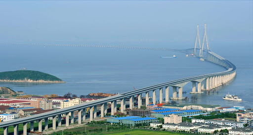
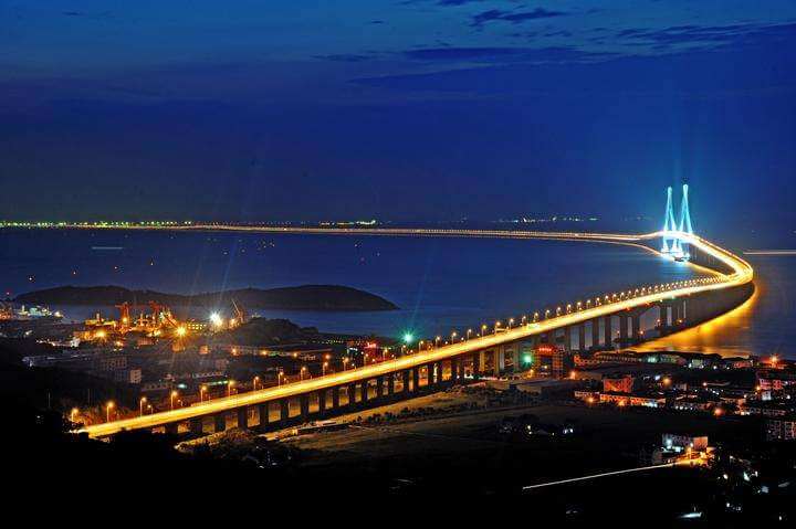
The Jintang Bridge(chinese:金塘大桥) is above the gray turtle ocean in the East China Sea.
It connects 3 places in Zhejiang Province, 1: Zhoushan City, 2: Zhenhai District, Ningbo City, 3: Jintang Island. It is one of the important components of the “Zhoushan Cross-sea Bridge” project.
The construction started on September 30, 2005; the closure of the main bridge was completed on June 25, 2008, and the entire bridge section was fully connected; it was opened to traffic on December 25, 2009.
The total length of Jintang Bridge is 16.5 mi / 26.54 km, Bridge section length is 13 mi / 21 km, And length over water is 11.4 mi / 18.4 km. The bridge deck is a two-way four-lane highway with a design speed of 100 kilometers per hour. The total investment is 7.7 billion yuan (about 1.2 billion US dollars).
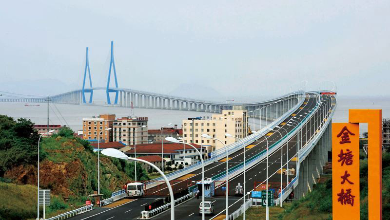
Overall layout of the building
The Jintang Bridge is composed of the main navigation bridge, the east navigation bridge, the west navigation bridge, the branch navigation bridge, the tower, the approach bridge, and the interchange ramps. The whole bridge section is arranged from northwest to southeast.
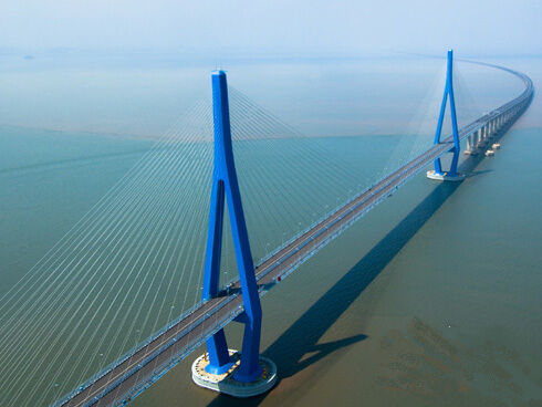
Main navigation bridge
The main navigation bridge is a twin-tower cable-stayed bridge.
Adopt (77 + 218 + 620 + 218 + 77) meter span arrangement, the box beam is 30.1 meters wide, the beam at the center line is 3.0 meters high, the total height of the tower is 204.0 meters, and the height above the bridge deck is about 152.362 meters; the platform is 6.5 meters thick , 56.78 meters long and 34.02 meters wide.
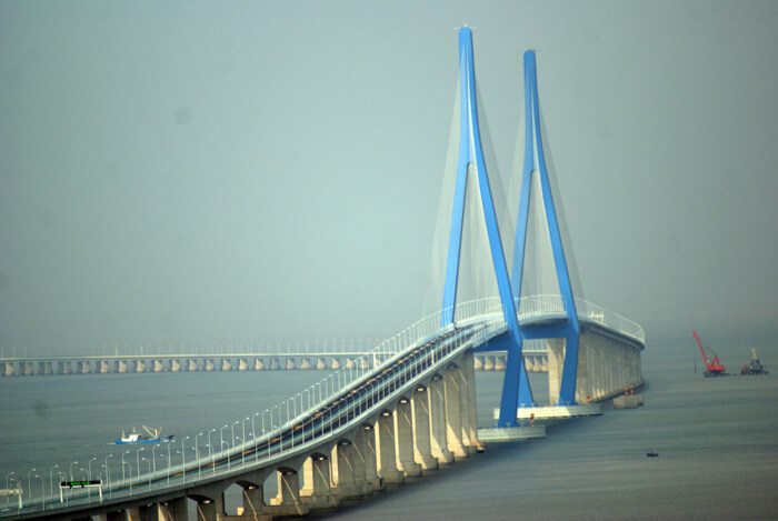
East Waterway Bridge
East Waterway Bridge is arranged with a span of (122 + 216 + 122) meters. The root beam is 13.3 meters high, the mid-beam is 4.4 meters high, and the main pier has a double thin middle distance of 8.8 meters.
West Waterway Bridge
The West Waterway Bridge adopts (87 + 156 + 87) span arrangement, the root beam is 9.25 meters high, and the middle beam is 3.4 meters high.
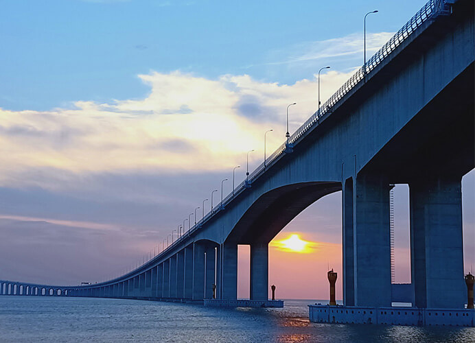
Construction process
On September 30, 2005, the Bridge started construction.
On December 6, 2006, the Bridge completed all the overall sinking works of the non-navigable bridge.
On February 9, 2007, the Bridge carried out non-navigable bridge beam engineering.
On June 25, 2008, the Bridge completed the main bridge helong project, and the whole bridge section was fully connected.
On December 25, 2009, the Bridge opened to traffic.
On September 28, 2010, the mechanical and electrical engineering passed the acceptance check.
Value Significance
As part of the Zhoushan Linked Island Project, the Jintang Bridge will become one of the boosters for the development of China’s marine economy. The connection of Zhoushan and Ningbo’s port coastline as a whole is of great significance to China’s foreign trade.
Jintang Bridge Data
- Country
- China
- Location
- Jintang Island, Zhoushan/Zhenhai, Ningbo
- Official name
- 金塘大桥
- Cost
- 7.7 billion yuan (US $1.2 billion )
- Status
- In use
- Maintained by
- Zhoushan Bridge Construction Management Bureau
- Began
- Sep-30, 2005
- Construction end
- Jun-25, 2008
- Opened
- Dec-25, 2009
- Total Duration
- 3 years
- Length
- 21 km (13 mi)
- Cross-sea section length
- 18.4 km (11.4 mi)
- Width
- 35 m (115 ft)
- Longest span
- 620 m (2,034 ft)
- Design type
- cable-stayed bridge
- Bridge type
- Cross sea bridge
- Crosses
- Huibieyang sea area(On East China Sea)
- Road scale
- 4 lanes
- Design speed
- 100 km / h
- Toll
- ¥100-395 Yuan(About $14-60) Cars ¥100
View Jintang Bridge on Google Satellite Map
Google satellite maps allow you to see building details more clearly, including natural landscapes such as mountains, rivers, deserts, sea and man-made engineering buildings.
If you are very interested in this engineering building, it is a good idea to click below Google Map icon. We will help you jump to the corresponding location of this building or engineering on Google satellite map.


