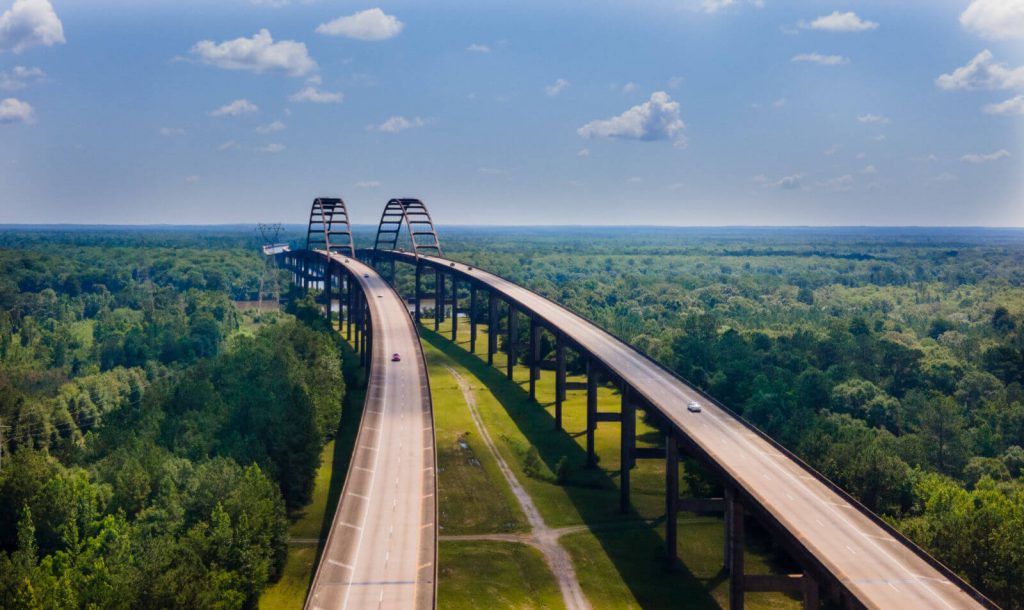
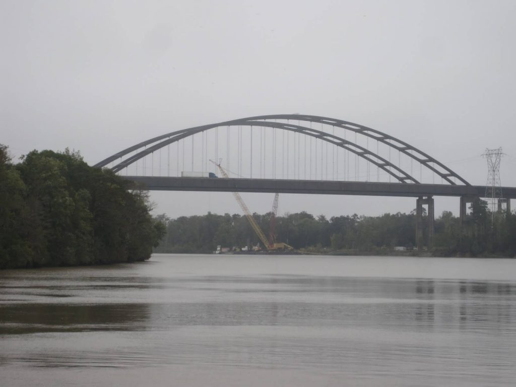
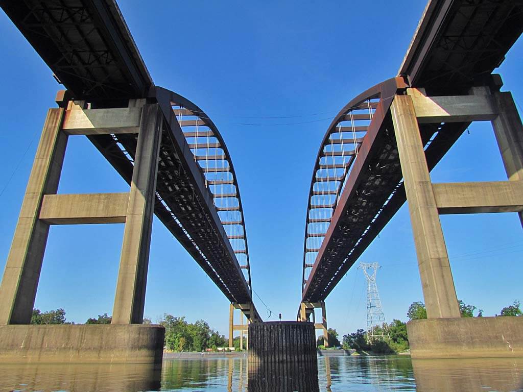
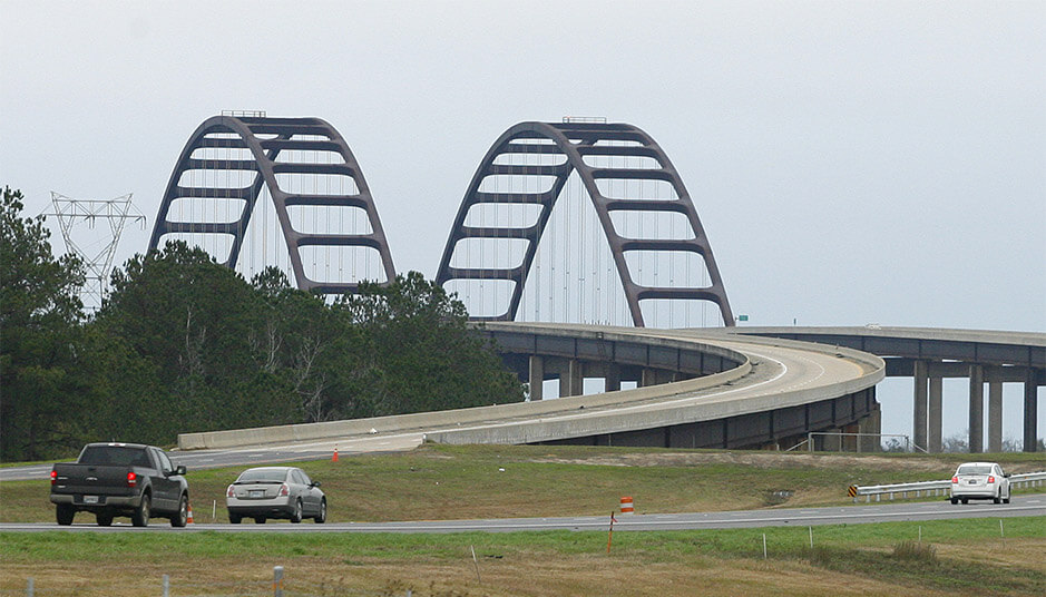
The Dolly Parton Bridge is located in Alabama, USA. It crosses the Mobile-Tensaw River Delta and connects Mobile County and Baldwin County. It is composed of 2 parallel bridges.
The length of the bridge is 6.2 mi (10 km), and the section above the water is 5.3 mi (8.5 km) long. It was built in 1978 and completed in 1980. It is part of Interstate 65 in Alabama, USA. It is also called the general w.k. wilson jr. bridge.

History
1978: Construction of the bridge began.
1980: The bridge was opened to the public and was named WK Wilson Jr. Bridge.

Building technical parameters
The Dolly Parton Bridge is 6.2 mi (10 km) long, and the bridge section on the water is 5.3 mi (8.5 km) long.
It is composed of 2 parallel bridges. Each 2-lane bridge deck is 39 ft (11.9 m) wide and has a total of 4 lanes.

The span of the steel arch bridge is 801 ft (244 m) and the clearance under the bridge is 125 ft (38 m). It is a double parallel bridge composed of weathering steel and concrete beam viaducts.
It is named in honor of Walter K. Wilson, the director of engineering for the U.S. Army Corps of Engineers and a resident of Mobile. He is believed to be one of the first to realize the need to build a high-rise bridge on Interstate 65 on the Mobile River that does not hinder the development of the waterway.
The Jubilee Parkway near Mobile Bay is also one of the longest bridges in the United States.

Dolly Parton Bridge Data
- Country
- America
- Region
- North America
- Status
- In use
- Official name
- Dolly Parton Bridge
- Other name
- Dolly Parton Bridge
- Location
- Between Mobile and Baldwin in Alabama, USA
- Began
- 1978
- Construction end
- 1980
- Opened
- 1980
- Total length
- 6.2 mi ( 10 km )
- Length over water
- 5.3 mi ( 8.5 km )
- Width
- 39 ft ( 11.9 m )
- Deck height
- 125 ft ( 38 m )
- Longest span
- 801 ft ( 244 m )
- Design type
- dual tied through-arch, beam viaduct
- Road scale
- 4 lanes
- Crosses
- Mobile-Tensaw River delta
View Dolly Parton Bridge on Google Satellite Map
Google satellite maps allow you to see building details more clearly, including natural landscapes such as mountains, rivers, deserts, sea and man-made engineering buildings.
If you are very interested in this engineering building, it is a good idea to click below Google Map icon. We will help you jump to the corresponding location of this building or engineering on Google satellite map.


