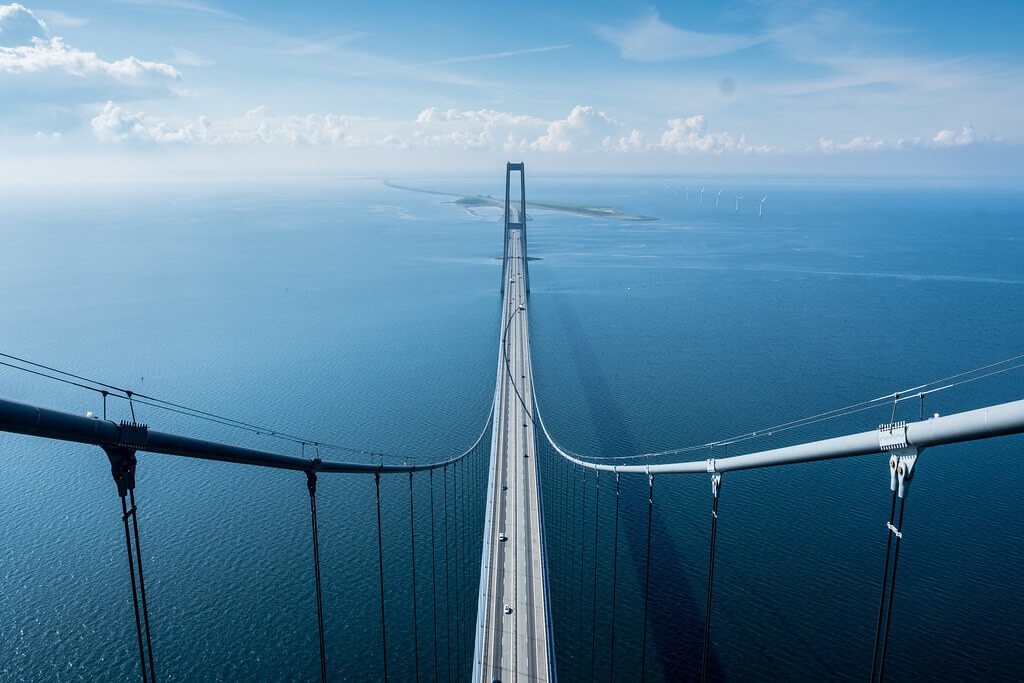
The Great Belt Bridge (Danish: Storebæltsforbindelsen) is located in the Great Belt Strait in Denmark, which connects Zealand and Sprogø island. It is a bridge in the Great Belt Fixed Link.
The Great Belt Fixed Link is composed of 2 bridges and 1 railway tunnel. The 2 bridges are a highway suspension bridge and a railway box girder bridge. The total length is 11.2 mi (18 km ), and the Bridge section length is 8.3 mi (13.4 km ). The Great Belt Bridge (East Bridge) is 4.2 mi (6.8 km) long, and the Railway Bridge (West Bridge) is 4.1 mi (6.6 km) long.
Construction of the bridge began in 1988 and opened on June 14, 1998. When the bridge opened, it was the second longest and was defeated by the Akashi Kaikyō Bridge, which opened a few months ago.
It total cost dkk 21.4 billion (US $3.5 billion ).
History
- In 1988, construction of the West Bridge (including the railway bridge) began.
- In 1991, Finland sued Denmark in the International Court of Justice on the grounds that an internationally-built offshore mobile drilling device could not pass under the bridge. The two countries obtained 90 million Danish kroner in economic compensation through negotiations, and Finland withdrew the lawsuit.
- In 1991, the Great Belt Bridge (East Bridge) began construction.
- In 1994, the construction of the West Bridge (including the railway bridge) was completed.
- In 1998, the construction of the highway bridge (East Bridge) was completed.
- On June 1, 1997, the railway bridge was opened.
- On June 14, 1998, the Great Belt Bridge was opened.
Building structure and parameters
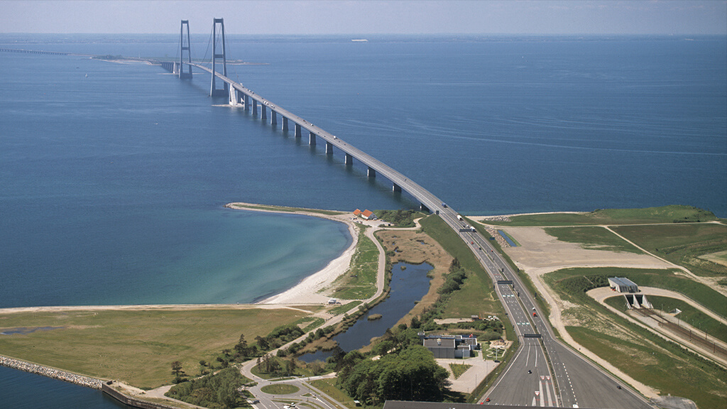
The construction of the Great Belt Fixed Link became the largest construction project in Denmark at that time. Connecting Zealand and Sprogø island, which are 18 kilometers (11 miles) apart, it requires a double-track railway bridge (west bridge), a four-lane highway (east bridge) and a railway tunnel (east tunnel).
East Bridge (Great Belt Bridge)
The East Bridge is a 4-lane road suspension bridge linking Halsskov and Sprogø, built between 1991 and 1998.
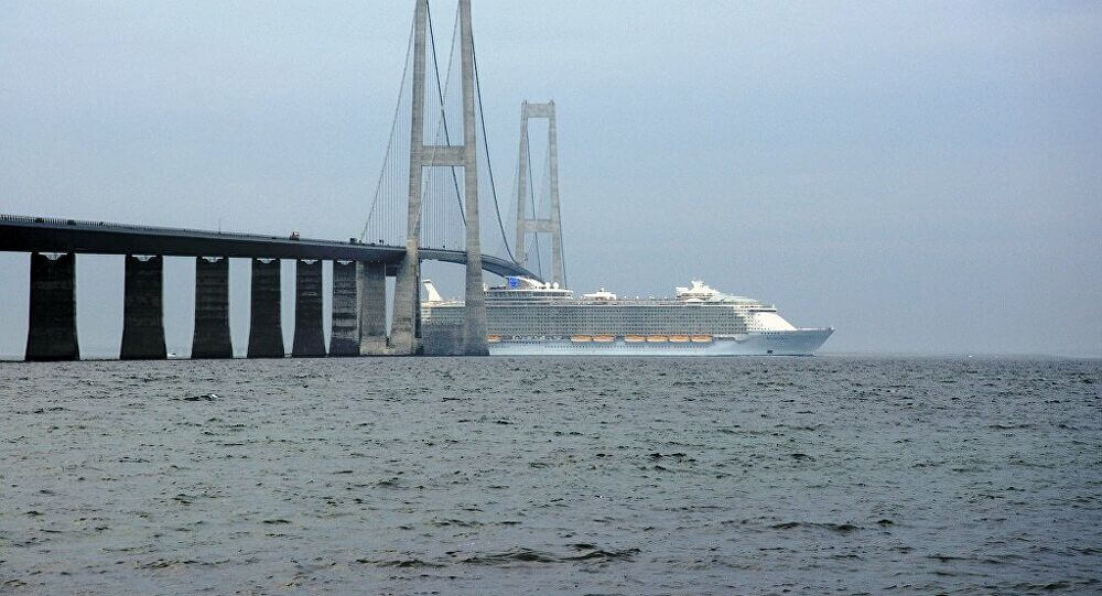
It is 4.2 mi (6.8 km) long and has a longest span of 1,624 meters (5,328 feet). The bridge deck is 65 meters (213 feet) high and can pass large ships.
West Bridge (including railway bridge and highway bridge)
West Bridge (Vestbroen) is a box girder bridge between Sprogø and Knudshoved. West Bridge was built between 1988 and 1994.
It is 4.1 mi (6.6 km) long. The bridge deck height is 18 meters (59 feet).
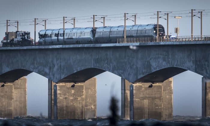
In fact, it is two separate adjacent bridges: the one in the north is for railway traffic, and the south is for road traffic.
The pillars of the two bridges are located on a common foundation below sea level. Its road/rail deck consists of 63 sections, supported by 62 pillars.
East tunnel
The double-tube tunnel of the East Tunnel (Østtunnelen) is 8,024 m (5 miles) long. There are 31 connecting tunnels between the two main tunnels with an interval of 250 meters (820 feet).
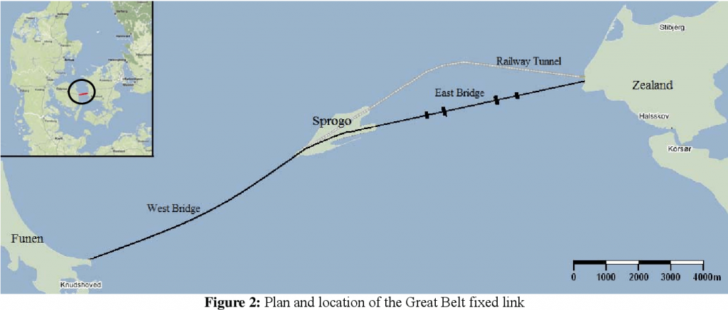
The train crosses the strait through the east tunnel and west bridge.
The car crosses the strait through the Great Belt Bridge (East Bridge) and West Bridge.
Great Belt Bridge Data
- Country
- Denmark
- Region
- North Europe
- Status
- In use
- Official name
- Østbroen
- Other name(s)
- Østbroen, Vestbroen, Østtunnelen
- Contractor
- Hochtief, Skanska, Højgaard & Schultz and Monberg & Thorsen
- Designer(s)
- COWI & Ramboll
- Official website
- storebaelt.dk
- Maintained by
- A/S Storebælt
- Cost
- dkk 21.4 billion (US $3.5 billion )
- Began
- 1988
- Construction end
- 1998
- Opened
- Jun-14, 1998
- Total length
- 11.2 mi ( 18 km )
- tall
- 841 ft ( 256.3 m )
- Bridge section length
- 8.3 mi ( 13.4 km )
- Width
- 102 ft ( 31 m )
- Deck height
- 213 ft ( 65 m )
- Longest span
- 5328 ft ( 1624 m )
- Design type
- Suspension bridge, Box girder bridge
- Toll
- 240.00 DKK ($36.40) per car
- Crosses
- Great Belt
View Great Belt Bridge on Google Satellite Map
Google satellite maps allow you to see building details more clearly, including natural landscapes such as mountains, rivers, deserts, sea and man-made engineering buildings.
If you are very interested in this engineering building, it is a good idea to click below Google Map icon. We will help you jump to the corresponding location of this building or engineering on Google satellite map.


