Longtan Hydropower Station(Chinese:龙滩水电站)is located 15 kilometers upstream of Tian’e County, Guangxi, China.
Longtan Dam is a landmark project of China’s “West to East Power Transmission”. It is the key project of the “Western Development” plan.
The power station started construction on July 1, 2001, and all of them were put into production by the end of 2009.
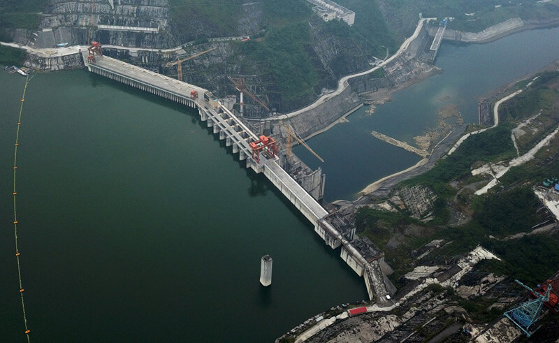
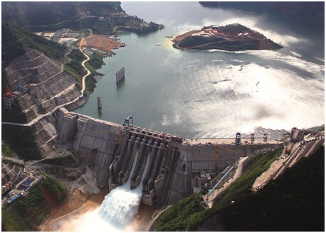
The design water storage level is 400 meters, the dam height is 216.5 meters, the dam crest length is 836 meters, the storage capacity is 27.3 billion cubic meters, the installed capacity is 6.3 million kilowatts, and the annual power generation is 18.7 billion kilowatt-hours.
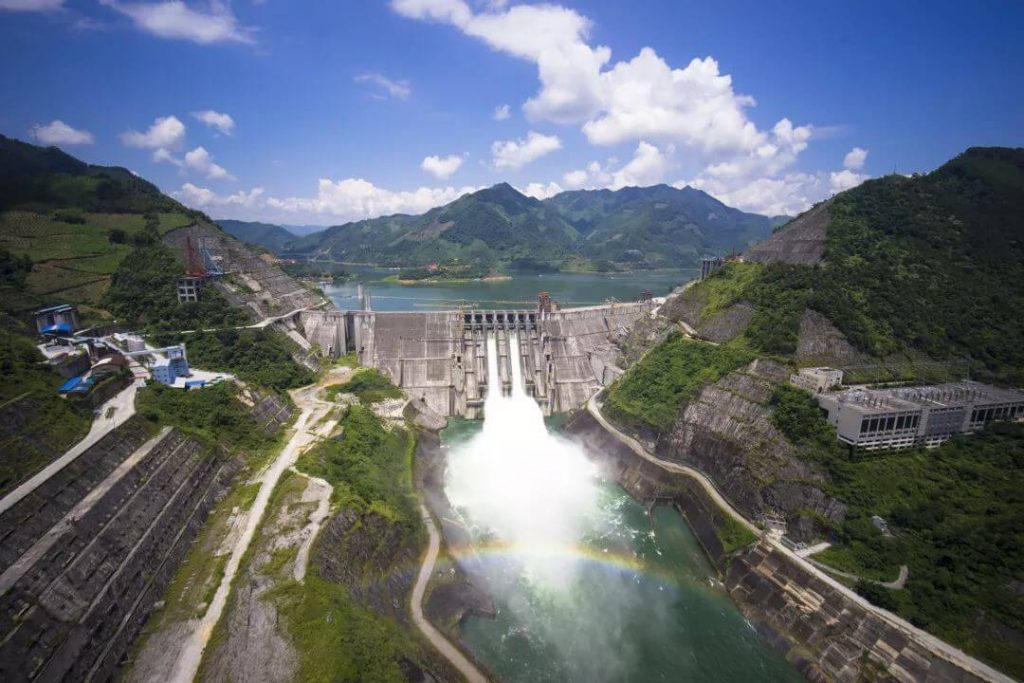
Construction history
- July 1, 2001: Construction of the main structure of the Longtan Dam began.
- November 6, 2003: The river was closed.
- September 30, 2006: The dam’s sluices are closed, and the reservoir begins to store water.
- July 1, 2007: The first unit started generating electricity.
- December 2009: All 7 devices were put into power generation operation.
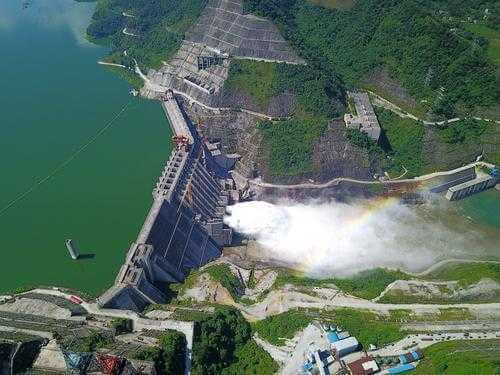
Brief introduction of Longtan Water Control Project
World record of Longtan Hydropower Station (as of 2020):
- The world’s highest RCC dam, with a height of 216.5 meters and a crest length of 836 meters.
- The world’s largest underground powerhouse. The main powerhouse is hidden in the hillside. The powerhouse is 388.5 meters long, 28.5 meters wide, and 74.4 meters high.
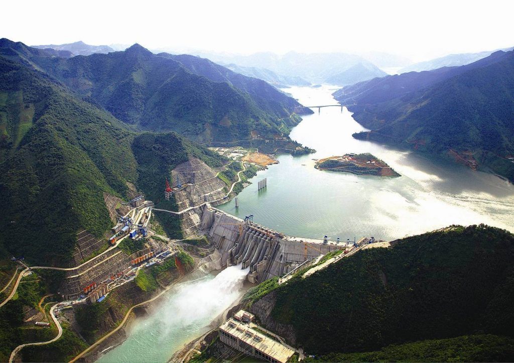
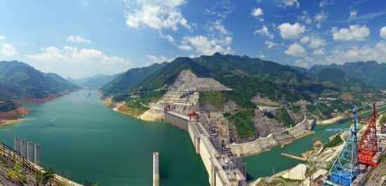
Longtan ship-lift
On February 12, 2015, the construction of the Longtan shiplift began. The construction period is expected to be 72 months (more than 5 years). After completion, it will become the world’s highest shiplift.
The ship lift has a maximum lifting height of 179 meters and a total length of 1700 meters. The total investment amounts to 2.6 billion Chinese yuan. (About 700 million USD)
The ship lift and navigation structure are arranged on the right bank of the Longtan Dam. The second-level vertical ship lift is adopted, and the largest ship passing the dam is planned to be 500 tons.
The navigable dam has a total width of 88 meters, a total length of 1800 meters, and a maximum lifting height of 179 meters. It adopts a two-stage full-balanced vertical shiplift.
Flood control benefits
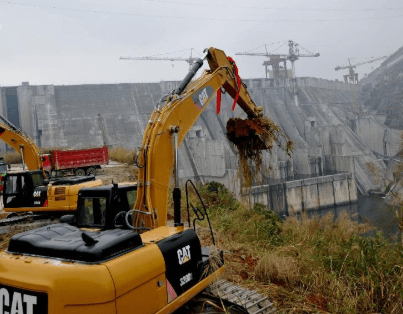
The normal storage level of Longtan Water Conservancy is 400 meters, with a total reservoir of 27.3 billion cubic meters, which can intercept 8500 cubic meters of floods per second.
Longtan Grand Canyon National Forest Park
Located in the west of Tian’e County, 6 kilometers away from the county, the area is 20 square kilometers. The altitude ranges from 600 meters to 1000 meters, with abundant rainfall and a pleasant climate.
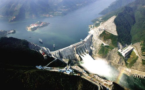
The forest coverage rate is over 95%, the forest is intact, the ancient trees are towering, and there are many kinds of organisms. There are nearly 30 national first- and second-class key protected plants such as Cymbidium, Golden Camellia, Palmleaf, Rendou, Camptotheca, and Serum, 600 A variety of higher plants.
There are many rare animals such as golden pheasant, forest musk, flying cat, macaque, civet, etc., which can be called a treasure trove of species.
In addition, the Longtan Grand Canyon, the most spectacular grand canyon in the Pearl River Basin, can be viewed from the canyon viewing platform.
Longtan Dam Data
- Country
- China
- Location
- Tian’e County, Guangxi
- Official name
- 龙滩水电站
- Operator(s)
- Longtan Hydropower Development Co., Ltd.
- Purpose
- Power, flood control
- Cost
- US $4.2 billion ( ¥28.3 billion )
- Status
- In use
- Type of dam
- RCC dam
- Began
- Jul-01, 2001
- Opening date
- Jul-01, 2007
- Subject completion
- Dec, 2009
- Total Duration
- 9 years/dd>
- Height
- 216.2 m (709 ft)
- Length
- 849 m (2,785 ft)
- Installed capacity
- 6,426 MW
- Turbines
- 9 × 714 MW Francis-type
- River
- Hongshui River
- Reservoi name
- Longtan Reservoir
- Total capacity
- 27,270,000,000 m³ (22,108,149 acre ft)
- Active capacity
- 20,530,000,000 m³ (16,643,942 acre ft)
- Catchment area
- 98,500 km² (38,031 sq mi)
- Reservoi Surface elevation
- 400 m (1,312 ft)
View Longtan Dam on Google Satellite Map
Google satellite maps allow you to see building details more clearly, including natural landscapes such as mountains, rivers, deserts, sea and man-made engineering buildings.
If you are very interested in this engineering building, it is a good idea to click below Google Map icon. We will help you jump to the corresponding location of this building or engineering on Google satellite map.
View Longtan Dam on 720yun
720yun is a panoramic image service provider, where you can see the panoramic image of the Engineering Building, let you know more about the Engineering Building.


