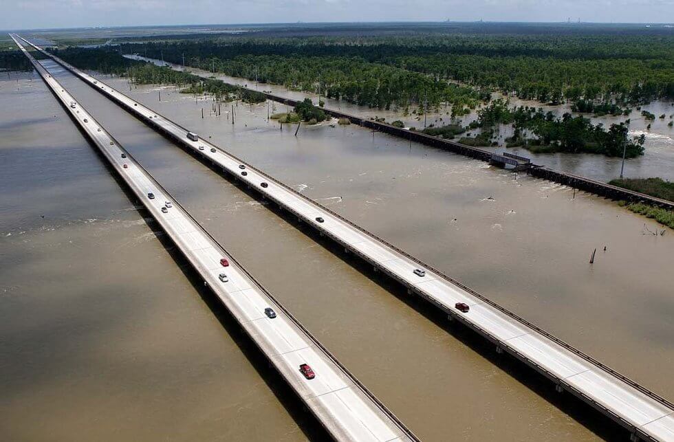
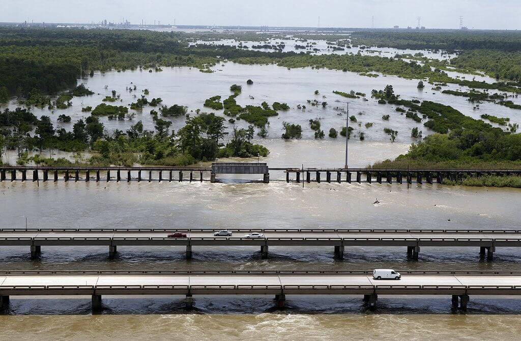
The I-10 Bonnet Carré Spillway Bridge is located in the Parish of St. Charles in southeastern Louisiana, USA. It is part of the Louisiana Interstate 10 (I-10) highway. It connects Baton Rouge and New Orleans.
The bridge is 11 mi (17.7 km) long and opened in 1972. This bridge is a double concrete trestle bridge built along Lake Pontchartrain. It passes through the intersection of Bonnet Carré Spillway and Lake Pontchartrain. It is one of the longest bridges in the world.
History
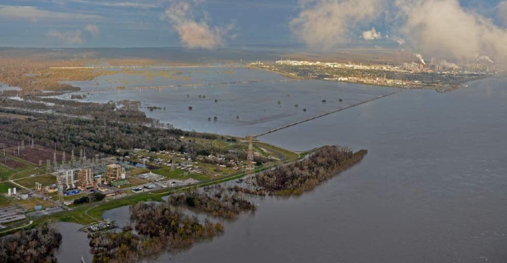
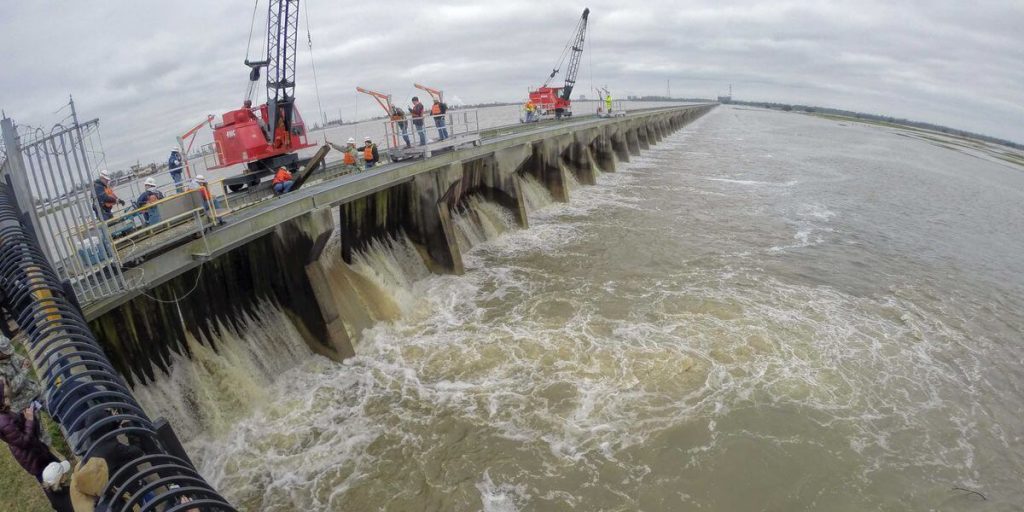
The Bonnet Carré Spillway was built after a flood in 1927 and was completed in 1931. The floodwater diverted from the Mississippi River into Bonnet Carré Spillway, through Spillway into Lake Pontchartrain, and finally into the Gulf of Mexico.
In 1935, Bonnet Carré Spillway built the U.S. 61 Bonnet Carré Spillway Bridge. This 3-lane bridge is part of U.S. Route 61. However, this bridge is only 6,006 ft (1,831 m) long. It is the first bridge built at Bonnet Carré Spillway.
In 1972, the I-10 Bonnet Carré Spillway Bridge was opened as part of Louisiana Interstate 10. It is one of the longest bridges in the United States.
Building technical parameters
The I-10 Bonnet Carré Spillway Bridge has a total length of 11 mi (17.7 km). It is two parallel concrete trestle bridges. Each bridge has two lanes. The bridge is 45 ft (13.6 m) wide. It is the Louisiana Interstate 10 (I- 10) 4-lane highway.
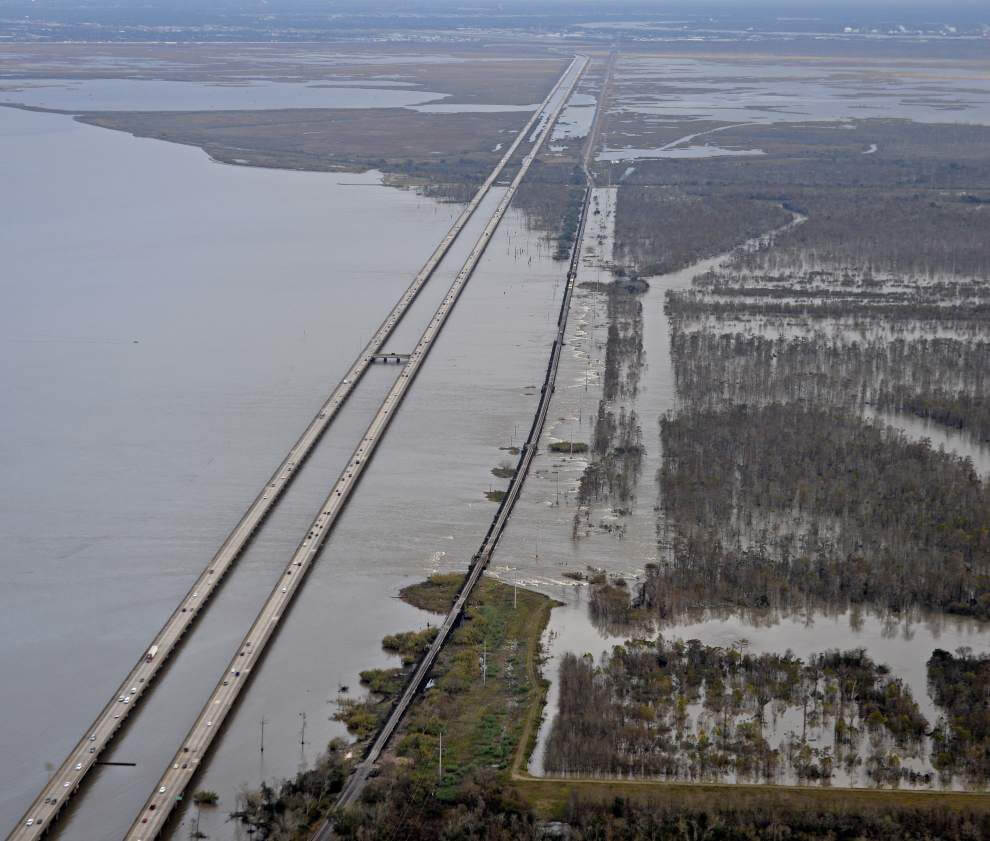
It traverses 3 waters of LaBranche Wetlands, Bonnet Carré Spillway and Lake Pontchartrain at the same time.
Bonnet Carre Spillway is also a tourist area, a wildlife management area in Louisiana. People can picnic, boat, hike, bike, hunt and fish here. I-10 Bonnet Carré Spillway Bridge is one of the paths leading to this place.
I-10 Bonnet Carré Spillway Bridge Data
- Country
- America
- Region
- North America
- Status
- In use
- Location
- Between Baton Rouge and New Orleans, Louisiana, USA
- Operator
- Louisiana Department of Transportation and Development (LaDOTD)
- Opened
- 1972
- Total length
- 11 mi ( 17.7 km )
- Width
- 45 ft ( 13.6 m )
- Road scale
- 4 lanes
- Crosses
- LaBranche Wetlands, Bonnet Carré Spillway, Lake Pontchartrain
View I-10 Bonnet Carré Spillway Bridge on Google Satellite Map
Google satellite maps allow you to see building details more clearly, including natural landscapes such as mountains, rivers, deserts, sea and man-made engineering buildings.
If you are very interested in this engineering building, it is a good idea to click below Google Map icon. We will help you jump to the corresponding location of this building or engineering on Google satellite map.


