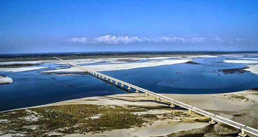
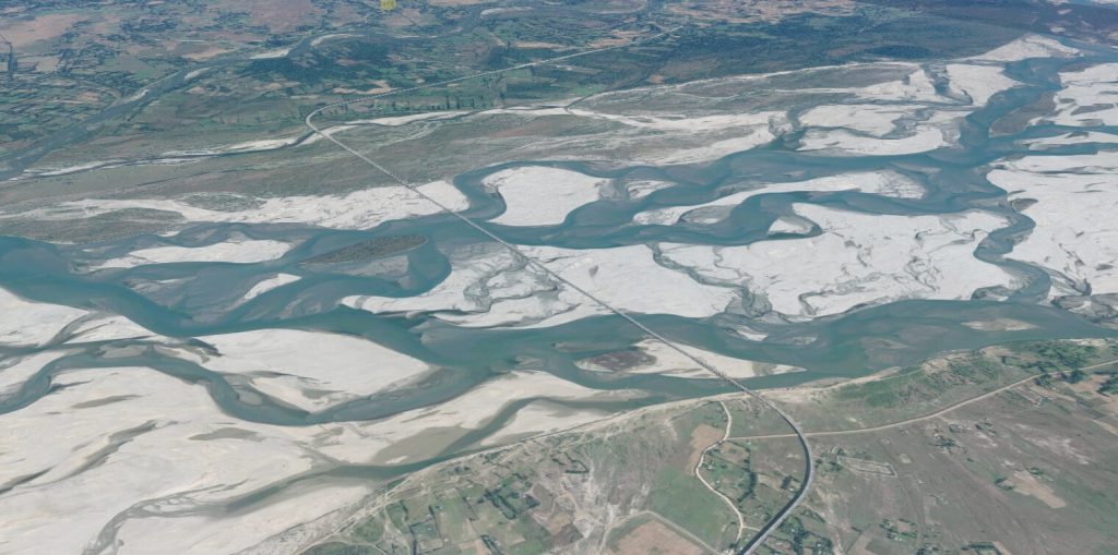
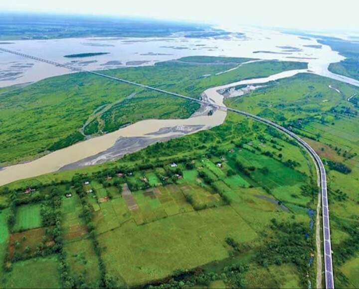
Dhola–Sadiya Bridge is located between the states of Assam and Arunachal in northeastern India. It crosses the Lohit River, a tributary of the Yarlung Zangbo River, and is close to the border of Tibet in China.
The length of the bridge is 5.7 mi (9.2 km), and the length of the part crossing the Lohit River is 2.1 mi (3.4 km). It started construction in November 2011 and opened on May 26, 2017. It cost 10 billion rupees (US $140 million ).
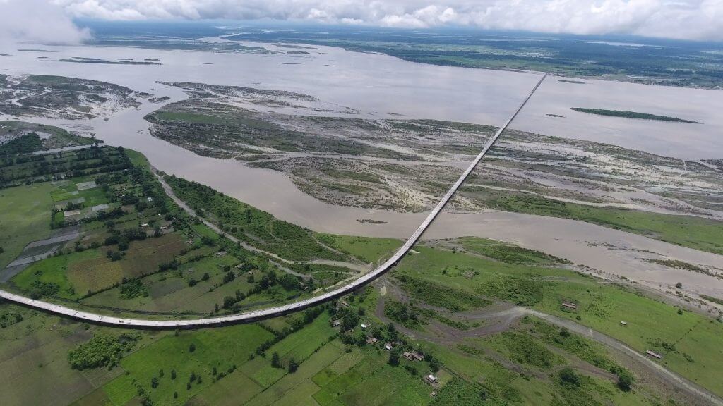
The bridge is located near the focal area of the Sino-Indian conflict, and is an important transportation route for India’s military deployment to China. The Dhola–Sadiya Bridge is designed to withstand the weight of 60 tons (130,000 pounds) of tanks, such as the Arjun and T-72 main battle tanks of the Indian Army.
History
- August 2003: The Indian government began to conduct a feasibility study for this project.
- January 2009: As part of the road infrastructure plan in Arunachal Pradesh, the bridge was approved by the Indian government for construction.
- November 2011: Construction of the bridge officially started. It is initially expected to be completed in 2015. However, due to construction delays and increased costs, the completion date of the bridge was postponed to 2017.
- March 10, 2017: The construction of the bridge was officially completed.
- May 26, 2017: Indian Prime Minister Modi attended the opening ceremony of the bridge, which was officially named Dhola–Sadiya Bridge. In memory of artist Bhupen Hazarika of Sadiya town in Assam.
Building technical parameters
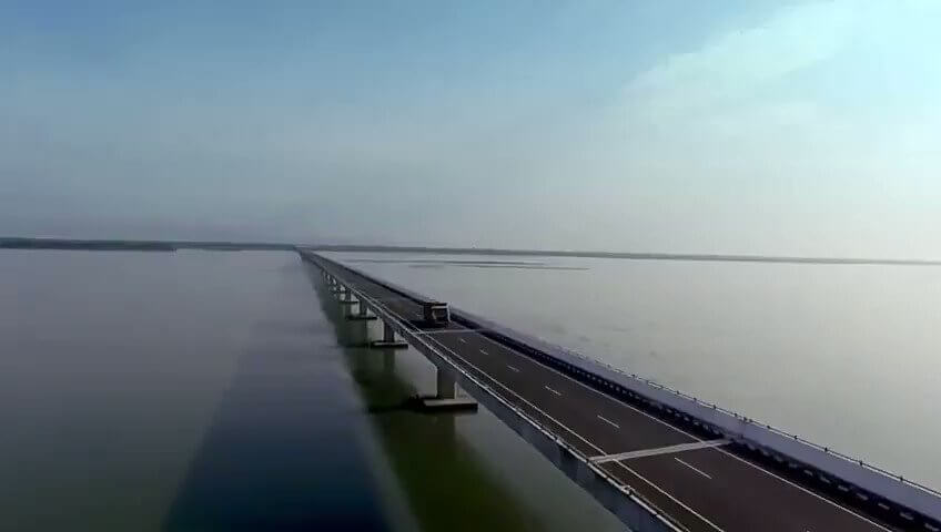
The length of the bridge is 5.7 mi (9.2 km), and the length of the part crossing the Lohit River is 2.1 mi (3.4 km). Its longest span is 164 ft (50 m).
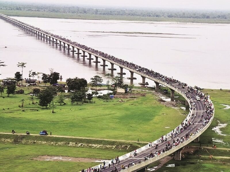
The bridge deck is 42 ft (12.9 m) wide, with 2 lanes and 2 emergency lanes. As a dual-use bridge, the bridge can pass armored forces such as tanks.
The role and significance of the bridge
Sadiya in northeastern India used to be a prosperous town, but after the earthquake in the 1950s, the route of the Brahmaputra was changed, which disrupted Sadiya’s traffic routes and severely hindered Sadiya’s economic development.
In the 2010s, as the border friction between India and China escalated, India urgently needed to strengthen its control over the northeast border and improve its material and military transportation capabilities. Dhola–Sadiya Bridge came into being.
The construction of this bridge brought Sadiya back into the embrace of India.
Dhola–Sadiya Bridge Data
- Country
- India
- Region
- South Asia
- Status
- In use
- Location
- Dhola–Sadiya, Assam, India
- Operator
- Ministry of Road Transport and Highways Navayuga Engineering Company
- Cost
- 10 billion rupees ( US $140 million )
- Began
- Nov, 2011
- Construction end
- Mar-10, 2017
- Opened
- May-26, 2017
- Total length
- 5.7 mi ( 9.2 km )
- Length over water
- 2.1 mi ( 3.4 km )
- Width
- 42 ft ( 12.9 m )
- Longest span
- 164 ft ( 50 m )
- Design type
- Beam bridge
- Road scale
- 2 lanes
- Crosses
- Lohit River
View Dhola–Sadiya Bridge on Google Satellite Map
Google satellite maps allow you to see building details more clearly, including natural landscapes such as mountains, rivers, deserts, sea and man-made engineering buildings.
If you are very interested in this engineering building, it is a good idea to click below Google Map icon. We will help you jump to the corresponding location of this building or engineering on Google satellite map.


