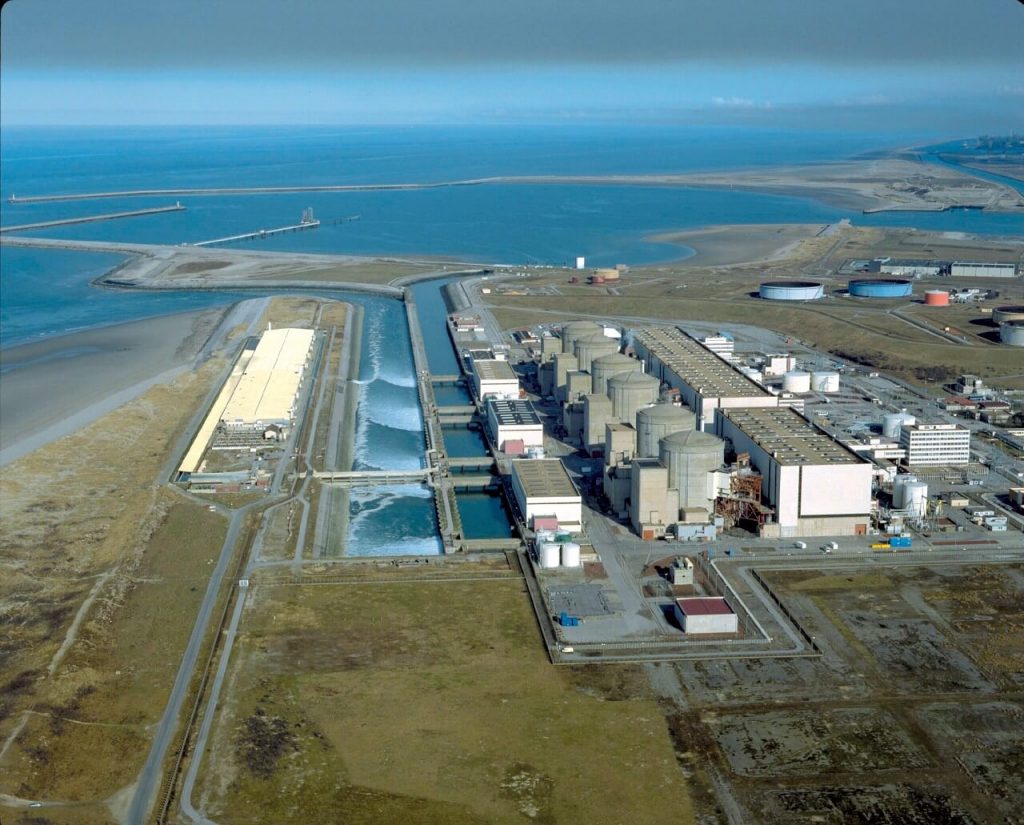
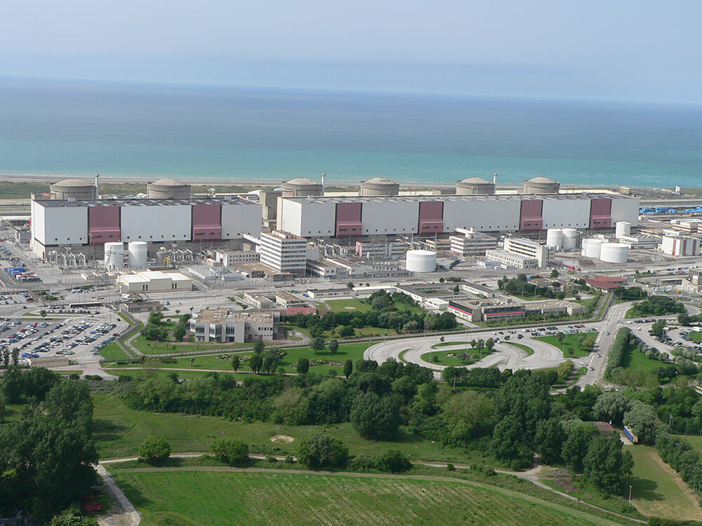
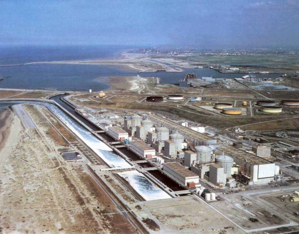
Gravelines Nuclear Power Station ( French: Centrale Nucléaire de Gravelines ) is located on the French coast, between Calais and Dunkirk, 48km from Dover. Gravelines Nuclear Power Station has an installed capacity of 5,460MW, which is the largest nuclear power plant in France.
Owned and operated by the French state-owned utility Electricite De France (EDF), the Gravelines Nuclear Power Plant comprises six 910MW pressurised water reactors (PWR) units commissioned between 1980 and 1985.

Built on a 150ha-site in northern France, the six-reactor facility delivered its 1,000 billionth kilowatt-hour of electricity in 2010.
The Gravelines Nuclear Power Station is one of the largest nuclear power stations in the world. It is located near the commune of Gravelines in Nord, France, approximately 20 km (12 mi) from Dunkerque and Calais.
Its cooling water comes from the North Sea. The plant consists of 6 nuclear reactors of 900 MW each. In 2017 the plant produced 31.67 TWh of electric energy, 5.9% of French electricity production.

Two reactors entered service in 1980, two in 1981, and two in 1985.
The site employs 1,680 regular employees. As of 2 August 2010, it became the first nuclear station anywhere in the world to produce over one thousand terawatt-hour of electricity.

Gravelines Nuclear Power Station Data
- Country
- France
- Region
- Western Europe
- Status
- In use
- Official name
- Centrale Nucléaire de Gravelines
- Location
- Gravelines, Nord, France
- Operator(s)
- Electricite de France S.A.
- Began
- 1974
- Opened
- Mar-13, 1980
- Installed capacity
- 5460 MW
- Units operational
- 6 × 910 MW
- Reactor type
- PWR
- Reactor supplier
- Framatome
- Cooling source
- North sea
View Gravelines Nuclear Power Station on Google Satellite Map
Google satellite maps allow you to see building details more clearly, including natural landscapes such as mountains, rivers, deserts, sea and man-made engineering buildings.
If you are very interested in this engineering building, it is a good idea to click below Google Map icon. We will help you jump to the corresponding location of this building or engineering on Google satellite map.


