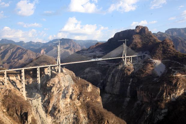
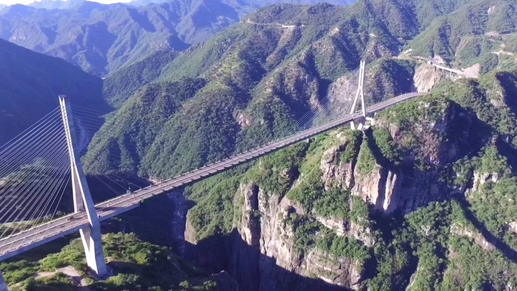
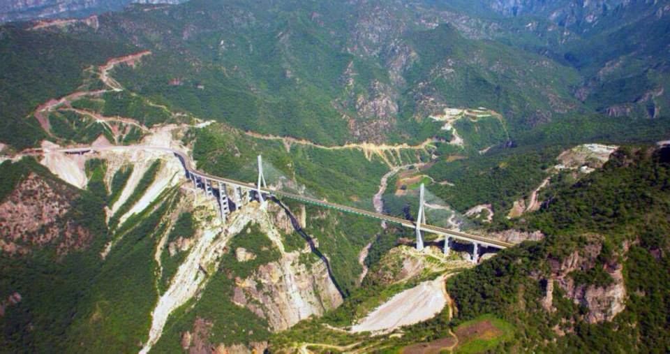
Baluarte Bridge ( Spanish: Puente Baluarte ) is a cable-stayed bridge near El Palmito, Mexico. The official name is Baluarte Bicentennial Bridge. It is the bridge commemorating the 200th anniversary of Mexico’s declaration of independence from Spain.
The total length of the Baluarte Bridge is 1,124 m (3,688 ft) and the longest span is 520 m (1,710 ft). The deck height of Baluarte Bridge is 1,322 ft (403 m), which is the tallest bridge in the Americas.
The construction of the bridge began on February 21, 2008, was put into use in January 2012, and was put into use at the end of 2013.
It total cost 2.18 billion pesos (US $158 million ).

Technical parameter
The 4-lane of Baluarte Bridge is 20 meters (66 feet) wide and 1,124 m (3,688 ft) long. The height of the bridge to the bottom of the Baluarte River is 1,322 ft (403 m). The height of the deck to the Baluarte river is 390m (1,280 ft).
Each of the 2 main towers measures 18 x 8.56 meters (59.1 x 28.1 feet) at the bottom, widened in the center to carry the tunnel, and then gradually narrowed to 8 x 4.10 meters (26.2 x 13.5 feet) at the top.

The P5 of the Baluarte Bridge is the tallest tower with a height of 169 meters (554 feet). There are 152 booms, of which the main span is 520m long.
76 steel cables pass through the saddle in the tower to form 152 two-plane and half-fan layout hangers. The middle pier P9 is 148m (486 ft) high.
As of January 2012, the construction of the bridge required 1,500 workers and engineers, 12,000 tons of steel and 90,000 cubic meters (118,000 cubic yards) of concrete. 447,000 cubic meters (584,700 cubic yards) of rock was excavated, laying the foundation for the bridge.

Baluarte Bridge Data
- Country
- Mexico
- Region
- Central America
- Status
- In use
- Official name
- Puente Baluarte
- Other name(s)
- Baluarte Bicentennial Bridge
- Location
- Concordia in Sinaloa and Pueblo Nuevo in Durango, Mexico
- Cost
- 2.18 billion pesos (US $158 million )
- Began
- Feb-21, 2008
- Construction end
- Jan-05, 2012
- Opened
- late 2013
- Total length
- 3688 ft ( 1124 m )
- tall
- 554 ft ( 169 m )
- Width
- 65 ft ( 19.8 m )
- Deck height
- 1322 ft ( 403 m )
- Longest span
- 1706 ft ( 520 m )
- Design type
- Prestressed concrete Cable-stayed bridge
- Road scale
- 4 lanes
- Crosses
- Baluarte River
View Baluarte Bridge on Google Satellite Map
Google satellite maps allow you to see building details more clearly, including natural landscapes such as mountains, rivers, deserts, sea and man-made engineering buildings.
If you are very interested in this engineering building, it is a good idea to click below Google Map icon. We will help you jump to the corresponding location of this building or engineering on Google satellite map.


