Frank Davis Memorial Bridge is located at the eastern end of Lake Pontchartrain in Louisiana, USA. It connects New Orleans to Slidell. It is also called I-10 Twin Span Bridge.
The bridge is 5.5 mi (8.9 km) long. The bridge is composed of 2 parallel trestle bridges, each with 3 lanes, with a total of 6 lanes. It cost US $803 million.
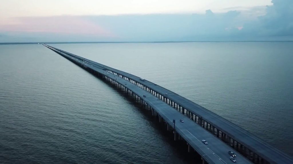
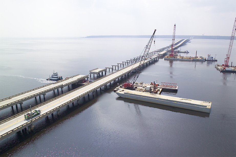
The construction of the bridge began on July 13, 2006, the east bridge was opened on July 9, 2009, and the west bridge was opened on April 7, 2010. The entire bridge finally opened all six lanes on September 9, 2011. This bridge is a replacement for the original bridge that was damaged by Hurricane Katrina on August 29, 2000.
Soon after the new bridge opened, the original double-span bridge was demolished. A small part is still used as a public fishing pier for Slidell. The debris from the demolition was used to line the bottom of the nearby lake as an underwater coral reef.
History
Original bridge
- December 21, 1965: The old bridge was completed and opened. It also consists of two parallel arrangements.
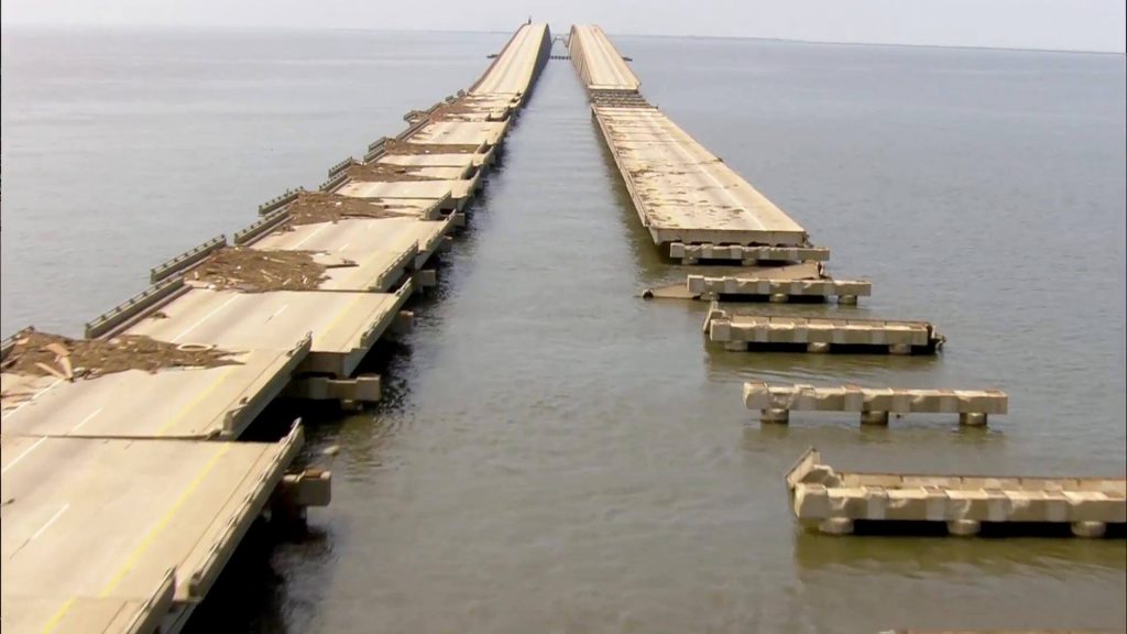
- August 29, 2000: The original bridge was damaged by Hurricane Katrina.
- October 10, 2005: The east span reopened, with only one lane in each direction.
- January 6, 2006: The west span of the bridge was reopened and all four lanes were opened to traffic again, but the traffic speed dropped to 45 miles/h (72 km/h).
I-10 Twin Span Bridge
- July 13, 2006: Construction of a new bridge began, named I-10 Twin Span Bridge.
- July 9, 2009: Among the two parallel bridges, first bridge’s eastbound opened to traffic.
- April 7, 2010: the second span was opened to traffic and the old twin spans were permanently closed to traffic.
- September 9, 2011: All six lanes of the I-10 Twin Span Bridge opened to traffic.
- On August 1, 2014, the bridge was officially named Frank Davis “Naturally N’Awlins” Memorial Bridge in memory of Frank Joseph Davis, a former WWL-TV news figure who often fished near the bridge.
Building technical parameters
Original double span
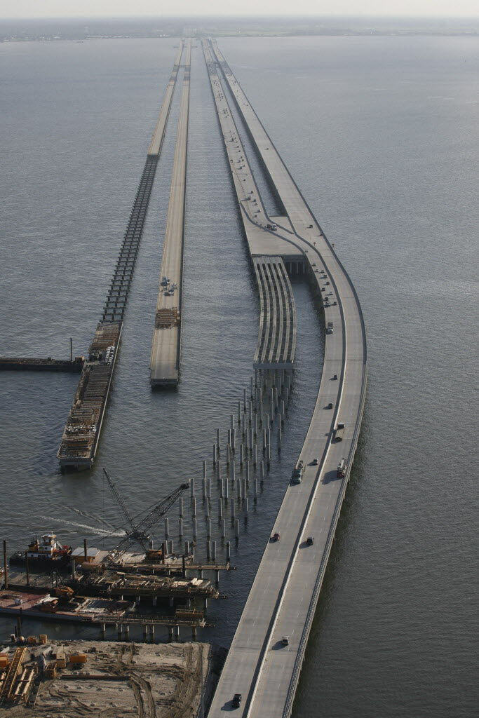
Each of the original double-span bridges opened to traffic in 1965 consisted of 433 65-foot-long concrete sections. Each span is 2 lanes, and they are separated by 8.5 feet (2.6 m) on most bridges and 65 feet (20 m) on open bridge sections.
Frank Davis Memorial Bridge
After suffering extensive damage from Hurricane Katrina, it was decided that the old double-span was too susceptible to storm surges. The long-term solution was to build two new spans.
The project broke ground on July 13, 2006, with the construction of two new bridges 300 feet (91 m) east of the old bridge.
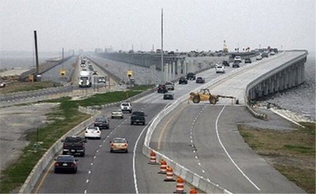
The bridge is 5.5 mi (8.9 km) long and all parts of the bridge are on the water, so its Bridge section length and Length over water are also 5.5 mi (8.9 km).
Bridge Deck elevation is 30 feet (9.1 m), But at the bascule bridge section Bridge Deck elevation is 80-foot (24 m), to facilitate the passage of ships.
The bridge consists of 2 parallel trestle bridges, each with 3 lanes (lane width 12 ft / 3.7 m), with a total of 6 lanes. The width of each trestle bridge deck is 59 ft (18 m), which cost US $803 million.
The new I-10 Twin Span Bridge also features traffic cameras and electronic message boards to warn drivers of any potential problems on the bridge, just like the Lake Pontchartrain Causeway.
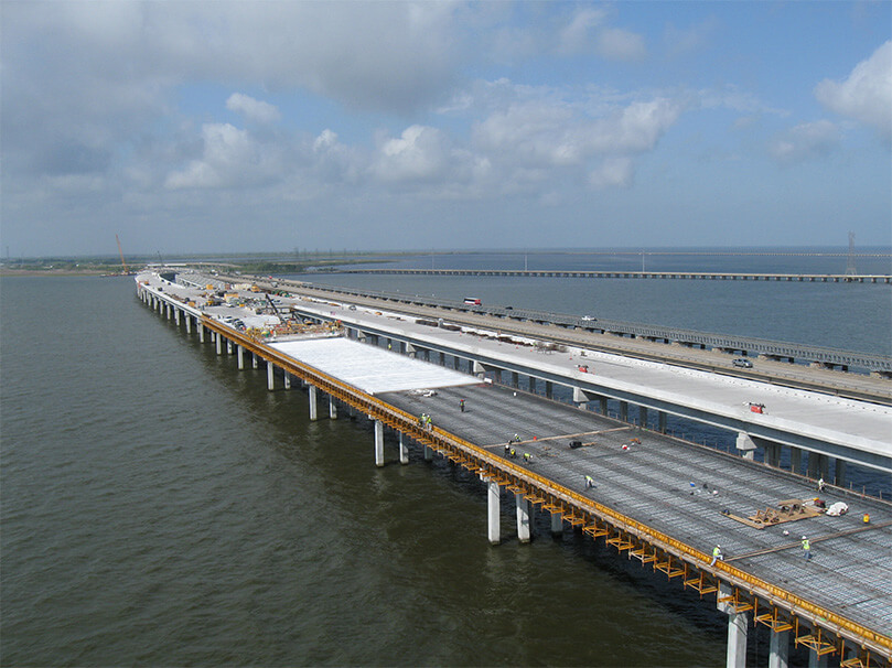
Frank Davis Memorial Bridge Data
- Country
- America
- Region
- North America
- Status
- In use
- Official name
- Frank Davis Memorial Bridge
- Other name
- I-10 Twin Span Bridge, Frank Davis “”Naturally N’Awlins”” Memorial Bridge
- Location
- New Orleans and Slidell, Louisiana, USA
- Operator
- Louisiana Department of Transportation and Development (LaDOTD)
- Cost
- US $803 million
- Began
- Jul-13, 2006
- Opened
- July 9, 2009 (eastbound) April 7, 2010 (westbound) September 9, 2011 (completed)
- Total length
- 5.5 mi ( 8.9 km )
- Length over water
- 5.5 mi ( 8.9 km )
- Bridge section length
- 5.5 mi ( 8.9 km )
- Width
- 59 ft ( 18 m )
- Deck height
- 30 ft ( 9.1 m )
- Deck elevation
- 30 feet (9.1 m) and 80-foot (24 m) at the bascule bridge section
- Road scale
- 6 lanes
- Crosses
- Lake Pontchartrain
View Frank Davis Memorial Bridge on Google Satellite Map
Google satellite maps allow you to see building details more clearly, including natural landscapes such as mountains, rivers, deserts, sea and man-made engineering buildings.
If you are very interested in this engineering building, it is a good idea to click below Google Map icon. We will help you jump to the corresponding location of this building or engineering on Google satellite map.


