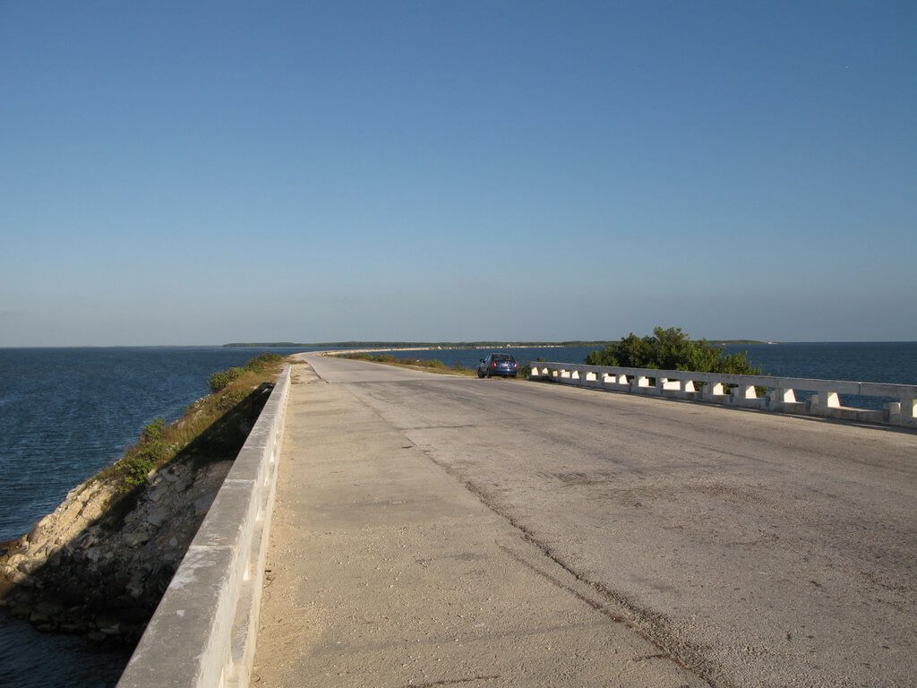
Pedraplén a Cayo Santa María is a section of the road on the sea. Because its bridge part is too short, only 1.4 mi (2.3 km), it is not a real bridge project. so it was not selected into the Top 10 longest water bridges and Top 10 longest cross-sea bridges on our website.
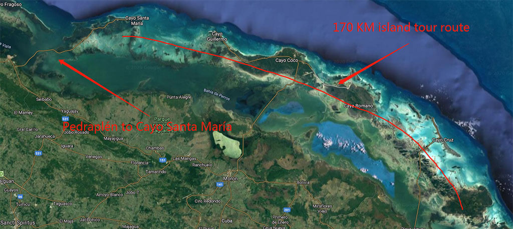
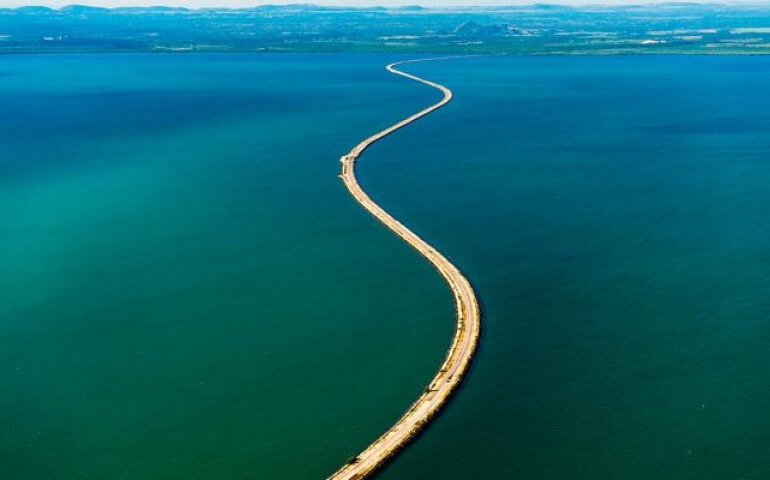
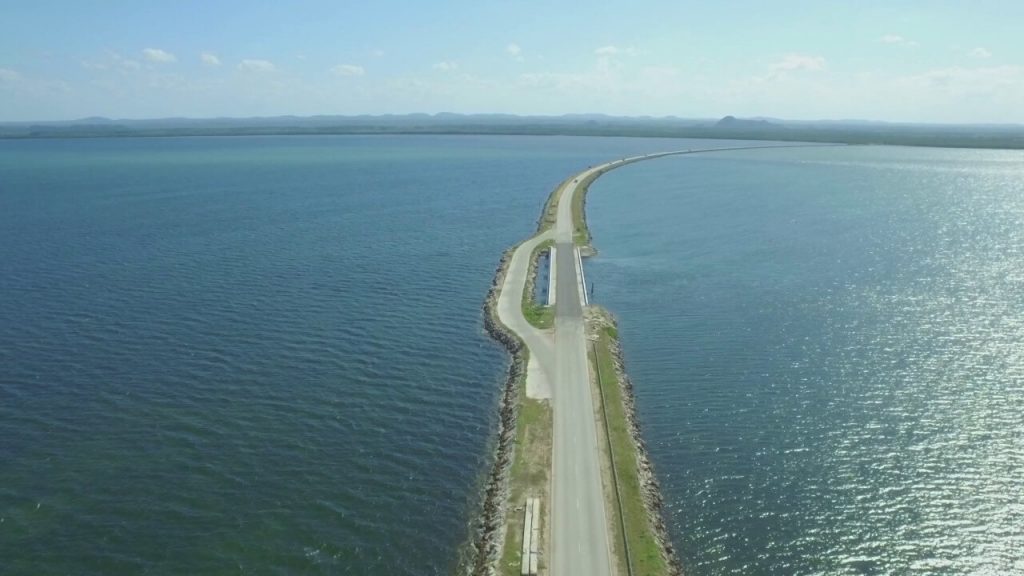
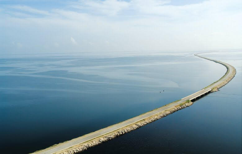
Pedraplén to Cayo Santa María is located in Buena Vista Bay in the northeast of Cuba’s Villa Clara, also known as Pedraplén de Caibarién. It connects the island of Cayo Santa María with the city of Caibarién on the main continent of Cuba. It is 29.8 mi (48 km) long. It is one of the famous attractions of Villa Clara Keys.
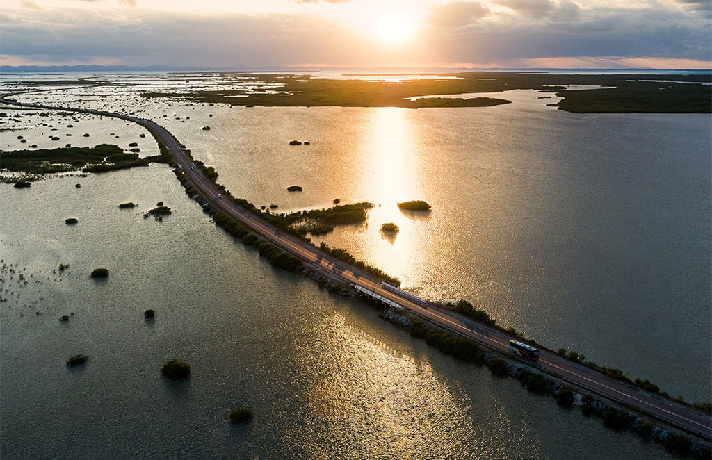
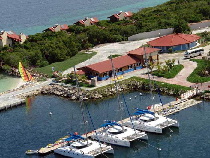
The archipelago to the northeast of Villa Clara is one of the best preserved areas in Cuba, with a variety of precious flora and fauna and beautiful beaches. After the completion of Pedraplén a Cayo Santa María, the islands of Cayo Las Brujas and Cayo Santa María are included in the entire island tourism system, and the Cayo Romano islands are combined to form an island tourism route with a length of 105 mi (170 km) or more. One of the most beautiful tourist destinations in Cuba.
History
Birth background
Since the middle of the 19th century, the only mode of transportation from Caibarién to the Sabana-Camagüey Islands has been ferry. The Cuban people hope to build a new sea road.
On May 16, 1916, Cuban newspapers at the time published articles about the construction of the railway from Caibarién to French Key.
- September 12, 1989: Fidel Castro Ruz, commander-in-chief of Cuba, visited the northeast key of Villa Clara. The first construction brigade was established, which consisted of 46 road construction teams.
- September 26, 1989: Started connecting Conuco Cay and Caibarién coastline to prepare for the entry of the construction team.
- October 11, 1989: The Executive Committee of the Cuban Council of Ministers approved the road design.
Construction process
Phase 1
- December 15, 1989: Construction of the project officially started, reclamation work began near Sierrezuela Mountain, and the first stone was filled into the sea.
- April 20, 1991: The 16.2 mi (26 km) road near pedraplén was completed.
- May 21, 1992: The 22.4 mi (36 km) road in the direction of pedraplén was completed.
- December 26, 1992: 17 bridges were completed.
- May 21, 1993: 24.2 mi (39 km) of roads and 19 bridges were completed.
- July 26, 1993: 2 new bridges were built, bringing the number of bridges to 21.
- April 14, 1994: The los Bacos Canal Bridge was completed with a total length of 1,148 ft (350 m). When it was completed, it was Cuba’s largest bridge at sea.
- December 15, 1994: Phase 1 project ended.
Phase 2
- December 1995: 34 bridges were built.
- December 4, 1998: In addition to the bridges corresponding to the canals of Las Huaraz and La Sotia, 44 bridges of the pedraplén route were completed.
- February 1999: Phase 2 of the project ended.
Opened
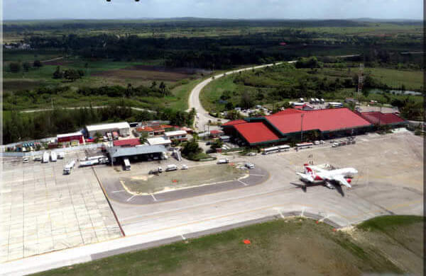
December 16, 1999: The airport (Cayo Las Brujas Airport BWW) and terminal at Cayo Las Brujas were opened. Villa Las Brujas on the island has also been completed and started to provide services for international tourism.
May 21, 2000: The paving of the sea road was completed, and the length of the road reached 29.8 mi (48 km).
Building technical parameters
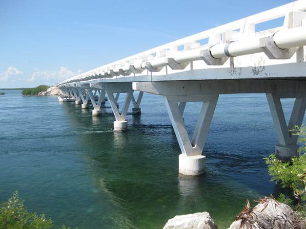
Pedraplén to Cayo Santa María has a road length of 29.8 mi (48 km) and 46 bridges. The Bridge section length is 1.4 mi (2.3 km) and the los Bacos Canal Bridge is 1148 ft (350 m) long. The bridge deck height of this bridge is 25 ft (7.7 m).
- The amount of limestone extracted from the quarry: 6,800,000 m³.
- Number of truck transports: 900,000.
- Limestone transportation distance: 25 million kilometers.
- Number of bridges: 46. (44 of them are on the sea and 2 are on the main continent).
- Bridge section length: 1.4 mi (2.3 km ).
- The volume of cast-in-place concrete and precast parts: 23,000.00 m³.
- Bridge type: Multiple types Mixed bridge.
Pedraplén a Cayo Santa María Data
- Country
- Cuba
- Region
- North America
- Status
- In use
- Official name
- Pedraplén a Cayo Santa María
- Other name
- El Pedraplen de caibarien, Pedraplén de Caibarién
- Location
- Between Caibarién and Cayo Santa María in Cuba
- Began
- Dec-15, 1989
- Construction end
- Feb, 1999
- Opened
- May-21, 2000
- Total Duration
- 11
- Total length
- 29.8 mi ( 48 km )
- Bridge section length
- 1.4 mi ( 2.3 km )
- main channel bridge Length
- 1148 ft ( 350 m )
- Deck height
- 25 ft ( 7.7 m )
- Design type
- Multiple types Mixed bridge and road
- Road scale
- 2 lanes
- Crosses
- Buena Vista Bay
View Pedraplén a Cayo Santa María on Google Satellite Map
Google satellite maps allow you to see building details more clearly, including natural landscapes such as mountains, rivers, deserts, sea and man-made engineering buildings.
If you are very interested in this engineering building, it is a good idea to click below Google Map icon. We will help you jump to the corresponding location of this building or engineering on Google satellite map.


