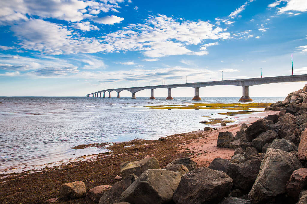
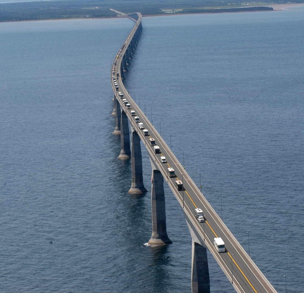
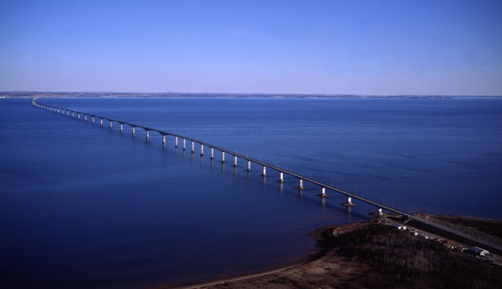
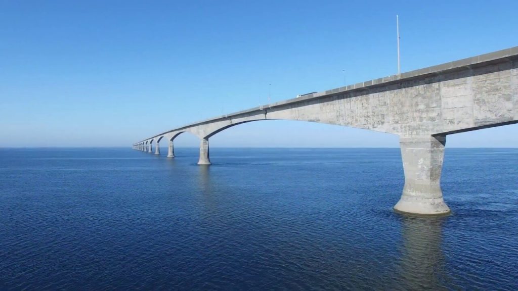
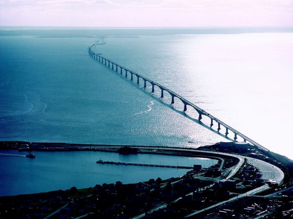
The Confederation Bridge is located in Northumberland Strait in eastern Canada. It is a cross-sea bridge connecting Borden-Carleton in Prince Edward Island and Cape Jourimain in New Brunswick.
The bridge is 8 mi (12.9 km) long and is a box girder bridge. It cost CAD $1.3 billion (about US $840 million). It began construction in October 1993 and officially opened on May 31, 1997. It is the longest bridge in Canada. Before the official naming, residents of Prince Edward Island often referred to the bridge as the “Fixed Link.”
History
Origin
- In 1873, Prince Edward Island wanted to join the federation and required the Canadian federal government to maintain material transportation and personnel exchanges to Prince Edward Island throughout the year.
In 1885, Prince Edward Island Senator George Howlan first proposed building a bridge to connect to the mainland. - Although the bridge will provide a faster and more reliable connection with the mainland, the decision to proceed has sparked intense debate on the island.
Planning
- By the late 1980s, as the federal government faced the increasing cost of subsidies for ferry to the island, Ottawa called on private companies to actively participate in the project.
- A referendum was held on January 18, 1988, and 59.5% of the islanders voted to build a bridge to the mainland. The Prince Edward Island government officially approved the project.
- Finally in 1993, the private consortium Strait Crossing Development Inc. will bear the cost of building, operating and maintaining the bridge. And enjoy the right to toll operation of this bridge for 35 years.
Construction process
- In the fall of 1993, construction of the Confederation Bridge began.
- From 1994 to the summer of 1996, the bridge was constructed throughout the year, and the main components of the bridge were transported from Europe in the fall of 1994 until the fall of 1996.
- On September 27, 1996, Ottawa announced the name of the bridge as “Federal Bridge”.
- In April 1997, the construction of the last toll station of the bridge was completed, marking the end of construction.
- It was officially opened on May 31, 1997, and the Confederation Bridge was officially opened. Approximately 75,000 people attended the celebration, and they visited this great project on the bridge.
Economic impact
- In 1998, Prince Edward Island’s tourism revenue increased by 63%, the number of tourists exceeded one million, and an estimated 1.6 million cars crossed the bridge. The bridge has a direct impact on the island’s economy.
- In recent years, residents of Prince Edward Island have become increasingly dissatisfied with the increased cost of using bridges.
Building technical parameters
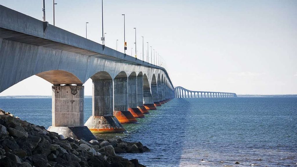
The Federal Bridge has a total length of 8 mi (12.9 km), a longest span of 820 ft (250 m), and a deck height of 131 ft (40 m). It cost CAD $1.3 billion (about US $840 million ).
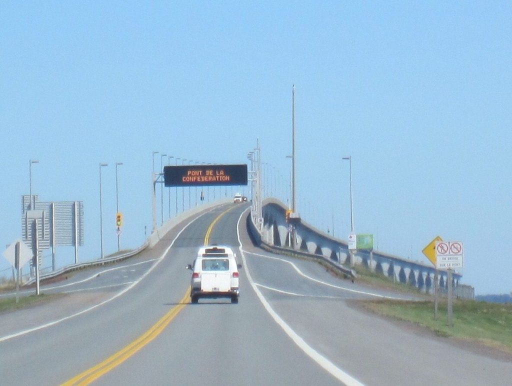
It crosses the Northumberland Strait and is a 2-lane sea-crossing bridge with a design speed of 80 km/h (50 mph).
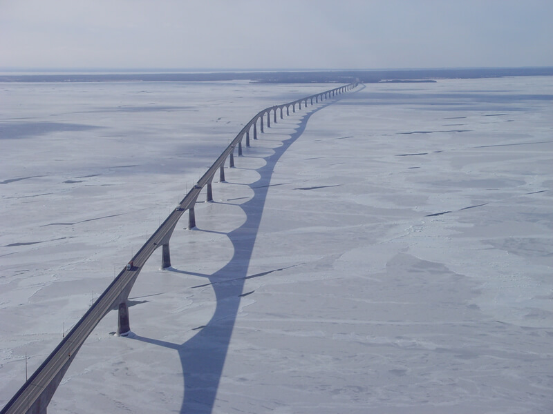
The Federal Bridge uses a reinforced concrete structure, which is designed to withstand the impact of icebergs. So it can withstand the harsh winters of Northumberland Strait, ice currents and strong winds. Like the Russky Island Bridge in Russia, it is a super bridge in the cold high latitudes. The service life of the bridge is planned for 100 years.
The main materials of the bridge were transported from Europe, and the heavy catamaran HLV Svanen made in the Netherlands was used. This ship was specially built for the construction of the Great Belt Bridge in Denmark and now serves the transportation of the Federal Bridge.
After HLV Svanen returned to Denmark, he participated in the construction and transportation of the Öresund Bridge jointly built by Denmark and Sweden.
More than 5,000 people participated in the construction of the Federal Bridge, including workers, engineers, surveyors and managers.
Confederation Bridge Data
- Country
- Canada
- Region
- North America
- Status
- In use
- Official name
- Confederation Bridge
- Other name
- The Fixed Link
- Location
- Borden-Carleton, Prince Edward Island Cape Jourimain, New Brunswick
- Official website
- confederationbridge.com
- Operator
- Strait Crossing Bridge Limited (SCBL)
- Cost
- CAD $1.3 billion ( about US $840 million )
- Began
- Oct, 1993
- Opened
- May-31, 1997
- Total length
- 8 mi ( 12.9 km )
- Deck height
- 131 ft ( 40 m )
- Longest span
- 820 ft ( 250 m )
- Design type
- Multi–span post-tensioned concrete box girder
- Toll
- C$48.50 two-axle automobile $8.25 per extra axle $19.25 motorcycle $9.00 bicycle (transported by shuttle vehicle) $4.50 pedestrian (transported by shuttle vehicle)
- Design speed
- 80 km/h (50 mph)
- Road scale
- 2 lanes
- Crosses
- Northumberland Strait
View Confederation Bridge on Google Satellite Map
Google satellite maps allow you to see building details more clearly, including natural landscapes such as mountains, rivers, deserts, sea and man-made engineering buildings.
If you are very interested in this engineering building, it is a good idea to click below Google Map icon. We will help you jump to the corresponding location of this building or engineering on Google satellite map.


