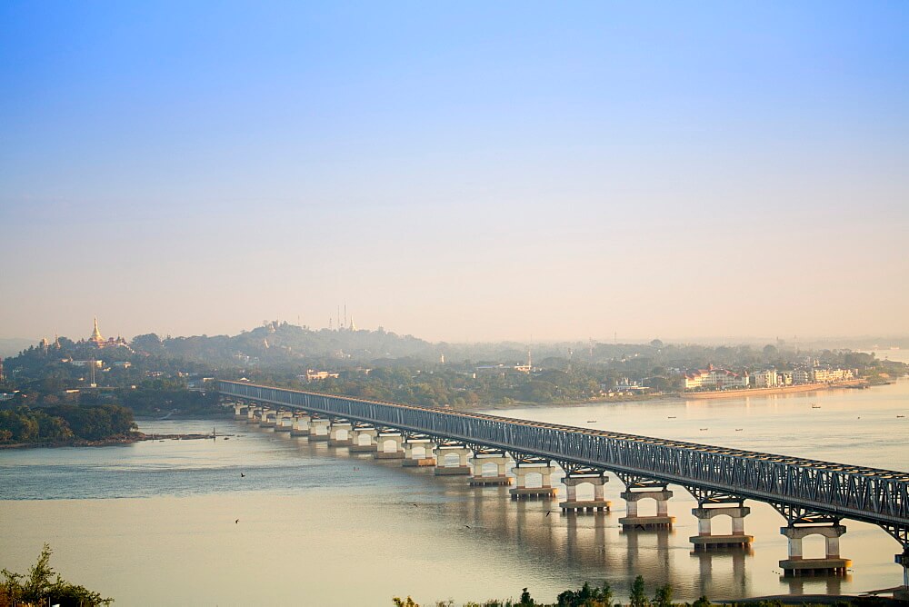
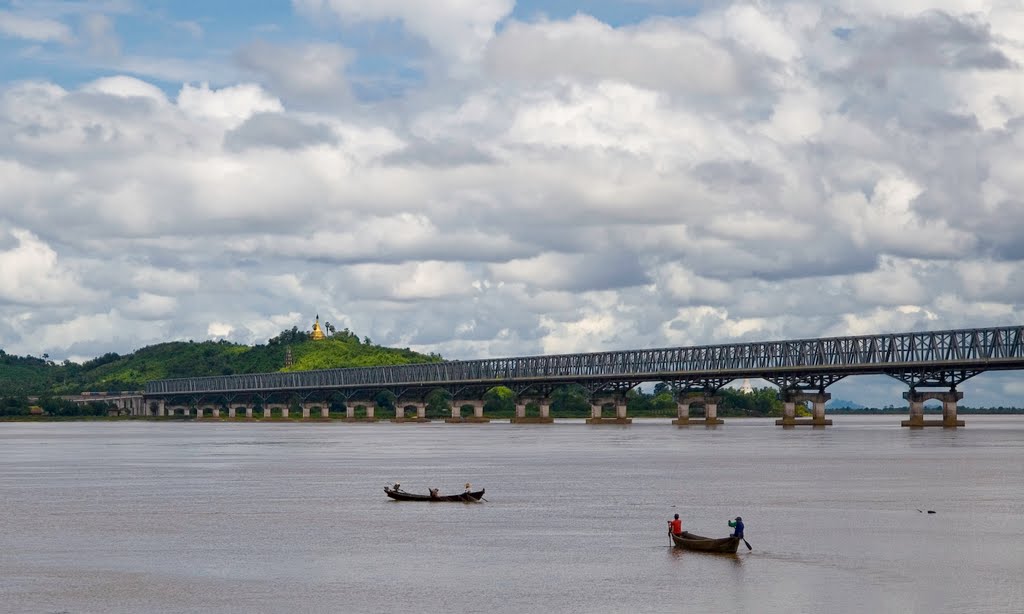
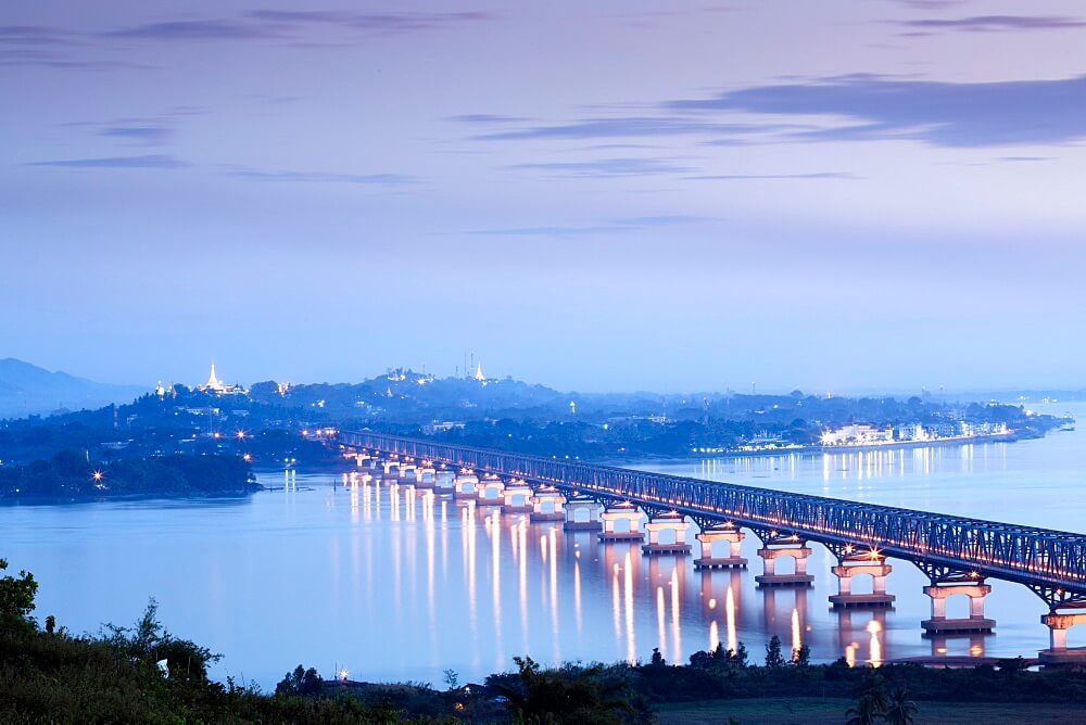
Thanlwin Bridge (Mawlamyine) is located in Mon State in the south of Myanmar. It crosses the confluence of three rivers. The three rivers are Thanlyin River, Gyaing River and Attayan River. It is a road and rail bridge connecting Mawlamyine City and Moke Ta Ma City.
The length of the bridge is 4.1 mi (6.6 km), the main bridge is 1.5 mi (2.4 km) long, and the Length over water is 1.3 mi (2.1 km). It started construction on March 18, 2000, and opened on February 5, 2005.
History
1998: Geographical survey was conducted for the construction of Thanlwin Bridge, and the bridge site (Mawlamyine) was selected.
March 18, 2000: The groundbreaking ceremony was held and the bridge officially began construction.
February 5, 2005: The opening ceremony of the bridge was attended by important officials from the military and political circles of Myanmar. More than 5,000 people attended. The highway part of the bridge is open to traffic.
2006: The railway bridge and approach bridge were completed. One year after the road bridge was completed, the railway bridge and Mawlamyine city railway station were opened.
Building technical parameters
The Thanlwin Bridge is 4.1 mi (6.6 km) long, the main bridge is 1.5 mi (2.4 km) long, and the Length over water is 1.3 mi (2.1 km).
The South Bank (Mawlamyine City) approach bridge is 2 mi (3.2 km) long, and the North Bank (Moke Ta Ma City) approach bridge is 2.7 mi (4.4 km) long.
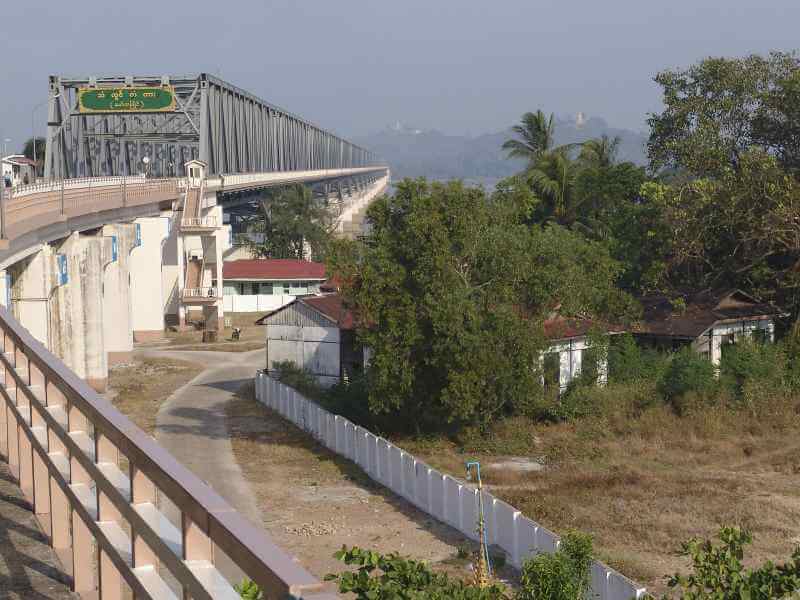
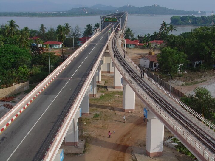
The bridge has motor vehicle lanes, railway tracks and sidewalks. The motor vehicle lane is 2 mi (3 km) long.
The bridge deck width is 56 ft (17 m), two lanes are 28 ft (8.6 m) wide, a railway is 14 ft (4.4 m) wide, and the sidewalk is 12 ft (3.8 m) wide.
The two-story Mawlamyine train station is 292 ft (89 m) long and 112 ft (34 m) wide. The total construction area is 638,000 square feet.
This bridge was designed and built by the Myanmar Ministry of Construction. The bridge has 28 bored piles, which were built with the help of the Caisson Type Foundation.
Bridge function
Myanmar engineers have made great innovative efforts in the construction of Thanlwin Bridge. It has improved transportation in southern Myanmar and improved the social and economic life of the people.
Thanlwin Bridge Data
- Country
- Myanmar
- Region
- Southeast Asia
- Status
- In use
- Official name
- သံလွင်တံတား(မော်လမြိုင်)
- Other name
- Thanlwin Bridge (Mawlamyine)
- Contractor
- Myanmar Ministry of Construction
- Designer
- Myanmar Ministry of Construction
- Began
- Mar-18, 2000
- Opened
- Feb-05, 2005
- Total length
- 4.1 mi ( 6.6 km )
- main bridge length
- 1.5 mi ( 2.4 km )
- Length over water
- 1.3 mi ( 2.1 km )
- Width
- 56 ft ( 17 m )
- Design type
- Steel Bridge
- Road scale
- 2 road lanes, 1 rail tracks
- Crosses
- Thanlyin River, Gyaing River, Attayan River
View Thanlwin Bridge on Google Satellite Map
Google satellite maps allow you to see building details more clearly, including natural landscapes such as mountains, rivers, deserts, sea and man-made engineering buildings.
If you are very interested in this engineering building, it is a good idea to click below Google Map icon. We will help you jump to the corresponding location of this building or engineering on Google satellite map.


